Landmark: Newport Bridge (Claiborne Pell Bridge)
City: Newport RI
Country: USA Rhode Island
Continent: North America
Newport Bridge (Claiborne Pell Bridge), Newport RI, USA Rhode Island, North America
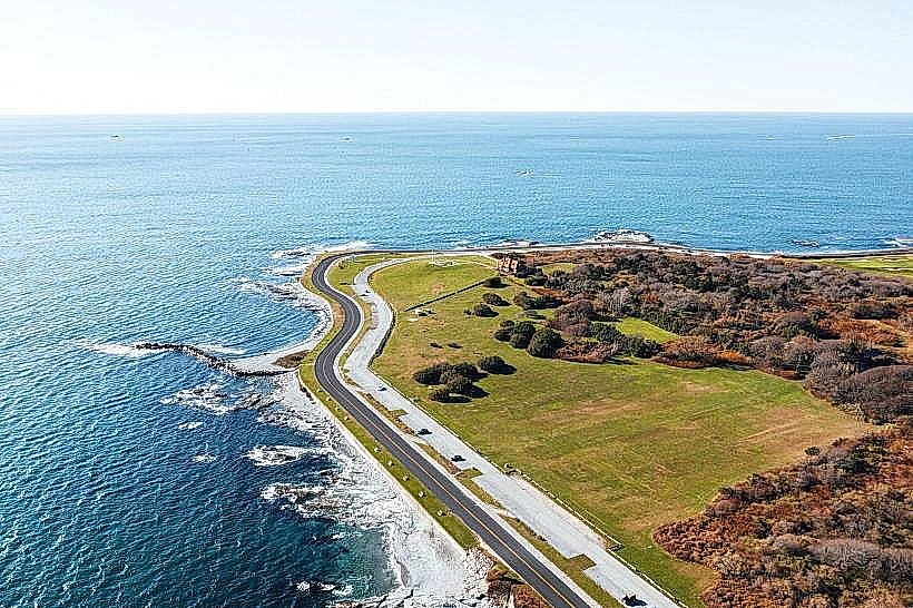
The Claiborne Pell Bridge, commonly known as the Newport Bridge, is a suspension bridge spanning the East Passage of Narragansett Bay, connecting the city of Newport on Aquidneck Island to the mainland town of Jamestown, Rhode Island.
Visual Characteristics
The bridge features a steel truss structure with two main suspension cables. Its deck is approximately 2,137 meters (7,011 feet) long and 18 meters (60 feet) wide. The main towers rise 109 meters (358 feet) above mean high water. The primary color of the steel structure is a dark gray.
Location & Access Logistics
The Newport Bridge is located approximately 3.2 kilometers (2 miles) southwest of downtown Newport. Access is via RI Route 138 Eastbound from Jamestown and RI Route 138 Westbound from Newport. Tolls are collected for eastbound traffic entering Aquidneck Island. Parking is not available on the bridge itself. Public transportation options include the RIPTA Route 60 bus, which crosses the bridge.
Historical & Ecological Origin
Construction of the Newport Bridge began in 1956 and it opened to traffic in 1969. It was designed by the engineering firm of O.H. Ammann & Associates. The bridge was built to replace an aging ferry service and to improve access to Newport and Aquidneck Island. The bridge spans a section of Narragansett Bay, a tidal estuary.
Key Highlights & Activities
Pedestrian and bicycle access is permitted on the bridge during daylight hours, offering views of Narragansett Bay. Fishing from designated areas on the Jamestown side of the bridge is possible. Photography of the bridge structure and bay views is a common activity.
Infrastructure & Amenities
Restrooms are not available on the bridge. There is no dedicated shade. Cell phone signal (4G/5G) is generally available. Food vendors are not present on the bridge; options are available in Newport and Jamestown.
Best Time to Visit
For photography, sunrise and sunset offer distinct lighting conditions on the bridge structure and bay. Weather is generally most favorable for outdoor activities between May and October. Tidal conditions do not directly impact bridge access but can affect bay visibility.
Facts & Legends
The bridge was named in honor of Senator Claiborne Pell, who represented Rhode Island for 36 years and was instrumental in securing federal funding for its construction and subsequent rehabilitation projects. A local anecdote suggests that on exceptionally clear days, one can see the outline of Block Island from the bridge's highest point.
Nearby Landmarks
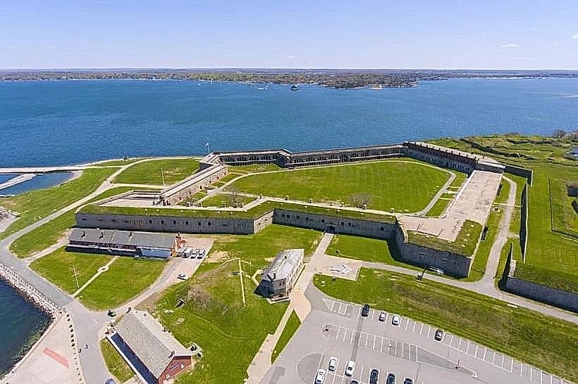
- Fort Adams State Park (2.5km East)
- International Tennis Hall of Fame (2.8km East)
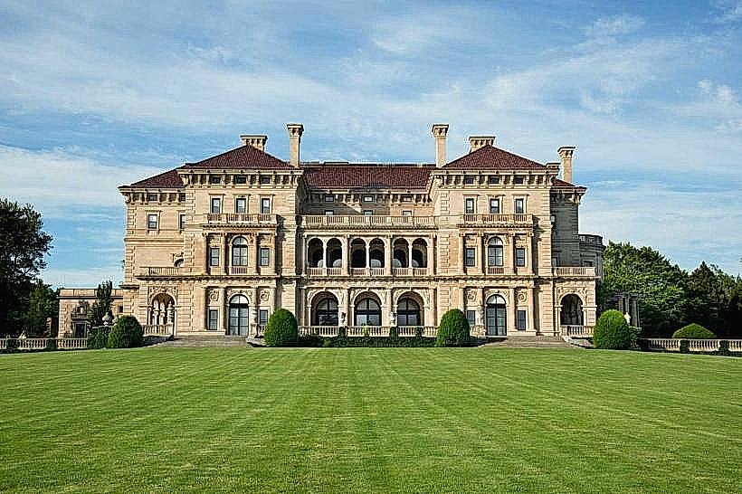
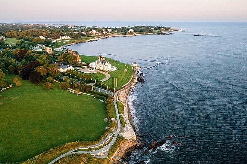
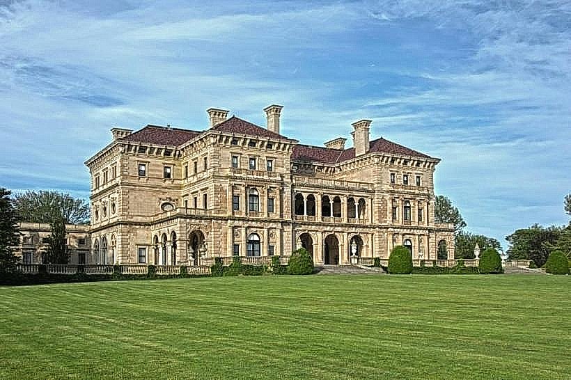
- The Breakers (3.0km East)
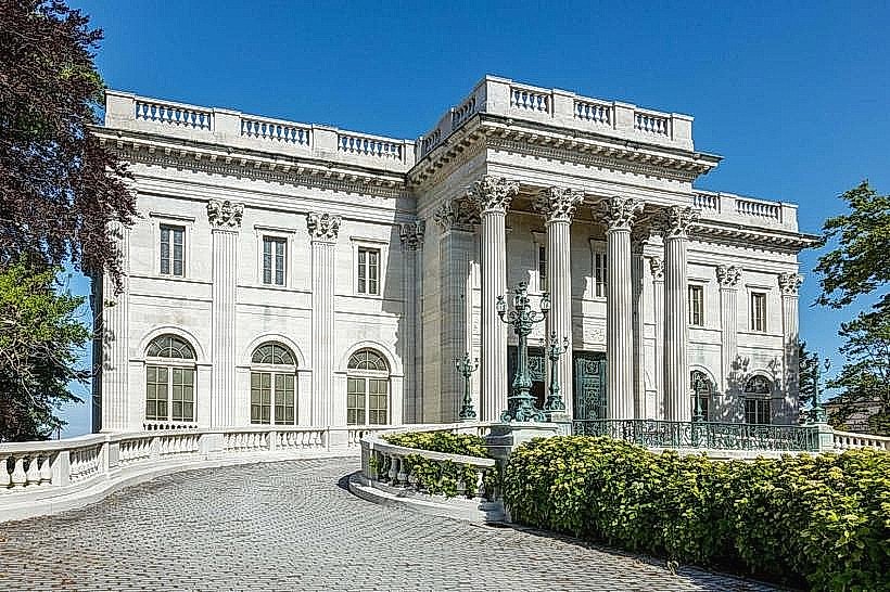
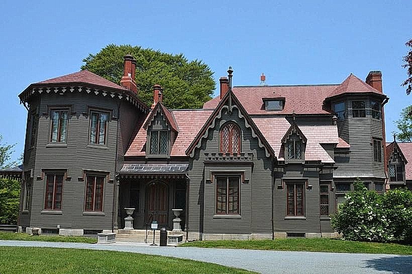
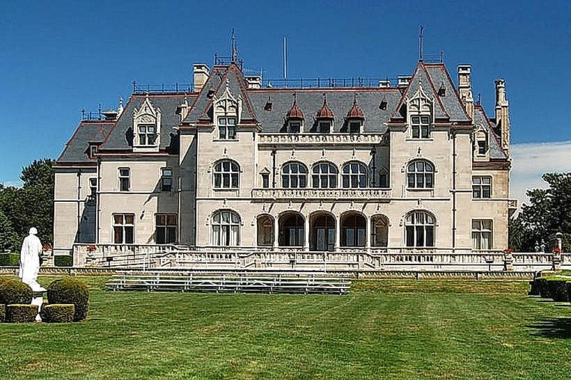
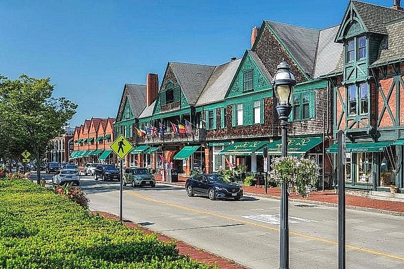
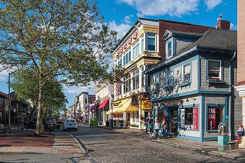
- Newport Mansions (various, within 3.5km East)
- Jamestown Windmill (1.8km West)