Landmark: Oahe Dam
City: Pierre
Country: USA South Dakota
Continent: North America
Oahe Dam, Pierre, USA South Dakota, North America
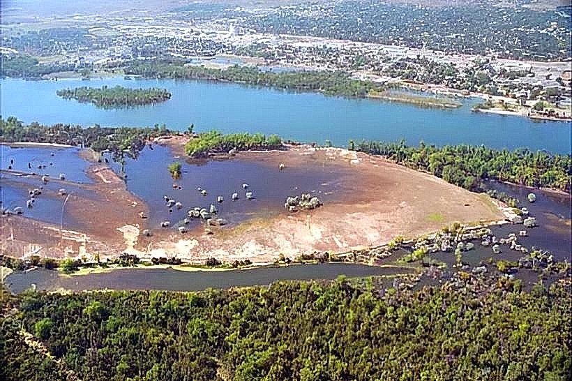
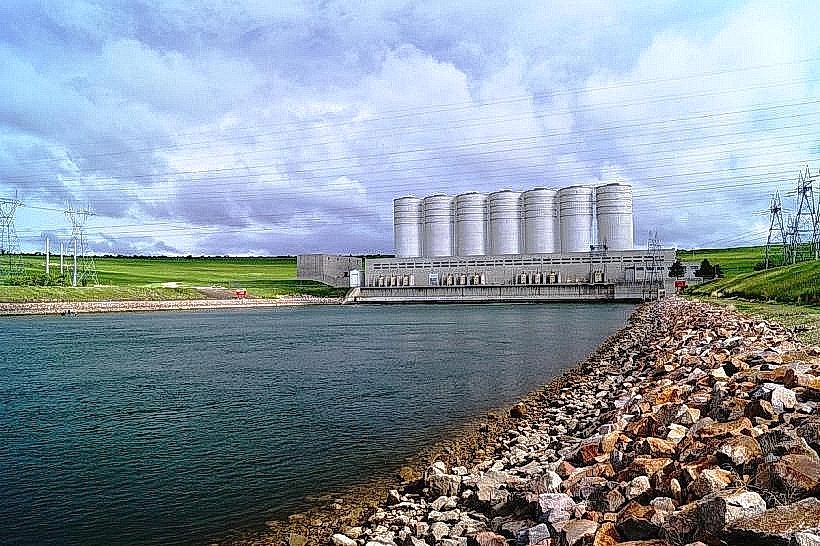
Oahe Dam is a large embankment dam located on the Missouri River near Pierre, South Dakota, USA.
Visual Characteristics
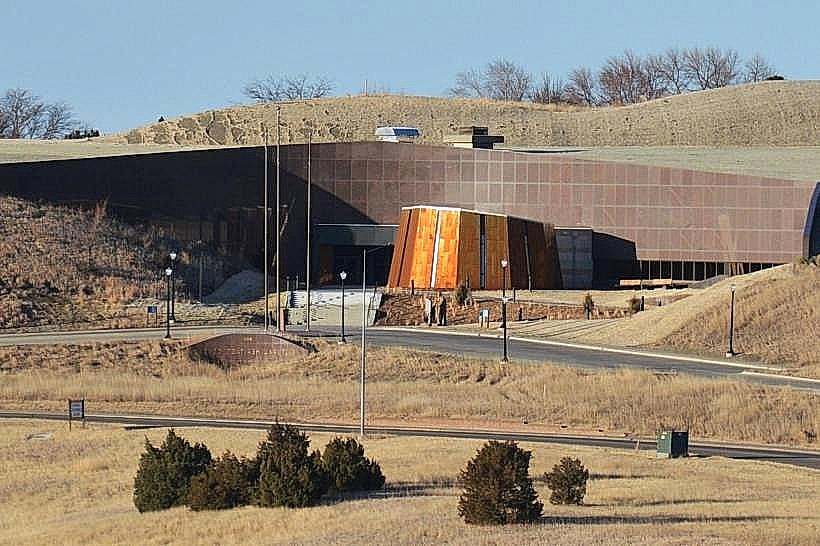
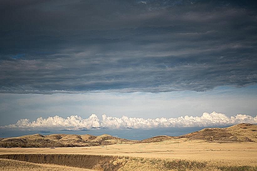
The dam is an earth-fill embankment structure measuring approximately 240 feet (73 meters) in height and 9,330 feet (2,844 meters) in length. Its construction utilizes compacted earth and rock. The reservoir it creates, Lake Oahe, has a shoreline that varies in color depending on sediment content, typically appearing brown to greenish-brown. The surrounding landscape consists of rolling prairie and bluffs.
Location & Access Logistics
Oahe Dam is situated approximately 6 miles (9.7 km) north of Pierre, South Dakota. Access is via South Dakota Highway 1804, which runs along the dam's crest and provides parking areas. Public transportation is not available directly to the dam; visitors typically arrive by private vehicle. The nearest major airport is Pierre Regional Airport (PIR), located about 10 miles (16 km) south of the dam.
Historical & Ecological Origin
Construction of Oahe Dam began in 1948 and was completed in 1962. It was authorized by the Flood Control Act of 1944. The dam's primary purposes are flood control, hydroelectric power generation, irrigation, and navigation. Ecologically, the dam significantly altered the Missouri River's flow regime and created a large reservoir, impacting local habitats and fish populations.
Key Highlights & Activities
Visitors can walk across the dam's crest for views of Lake Oahe and the Missouri River. The Oahe Dam Visitor Center offers exhibits on the dam's construction and operation. Fishing is permitted in designated areas of Lake Oahe. Boating and water sports are popular on the reservoir during warmer months. Hiking trails are available in the vicinity of the dam.
Infrastructure & Amenities
Restrooms are available at the Oahe Dam Visitor Center. Shaded picnic areas are located near the visitor center. Cell phone signal (4G/5G) is generally available in the immediate vicinity of the dam and visitor center. Food vendors are not typically present at the dam itself; dining options are available in Pierre.
Best Time to Visit
The best time of day for photography is generally during the morning or late afternoon when the sun angle provides more defined shadows and softer light on the dam structure and reservoir. The best months for visiting are from May through September, offering the most favorable weather for outdoor activities. Lake Oahe is accessible year-round, but water-based activities are seasonal.
Facts & Legends
A notable historical oddity is that Oahe Dam was originally intended to extend further north, with its reservoir potentially reaching into North Dakota. The dam's power plant has a generating capacity of 595 megawatts. Local lore sometimes discusses the immense power of the Missouri River and the engineering feat required to control it.
Nearby Landmarks
- South Dakota State Capitol Building (5.5km South)
- Cultural Heritage Center (5.8km South)
- Gettysburg National Military Park Museum & Visitor Center (45km Northeast)
- Missouri National Recreational River (Various points along the river, closest access 10km South)
- LaFramboise Island Nature Area (6.2km South)