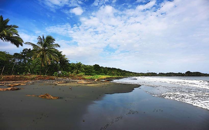
Landmark: Pacuare River
City: Limon
Country: Costa Rica
Continent: North America
Pacuare River, Limon, Costa Rica, North America
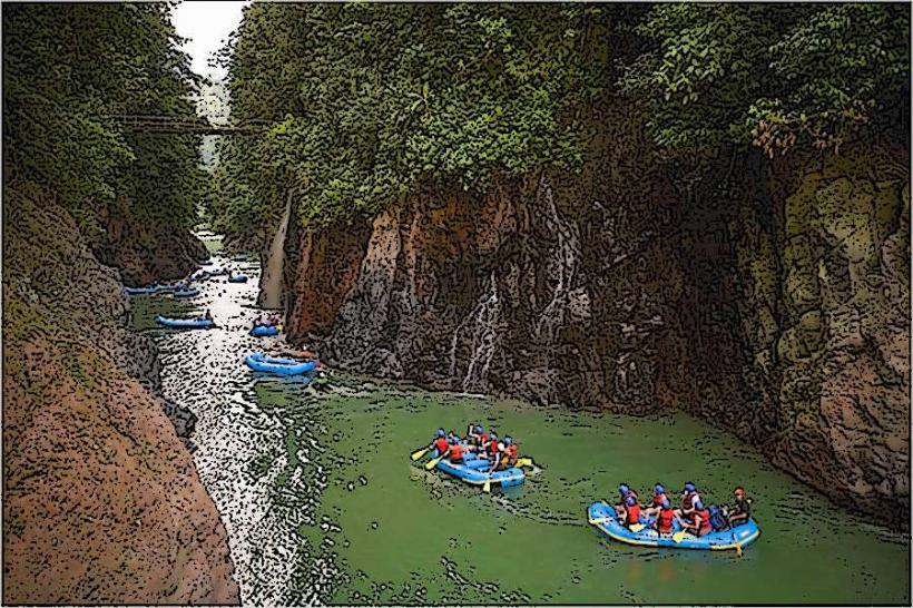
The Pacuare River is a significant river located in the Limón Province of Costa Rica. It is renowned for its whitewater rafting opportunities and its surrounding primary rainforest.
Visual Characteristics
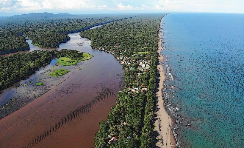
The river's water color ranges from a deep emerald green to a muddy brown depending on recent rainfall. The riverbanks are characterized by dense, primary rainforest vegetation, including large trees, ferns, and epiphytes. Rock formations are visible along the riverbed and banks, with some sections featuring sheer rock faces and others gentler slopes.
Location & Access Logistics
Access to the Pacuare River for rafting typically begins from designated put-in points. One common access point is near the town of Turrialba, approximately 60 kilometers east of San José. Another access point is closer to the Caribbean coast. Transportation to these points is usually arranged by tour operators, often involving a combination of bus and 4x4 vehicle transfers. Parking is generally available at the tour operator's base or designated staging areas.
Historical & Ecological Origin
The Pacuare River is a natural waterway formed by the confluence of smaller streams originating in the Talamanca Mountains. Its ecological significance lies in its status as a vital corridor for biodiversity within the Neotropical rainforest. The river's course has been shaped by geological processes over millennia, carving its path through volcanic rock and sedimentary deposits.
Key Highlights & Activities
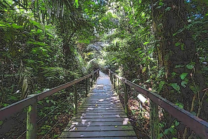
The primary activity is whitewater rafting, with Class III and Class IV rapids suitable for various skill levels. Kayaking is also possible. Hiking trails exist in the surrounding rainforest, offering opportunities for birdwatching and observing flora and fauna. Some lodges along the river offer multi-day stays with activities like zip-lining and waterfall visits.
Infrastructure & Amenities
Infrastructure is minimal along the river itself, primarily consisting of eco-lodges accessible only by river. These lodges may offer basic amenities such as restrooms, dining facilities, and limited shade from natural canopy. Cell phone signal is generally absent or unreliable along most of the river course. Food vendors are typically found at the put-in and take-out points, not directly on the river.
Best Time to Visit
The best time for whitewater rafting is during the dry season, from January to April, when water levels are generally lower and more predictable. The rainy season (May to December) can lead to higher water levels and more challenging rapids. For photography, early morning and late afternoon offer softer light. High tide is not a relevant factor for river access.
Facts & Legends
The Pacuare River is considered one of the most biodiverse rivers in Central America. A unique aspect of visiting is the reliance on river transport for accessing accommodations, with no road access to the lodges situated along its banks.
Nearby Landmarks
- Turrialba Volcano National Park (20km Northwest)
- La Paz Waterfall Gardens (75km West)
- Irazú Volcano National Park (65km West)
- Cahuita National Park (80km East)
- Gandoca-Manzanillo Wildlife Refuge (100km Southeast)