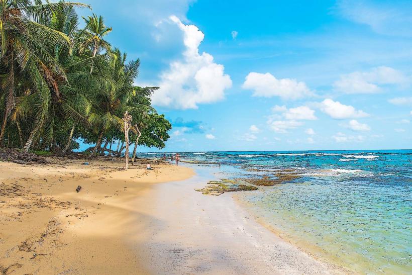
Landmark: Playa Cocles
City: Limon
Country: Costa Rica
Continent: North America
Playa Cocles, Limon, Costa Rica, North America
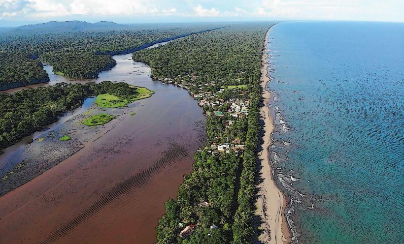
Playa Cocles is a coastal area situated east of Puerto Viejo de Talamanca in the Limón Province of Costa Rica.
It is characterized by its expansive sandy shoreline and consistent wave patterns.
Visual Characteristics
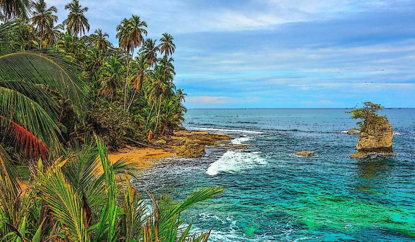
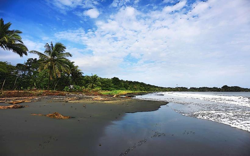
The beach consists of dark, coarse sand. The water color varies from deep blue to turquoise depending on sunlight and depth. The shoreline is approximately 1.5 kilometers long and is bordered by dense tropical vegetation, including palm trees and various jungle flora. Wave breaks are prominent, particularly during certain seasons.
Location & Access Logistics
Playa Cocles is located 2 kilometers east of Puerto Viejo de Talamanca along the main coastal road, Route 241 (also known as the Carretera Principal). Access is directly from this paved road. Parking is available along the roadside in designated areas, though it can become congested during peak times. Public transport options include local buses that run between Puerto Viejo and Manzanillo, with frequent stops at Playa Cocles. The closest major airport is Limón International Airport (LIO), approximately 50 kilometers west.
Historical & Ecological Origin
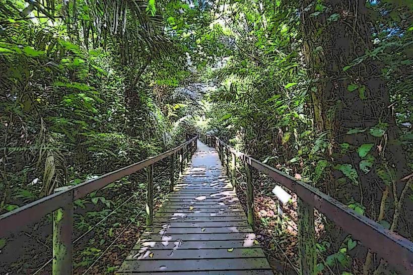
Playa Cocles is a natural formation, part of the Caribbean coastline of Costa Rica. Its geological origin is linked to the erosion and deposition processes of the Caribbean Sea over millennia. Ecologically, it is situated within a tropical rainforest biome, supporting a diverse range of coastal and jungle species.
Key Highlights & Activities
Surfing is a primary activity, with consistent waves suitable for various skill levels. Lessons and equipment rentals are available from local surf schools. Swimming is possible, but caution is advised due to strong currents and wave action. Walking the length of the beach provides views of the coastline and surrounding jungle. Birdwatching is also an option within the adjacent vegetation.
Infrastructure & Amenities
Restrooms are available at some of the beachfront establishments. Shade is provided by natural tree cover and some palapas. Cell phone signal (4G) is generally available. Food vendors and small restaurants are located along the main road adjacent to the beach, offering local cuisine.
Best Time to Visit
For surfing, the dry season (February to April and August to October) typically offers the most consistent swells. The best time of day for photography is generally early morning or late afternoon when the sun angle is lower, providing softer light. High tide can increase wave size for experienced surfers.
Facts & Legends
A local legend suggests that the name "Cocles" originates from the sound of the waves crashing, which some interpret as a rhythmic "co-cle, co-cle." The area is known for its strong undertow, making it essential for swimmers to be aware of their capabilities and local conditions.
Nearby Landmarks
- Puerto Viejo de Talamanca (2km West)
- Playa Chiquita (3km East)
- Punta Uva (5km East)
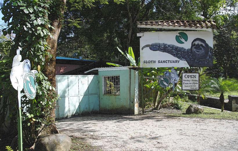
- Jaguar Rescue Center (1.5km West)