Landmark: Planken Hiking Trails
City: Planken
Country: Liechtenstein
Continent: Europe
Planken Hiking Trails, Planken, Liechtenstein, Europe
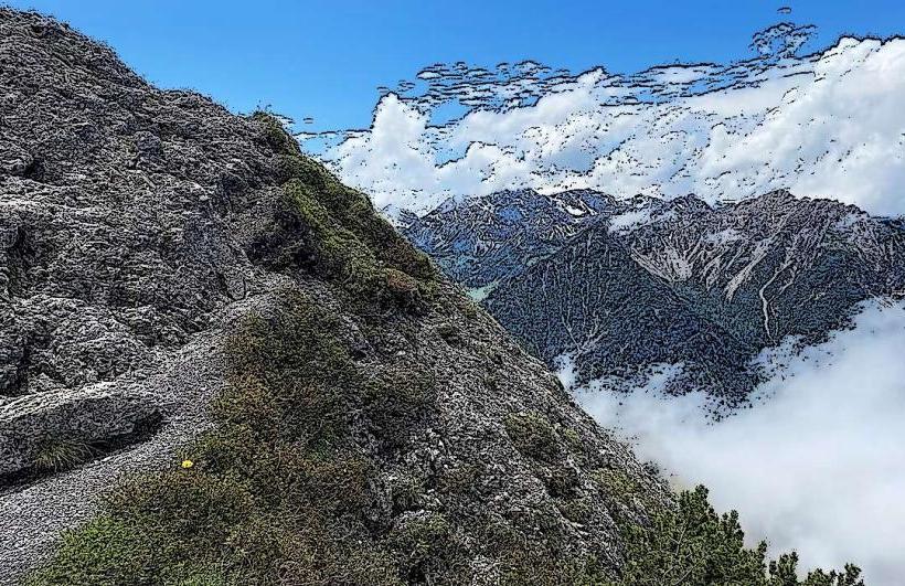
The Planken Hiking Trails are a network of marked footpaths located in the municipality of Planken, Liechtenstein. These trails traverse alpine meadows and forested areas, offering views of the Rhine Valley.
Visual Characteristics
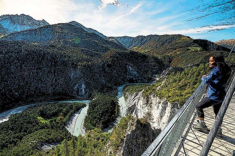
The trails consist of compacted earth and gravel paths, varying in width and gradient. The surrounding landscape features dense coniferous forests, primarily spruce and fir, interspersed with open alpine pastures. Elevation changes are significant, ranging from approximately 700 meters to over 1500 meters above sea level. Views often extend across the Rhine Valley to the Swiss Alps.
Location & Access Logistics
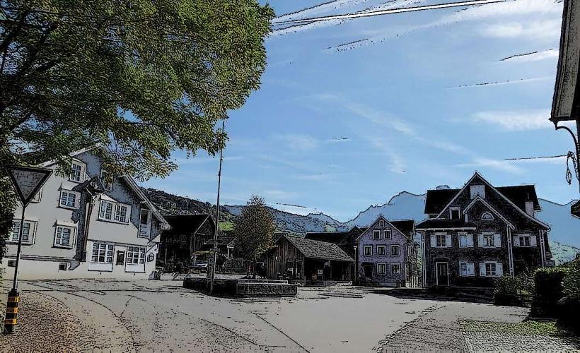
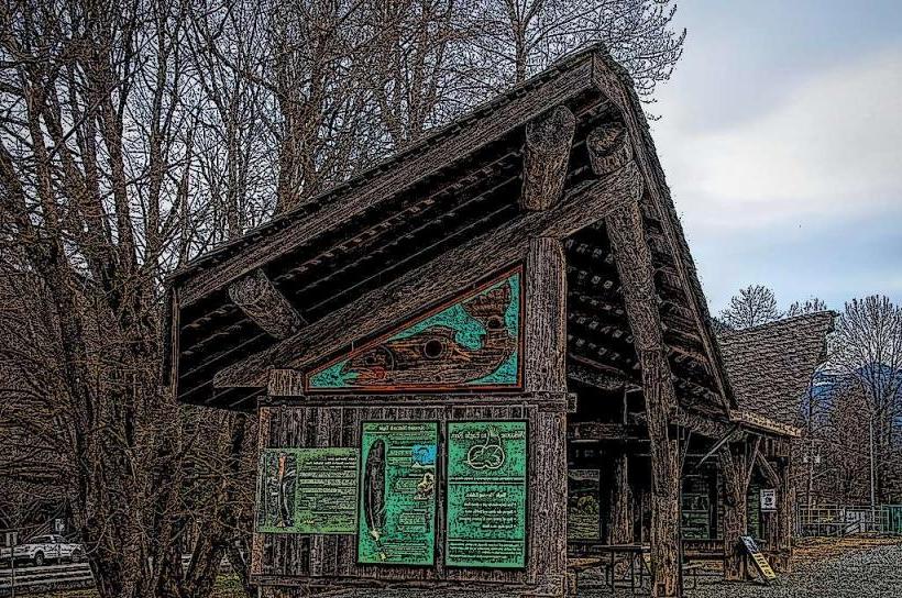
The trails are accessible directly from the village center of Planken. From Vaduz, take Landstrasse 16 north for approximately 5 kilometers, then turn east onto Plankenstrasse. Parking is available at designated lots near the Planken municipal office and the church. Public transport is limited; bus line 21 (LIEmobil) serves Planken, with stops near trailheads.
Historical & Ecological Origin
The hiking trails are part of a long-established network used historically for alpine farming, forestry, and local transit. Ecologically, the area is characterized by subalpine and alpine vegetation zones, supporting diverse flora and fauna typical of the Rätikon Alps. The underlying geology consists primarily of limestone and dolomite formations, contributing to the rugged terrain.
Key Highlights & Activities
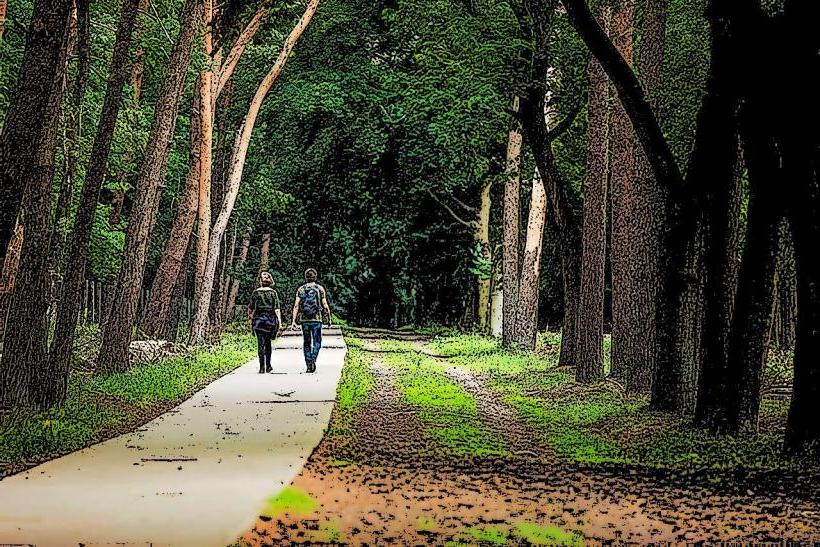
Activities include hiking various marked trails, such as the challenging Fürstensteig, which features exposed sections with fixed ropes, and the more moderate Planken Panorama Trail. Trail running is also common on less technical routes. Designated picnic areas are available along certain paths.
Infrastructure & Amenities
Restrooms are available in the village of Planken near the main trailheads. Shade is provided by the extensive forest sections along many routes. Cell phone signal (4G/5G) is generally reliable throughout most of the trail network, though reception can be intermittent in deep valleys. Food vendors are not directly on the trails, but restaurants and a small grocery store are located in Planken village.
Best Time to Visit
The best time to visit is from late May to early October, when trails are typically free of snow and weather conditions are favorable. Mornings offer cooler temperatures and clearer views for photography. Avoid visiting during heavy rainfall due to slippery conditions and potential rockfall.
Facts & Legends
A local legend speaks of a "Wild Man" (Wild Maa) who once roamed the forests above Planken, protecting the wildlife and occasionally guiding lost travelers. A practical tip for visitors is to carry sufficient water, as natural springs are not always reliable, especially during dry periods, and refill points are scarce on the trails themselves.
Nearby Landmarks
- Gaflei: 3.5km East
- Schellenberg Castle Ruins: 4.0km North
- Ruggeller Riet Nature Reserve: 4.8km Northwest
- Vaduz Castle: 5.0km South