Information
Landmark: Playa Santa CatalinaCity: Santiago City
Country: Panama
Continent: North America
Playa Santa Catalina, Santiago City, Panama, North America
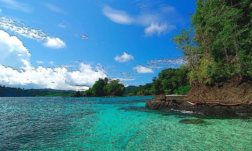
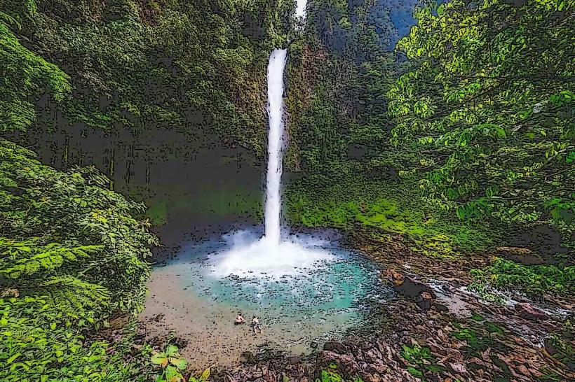
Playa Santa Catalina is a coastal area situated near Santiago City, Panama. It is recognized for its surf conditions and proximity to Coiba National Park.
Visual Characteristics
The beach consists of dark volcanic sand. The water color varies from deep blue to turquoise depending on sunlight and depth. The coastline is characterized by a mix of exposed rock formations and areas of dense coastal vegetation.
Location & Access Logistics
Playa Santa Catalina is located approximately 70 kilometers south of Santiago City. Access is via Panama Route 1, then turning onto the unpaved road towards Santa Catalina. The final 10 kilometers are unpaved. Parking is available on-site, with capacity for approximately 50 vehicles. Public transport options are limited; a local bus service operates from Santiago City to the village of Santa Catalina, requiring a subsequent taxi or walk to the beach.
Historical & Ecological Origin
The geological formation of the coastline is primarily volcanic rock. The area is part of a marine ecosystem that supports diverse aquatic life, forming a buffer zone for the adjacent Coiba National Park, a UNESCO World Heritage site.
Key Highlights & Activities
Surfing is a primary activity, with consistent waves suitable for various skill levels. Boat tours to Coiba National Park depart from the nearby pier. Snorkeling and diving are possible in designated areas, particularly during calmer sea conditions. Fishing charters are also available.
Infrastructure & Amenities
Restrooms are available at the main beach access point. Limited shade is provided by natural vegetation. Cell phone signal (4G) is intermittent. Food vendors and small restaurants are located in the village of Santa Catalina, approximately 1 kilometer from the beach.
Best Time to Visit
For surfing, the dry season (December to April) offers the most consistent swells. The best time of day for photography is typically late afternoon due to the angle of the sun. High tide is generally preferred for swimming and some water activities.
Facts & Legends
The name "Santa Catalina" is attributed to a local legend involving a shipwreck and a surviving sailor who found refuge in the area. A specific tip for visitors is to check tide charts before planning boat excursions to Coiba, as rough seas can cause cancellations.
Nearby Landmarks
- Coiba National Park (15km Southwest, accessible by boat)
- Isla Cebaco (20km Southwest, accessible by boat)
- La Reina Beach (3km Northeast)
- Santa Catalina Village (1km North)