Landmark: Pont de Garoua
City: Garoua
Country: Cameroon
Continent: Africa
Pont de Garoua, Garoua, Cameroon, Africa
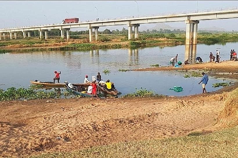
The Pont de Garoua is a bridge located in the city of Garoua, Cameroon. It spans the Benue River.
Visual Characteristics
The bridge is a concrete structure with multiple spans. It features a roadway surface for vehicular traffic and pedestrian walkways on either side. The supporting piers are constructed from reinforced concrete. The overall color is a utilitarian grey, with metal railings along the walkways.
Location & Access Logistics
The Pont de Garoua is situated in the central part of Garoua, crossing the Benue River. It connects the northern and southern districts of the city. Access is directly from the main N1 highway, which passes through Garoua. Ample on-site parking is available on both the north and south approaches to the bridge. Public transport, including local taxis and minibuses, frequently traverses the bridge, providing direct access to various city points.
Historical & Ecological Origin
Construction of the Pont de Garoua was completed in 1977. It was built to facilitate transportation and trade across the Benue River, which is a significant waterway in the region. The bridge's construction was part of a broader infrastructure development plan for northern Cameroon.
Key Highlights & Activities
Observation of river traffic, including local fishing boats and larger cargo barges. Photography of the bridge structure and the surrounding riverine landscape. Walking or cycling across the bridge to experience the city from a different perspective.
Infrastructure & Amenities
The bridge itself has basic lighting for nighttime visibility. Pedestrian walkways are present. Restrooms and food vendors are not directly located on the bridge but are available in the immediate vicinity on either side of the river. Cell phone signal (4G/5G) is generally strong in this urban area.
Best Time to Visit
For photography, early morning or late afternoon provides optimal lighting conditions, avoiding harsh midday sun. The dry season, typically from November to April, offers more stable weather and lower river levels, potentially revealing more of the riverbanks. The wet season (May to October) can lead to higher river levels.
Facts & Legends
During the rainy season, the Benue River can swell significantly, sometimes reaching levels that necessitate temporary traffic restrictions on the bridge. Local lore sometimes speaks of the river's spirit influencing the water levels, though this is not scientifically verified.
Nearby Landmarks
- Garoua Central Market (0.8km Southwest)
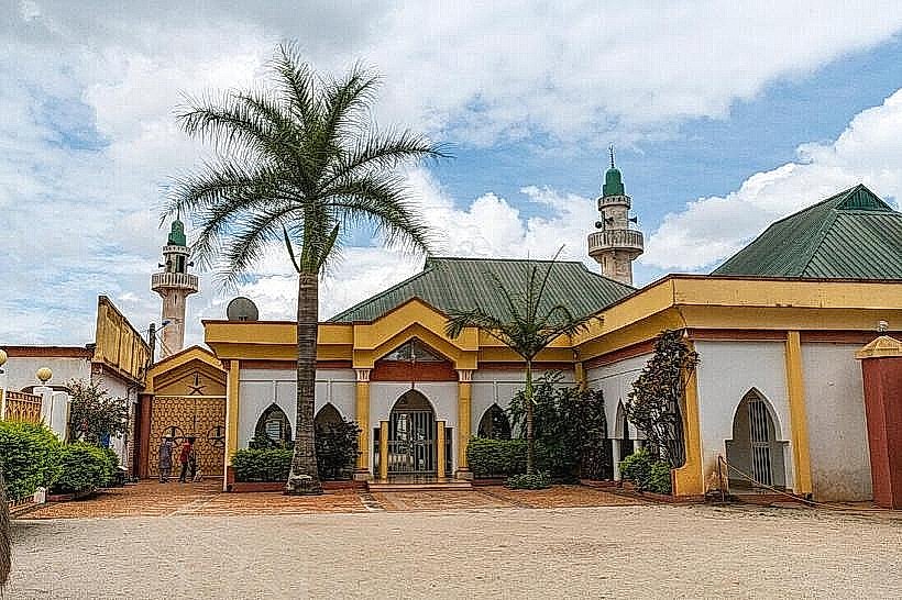
- Grand Mosque of Garoua (1.2km West)
- Garoua Regional Hospital (1.5km Northwest)
- Benue National Park Entrance (Approx. 40km North - outside 5km radius, but significant regional landmark)