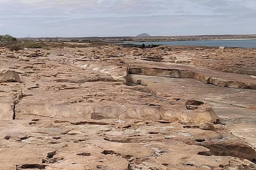
Landmark: Ponta do Sinó
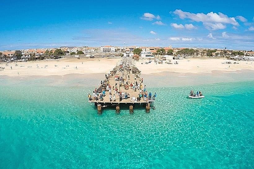
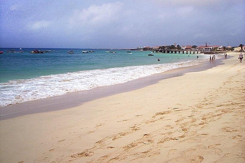
City: Santa Maria
Country: Cabo Verde
Continent: Africa
Ponta do Sinó, Santa Maria, Cabo Verde, Africa
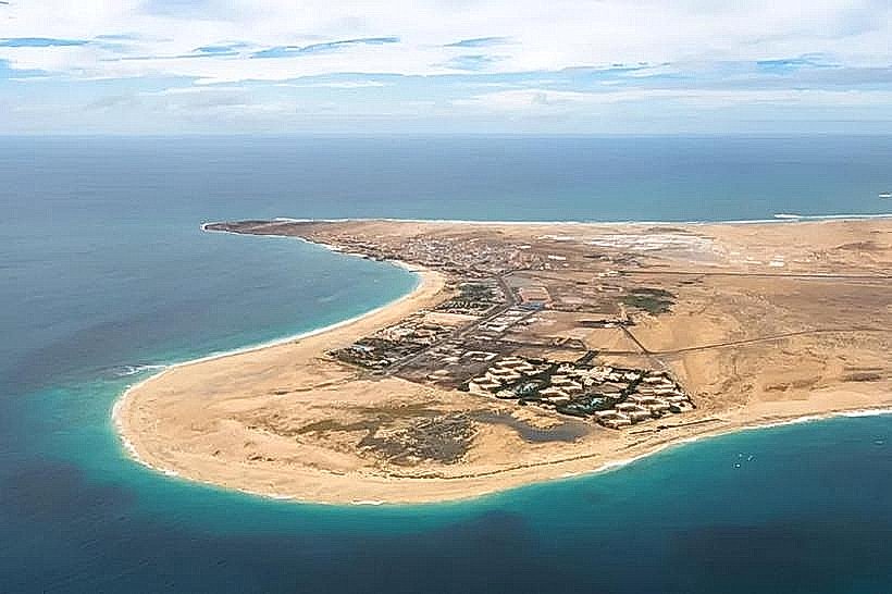
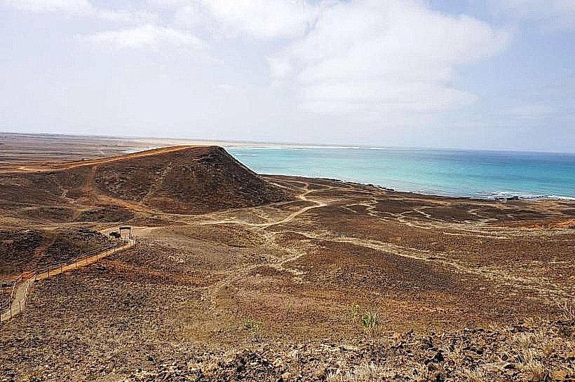
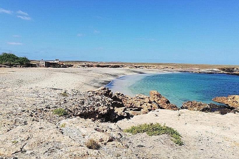
Ponta do Sinó is a geological promontory located on the western coast of the island of Sal, within the municipality of Santa Maria, Cabo Verde.
Visual Characteristics
This coastal feature consists of dark, volcanic rock formations extending into the Atlantic Ocean. The rock surfaces are generally rough and uneven. The surrounding water exhibits a deep blue hue, with white foam generated by wave action against the rocks. Vegetation is sparse, limited to low-lying, drought-resistant coastal scrub.
Location & Access Logistics
Ponta do Sinó is situated approximately 5 kilometers west of the center of Santa Maria. Access is via the unpaved road leading towards the lighthouse (Farol de Sal). The final approach requires navigating a rough track, best suited for 4x4 vehicles. Parking is available on the unpaved ground near the promontory's base. Public transport does not directly serve this location.
Historical & Ecological Origin
The promontory is composed of basaltic lava flows, a product of volcanic activity that formed the island of Sal millions of years ago. It represents an exposed section of the island's ancient volcanic bedrock.
Key Highlights & Activities
Observation of wave patterns and coastal erosion is possible. The area is suitable for geological observation. No specific marked trails exist for hiking.
Infrastructure & Amenities
No public restrooms, shade structures, or food vendors are present at Ponta do Sinó. Cell phone signal (4G/5G) is generally available.
Best Time to Visit
For photography, the late afternoon provides angled sunlight on the rock formations. The dry season, from November to June, offers the most stable weather conditions. No tide-specific activities are recommended.
Facts & Legends
Local lore suggests that the shape of the promontory, when viewed from a specific angle at sea, resembles a "sinus" or a wave, hence its name. Geologically, it is a significant point for observing the island's volcanic origins.
Nearby Landmarks
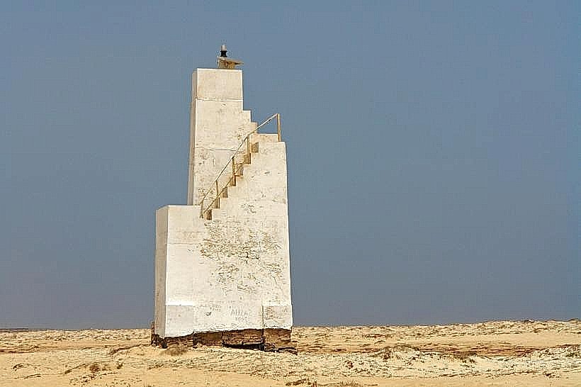
- Farol de Sal (Lighthouse) - 0.8km Northeast
- Praia da Ponta do Sinó - 0.2km South
- Santa Maria Town Center - 5km East
- Cemitério de Santa Maria - 4.5km East