Information
Landmark: Punta Jesus MaríaCity: Ometepe Island
Country: Nicaragua
Continent: North America
Punta Jesus María, Ometepe Island, Nicaragua, North America
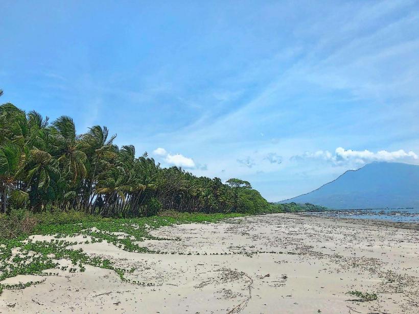
Punta Jesus María is a narrow peninsula extending into Lake Nicaragua on the southwestern side of Ometepe Island, Nicaragua.
It is characterized by its distinct shape and the surrounding aquatic environment.
Visual Characteristics
The peninsula consists of dark volcanic sand and gravel. Vegetation is sparse, primarily consisting of low-lying grasses and scattered shrubs adapted to the arid conditions. The landform narrows significantly as it extends into the lake, creating a distinct point.
Location & Access Logistics
Punta Jesus María is located approximately 10 kilometers south of Moyogalpa, the main port town on Ometepe Island. Access is via the paved road that encircles the island, specifically the Carretera a Punta Jesus María. The final approach involves a short, unpaved track. Parking is available at the base of the peninsula, with capacity for approximately 15-20 vehicles. Public transport options are limited; local buses run along the main island road, requiring a walk of approximately 1 kilometer from the nearest stop.
Historical & Ecological Origin
The peninsula is a geomorphological feature formed by volcanic activity and lacustrine sedimentation. It is composed of material eroded from the Maderas Volcano and deposited by wave action and currents within Lake Nicaragua. Its formation is ongoing, influenced by lake levels and sediment transport.
Key Highlights & Activities
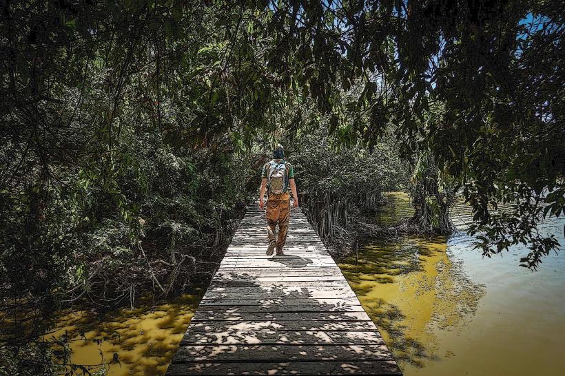
Walking the length of the peninsula to its tip is the primary activity. Observation of birdlife, particularly waterfowl and shorebirds, is possible. Swimming is permitted in the lake waters adjacent to the peninsula. Photography of the peninsula's shape against the lake and surrounding volcanoes is a common pursuit.
Infrastructure & Amenities
There are no permanent structures or amenities directly on Punta Jesus María. Restrooms are not available. Shade is minimal, provided only by sparse vegetation. Cell phone signal (4G/5G) is generally available but can be intermittent at the furthest points of the peninsula.
Best Time to Visit
The best time of day for photography is during the early morning or late afternoon when the sun angle provides optimal lighting on the peninsula and lake. The dry season, from December to April, offers the most stable weather conditions. Lake levels can influence the perceived width and length of the peninsula; lower lake levels expose more of the sandbar.
Facts & Legends
Local folklore suggests that the peninsula was formed by a giant serpent that emerged from the lake. A verified observation is the frequent presence of large iguanas basking on the warm volcanic rocks during sunny periods.
Nearby Landmarks
- Ojo de Agua (1.5km Northwest)
- Finca La Paz (2.0km North)
- San Ramón Waterfall (4.0km Northeast)
- Maderas Volcano National Park Entrance (4.5km Northeast)