Landmark: Reserva de la Biosfera de la Sierra del Rosario
City: Pinar del Rio
Country: Cuba
Continent: North America
Reserva de la Biosfera de la Sierra del Rosario, Pinar del Rio, Cuba, North America
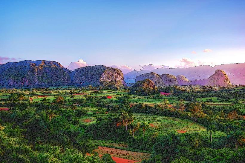
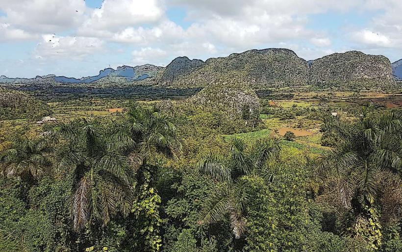
The Reserva de la Biosfera de la Sierra del Rosario is a protected biosphere reserve located in the Pinar del Rio province of Cuba. It encompasses a significant area of mountainous terrain and diverse ecosystems.
Visual Characteristics
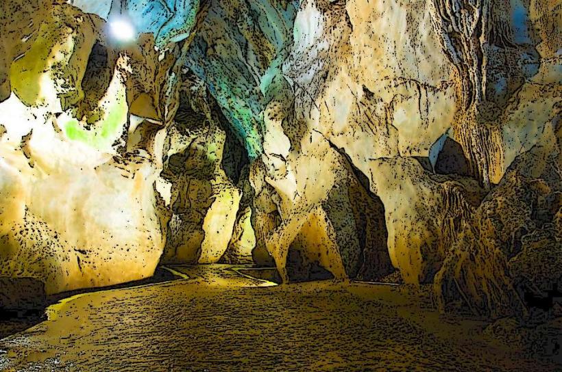
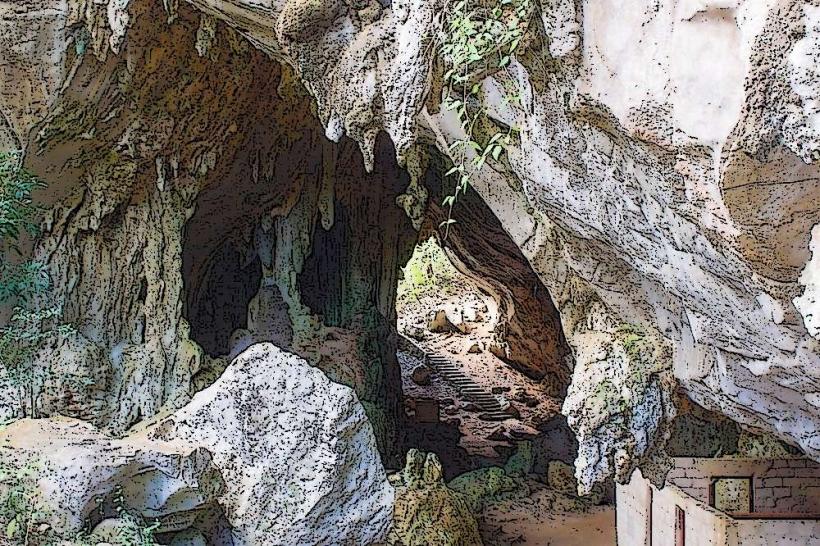
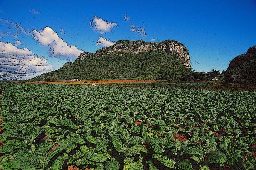
The landscape is characterized by karst topography, featuring mogotes (limestone hills) with steep, often vertical sides. Vegetation is dense, primarily evergreen broadleaf forest, with areas of pine forest at higher elevations. Rivers and streams carve through the terrain, creating valleys and ravines. The elevation ranges from approximately 100 meters to over 700 meters above sea level.
Location & Access Logistics
The reserve is situated approximately 80 kilometers west of Havana and 40 kilometers southeast of Pinar del Rio city. Access is primarily via the Carretera Central (Cuba's main highway) and then branching onto provincial roads. The main access point is near the town of Soroa. Limited parking is available at designated trailheads and visitor centers. Public transport options are infrequent; bus services may reach nearby towns, requiring onward travel by taxi or pre-arranged transport.
Historical & Ecological Origin
Ecologically, the Sierra del Rosario is classified as a humid subtropical forest ecosystem. Its geological origin is primarily karst, formed by the dissolution of soluble rocks like limestone over millions of years. Historically, the area has seen human settlement, including agricultural practices and the development of coffee plantations in the 18th and 19th centuries. The reserve was designated a UNESCO Biosphere Reserve in 1987.
Key Highlights & Activities
Hiking is a primary activity, with marked trails of varying difficulty. The Salto del Arco Iris waterfall is a notable feature accessible via a moderate hike. Birdwatching is significant due to the high biodiversity. Photography opportunities exist for the karst formations and forest canopy. Educational visits to research stations are sometimes possible by arrangement.
Infrastructure & Amenities
Basic infrastructure includes marked hiking trails and some interpretive signage. Restrooms are available at the main visitor center near Soroa. Shade is abundant within the forest canopy. Cell phone signal is intermittent and generally unreliable within the core reserve areas. Food vendors are not typically found within the reserve itself, but options exist in nearby towns like Soroa.
Best Time to Visit
The best months for visiting are generally from November to April, during the dry season, when rainfall is lower and temperatures are moderate. The best time of day for photography is early morning or late afternoon for softer light and potential mist in the valleys. No specific tide requirements apply.
Facts & Legends
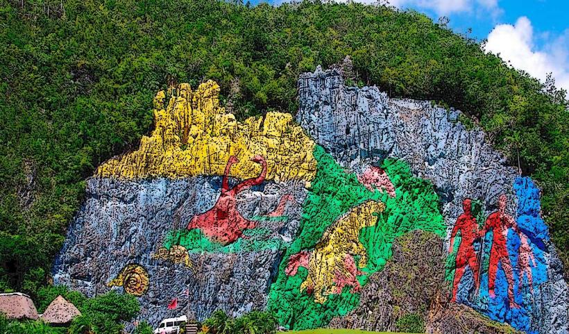
A unique aspect of the Sierra del Rosario is the presence of the ruins of 19th-century coffee plantations, such as El Cafetal La Aurora, which offer a glimpse into the region's agricultural past. Local folklore sometimes speaks of spirits inhabiting the dense forests, though these are not widely documented.
Nearby Landmarks
- Soroa Orchid Botanical Garden (0.8km North)
- Castillo de las Nubes (2.1km West)
- Viñales Valley National Park (45km West)
- Cayo Levisa (50km Northwest)