Landmark: Reventazón River
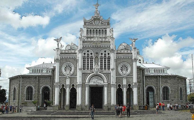
City: Cartago
Country: Costa Rica
Continent: North America
Reventazón River, Cartago, Costa Rica, North America
The Reventazón River is a significant river in Costa Rica, originating in the Talamanca mountain range and flowing through the province of Cartago.
It is the longest river in Costa Rica, extending approximately 145 kilometers.
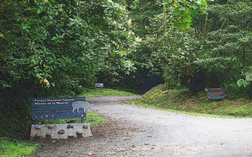
Visual Characteristics
The river's water color varies from a muddy brown to a clearer green depending on rainfall and sediment load. Its width ranges from 20 to 100 meters in its upper and middle courses. The riverbanks are characterized by dense tropical vegetation, including broadleaf trees and various ferns. In its lower sections, the river widens and its flow can become more turbulent, especially during the rainy season.
Location & Access Logistics
The Reventazón River flows through the province of Cartago, with its headwaters in the Talamanca Mountains. Access points are numerous along its course. From Cartago city center, Route 2 (Carretera Interamericana Sur) runs parallel to sections of the river. Specific access points can be reached via local roads branching off Route 2, such as the road towards Pacayas. Parking is generally available at designated pull-offs or small community areas near the river. Public transport options are limited for direct river access; local buses may travel along Route 2, requiring further walking to reach the riverbanks.
Historical & Ecological Origin
The Reventazón River's geological origin is tied to the uplift of the Talamanca mountain range. Ecologically, it is classified as a tropical river system, supporting a diverse range of flora and fauna adapted to its flow and riparian environment. Historically, the river has been crucial for agriculture and hydroelectric power generation in the region.
Key Highlights & Activities
White-water rafting is a primary activity on specific sections of the Reventazón River, particularly between Turrialba and the Siquirres area. Kayaking is also possible. Fishing can be done in calmer sections. Birdwatching along the riverbanks is a common activity due to the diverse avian population. Hiking trails exist in areas adjacent to the river, offering views of the water and surrounding landscape.
Infrastructure & Amenities
Restrooms are available at some rafting outfitters' bases and in towns along the river, such as Turrialba. Shade is provided by the natural tree canopy along the riverbanks. Cell phone signal (4G/5G) is generally available in populated areas near the river but can be intermittent in more remote stretches. Food vendors are typically found in towns like Turrialba and Siquirres, not directly at most river access points.
Best Time to Visit
The best time for white-water rafting is during the dry season, from December to April, when water levels are more predictable. For general sightseeing and hiking, the shoulder months of May and November can offer pleasant weather with fewer crowds. The river's appearance can be significantly altered by heavy rainfall, making it more turbid and potentially dangerous during the peak of the rainy season (June to October).
Facts & Legends
The Reventazón River is a primary source of hydroelectric power for Costa Rica, with several dams located along its course, including the Cachí Dam and the Angostura Dam. A local legend speaks of a water spirit that guards the deepest pools of the river, said to bring good fortune to those who respect its domain.
Nearby Landmarks
- Turrialba Volcano National Park (5km Northwest)
- Cachí Dam (3km Southwest)
- Orosi Valley (7km Southwest)
- Guayabo National Monument (15km East)
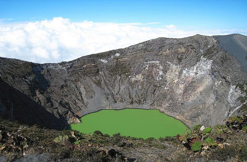
- Irazú Volcano National Park (20km West)