Landmark: Turrialba Volcano National Park
City: Cartago
Country: Costa Rica
Continent: North America
Turrialba Volcano National Park, Cartago, Costa Rica, North America
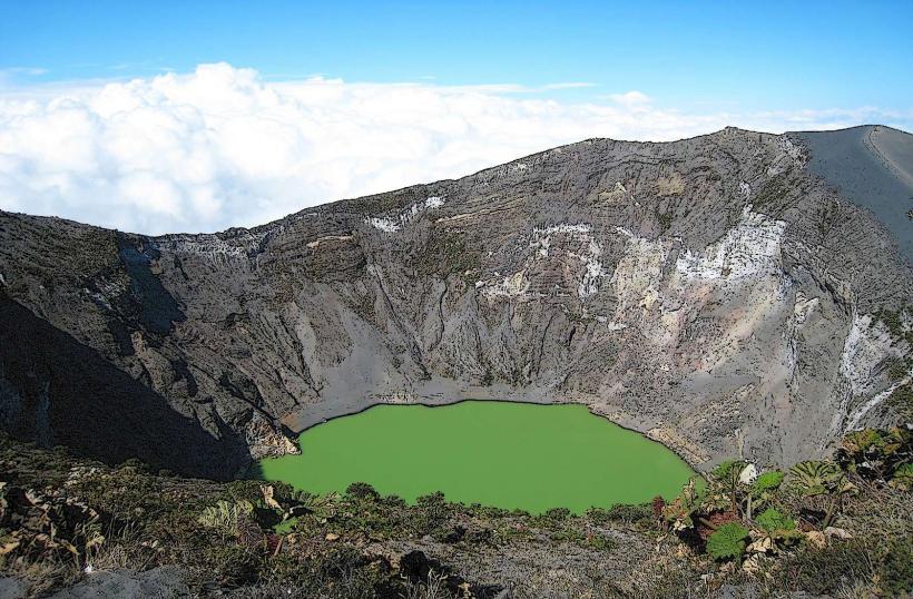
Turrialba Volcano National Park is an active stratovolcano located in the Talamanca mountain range of Costa Rica. It is situated within the Turrialba canton of the Cartago Province.
Visual Characteristics
The volcano features two prominent peaks, with the western peak being the higher of the two. The summit crater is approximately 500 meters in diameter and 150 meters deep. The slopes are covered in dense cloud forest vegetation, transitioning to páramo at higher elevations. Volcanic ash deposits are visible in certain areas.
Location & Access Logistics
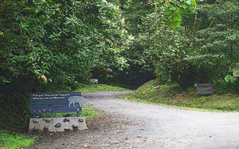
The park entrance is approximately 30 kilometers east of the city of Cartago. Access is via Route 230, a paved road that leads directly to the park entrance and parking area. Public transport options are limited; a bus service operates from Cartago to Turrialba town, from which local taxis or pre-arranged transport are required to reach the park. Parking is available at the main entrance.
Historical & Ecological Origin
Turrialba Volcano is a stratovolcano formed by repeated eruptions of lava and pyroclastic material over thousands of years. Its current active phase began in the mid-19th century, with significant eruptions recorded in 1866, 1920, and more recently in 2016 and 2017. The surrounding ecosystem is classified as a tropical cloud forest, characterized by high humidity and diverse flora and fauna.
Key Highlights & Activities
Hiking trails are available, including a trail to the summit crater (access dependent on volcanic activity). Observation points offer views of the crater and surrounding landscape. Birdwatching is a primary activity due to the rich avian biodiversity. Photography of volcanic features and forest scenery is possible.
Infrastructure & Amenities
Restrooms are available at the park entrance. Limited shade is provided by forest canopy along trails. Cell phone signal (4G/5G) is generally unreliable within the park boundaries. No food vendors are located within the park; visitors should bring their own provisions.
Best Time to Visit
The dry season, from December to April, offers clearer skies and less rainfall. Mornings typically provide better visibility of the crater before cloud cover develops. Volcanic activity levels dictate safe access to certain areas; check park advisories before visiting.
Facts & Legends
Local indigenous legends associate the volcano with powerful spirits. A specific historical oddity is the discovery of pre-Columbian artifacts in caves on the volcano's slopes, suggesting ancient human habitation or ceremonial use.
Nearby Landmarks
- Irazú Volcano National Park (15km Northwest)
- Guayabo National Monument (25km East)
- Orosi Valley (20km Southwest)
- La Paz Waterfall Gardens (40km West)
- Cartago City Center (30km West)