Landmark: Río Uruguay
City: Salto
Country: Uruguay
Continent: South America
Río Uruguay, Salto, Uruguay, South America
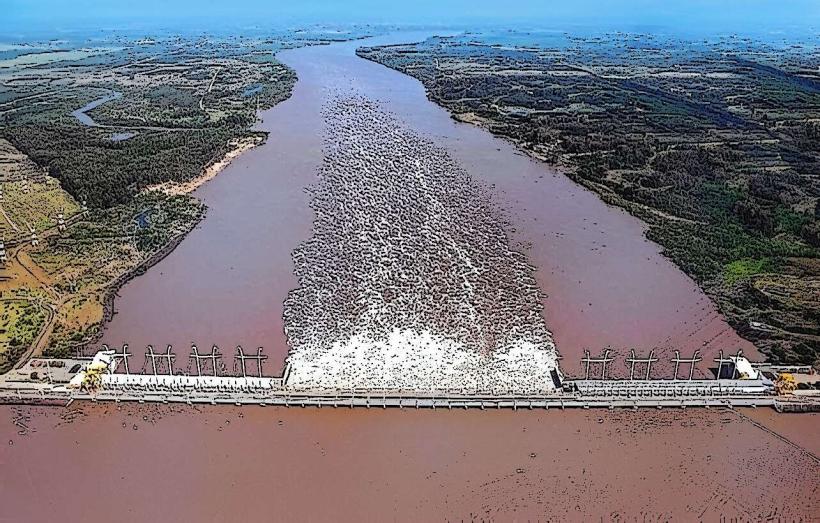
The Río Uruguay is a major river forming part of the border between Uruguay and Argentina. In the context of Salto, Uruguay, it refers to the section of the river adjacent to the city.
Visual Characteristics
The river's width varies, averaging approximately 1.5 kilometers in the Salto area. Water color ranges from a muddy brown to a greenish hue depending on sediment load and rainfall. The riverbanks are characterized by a mix of exposed rock formations, sandy deposits, and areas of dense riparian vegetation, primarily trees and shrubs adapted to flood cycles.
Location & Access Logistics
The Río Uruguay is accessible directly from the city of Salto. The main access points are via the Rambla Costanera, a riverside promenade. Several public parks and designated viewpoints along the Rambla offer direct access to the riverfront. Parking is available along the Rambla Costanera and in adjacent city streets. Public transport routes, including city buses numbered 1, 2, and 5, run along the Rambla, providing access from the city center. The distance from Salto's central plaza (Plaza Artigas) to the Rambla Costanera is approximately 2 kilometers.
Historical & Ecological Origin
The Río Uruguay is a fluvial system formed by the confluence of several smaller rivers in southern Brazil. Its geological origin is tied to the erosion and sediment transport processes of the South American continent over millennia. Ecologically, it is a vital freshwater ecosystem supporting diverse aquatic life and serving as a critical migratory corridor for fish species.
Key Highlights & Activities
Activities include walking or cycling along the Rambla Costanera, observing river traffic, and fishing from designated bank areas. Boat tours are available from private operators departing from the Salto port. Birdwatching is possible along the riverbanks, particularly during dawn and dusk.
Infrastructure & Amenities
Restrooms are available at public parks along the Rambla Costanera. Shade is provided by trees in park areas and some covered seating structures. Cell phone signal (4G/5G) is generally strong along the Rambla. Food vendors and small cafes are present at intervals along the Rambla Costanera, particularly near the main port area.
Best Time to Visit
For photography, early morning and late afternoon offer optimal lighting conditions due to the angle of the sun. The best months for pleasant weather are typically from September to April, with average temperatures ranging from 15°C to 30°C. High tide can affect the visibility of some bank areas, but generally does not impede access to the main viewing points.
Facts & Legends
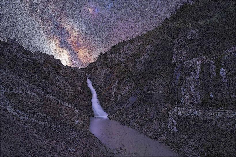
A local legend speaks of the "Luz Mala" (Bad Light), a phosphorescent phenomenon sometimes seen over the river at night, attributed by some to spirits of drowned sailors. Historically, the river served as a primary transportation route for early settlers and played a significant role in regional trade.
Nearby Landmarks
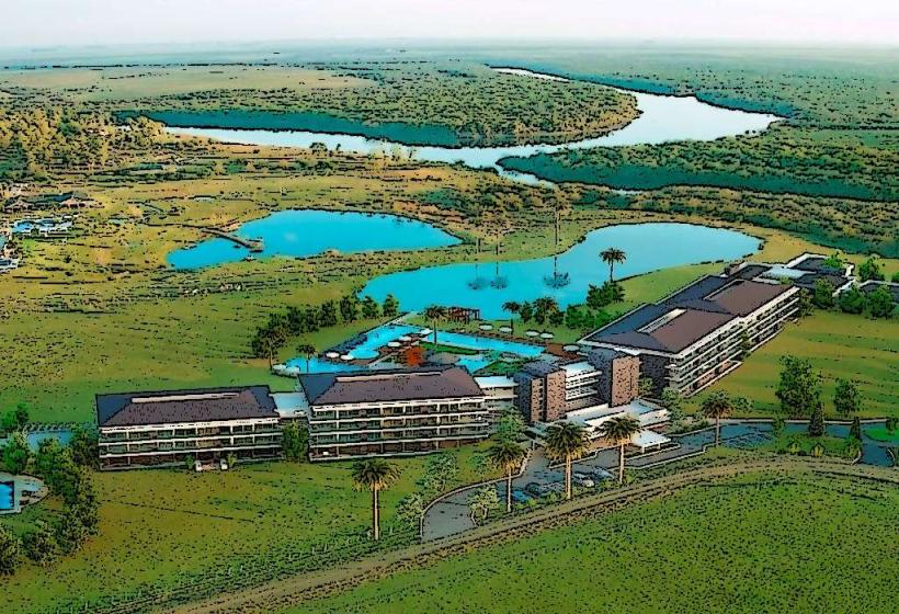
- Salto Grande Dam (5km Northwest)
- Parque del Lago (Salto Grande Reservoir) (6km Northwest)
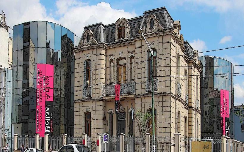
- Museo del Hombre y la Cultura (1.5km West)
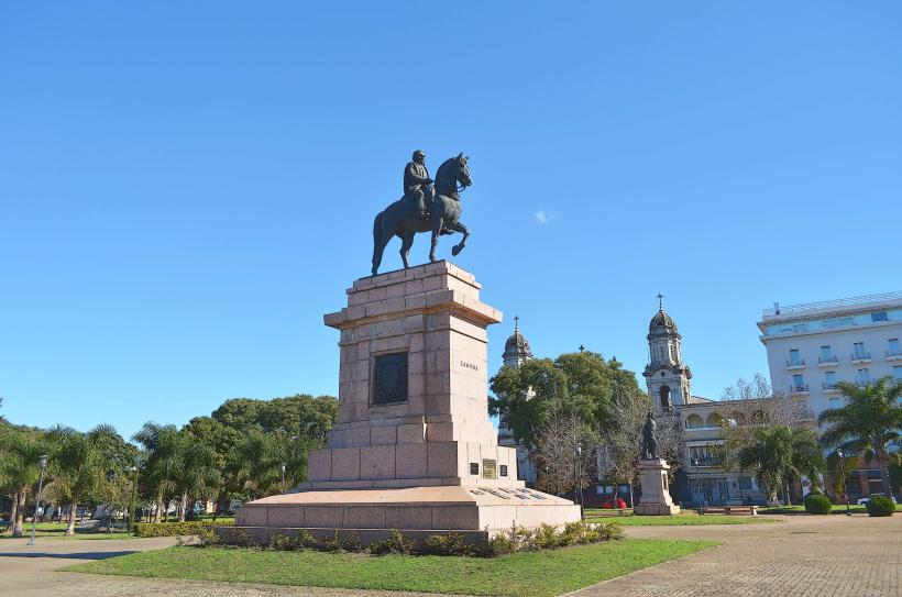
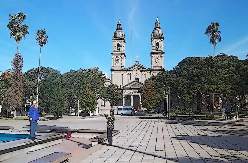
- Catedral de San Juan Bautista (2km West)
- Termas del Daymán (10km North)