Information
Landmark: Šabac Fortress (Šabac)City: Belgrade
Country: Serbia
Continent: Europe
Šabac Fortress (Šabac), Belgrade, Serbia, Europe
Visual Characteristics
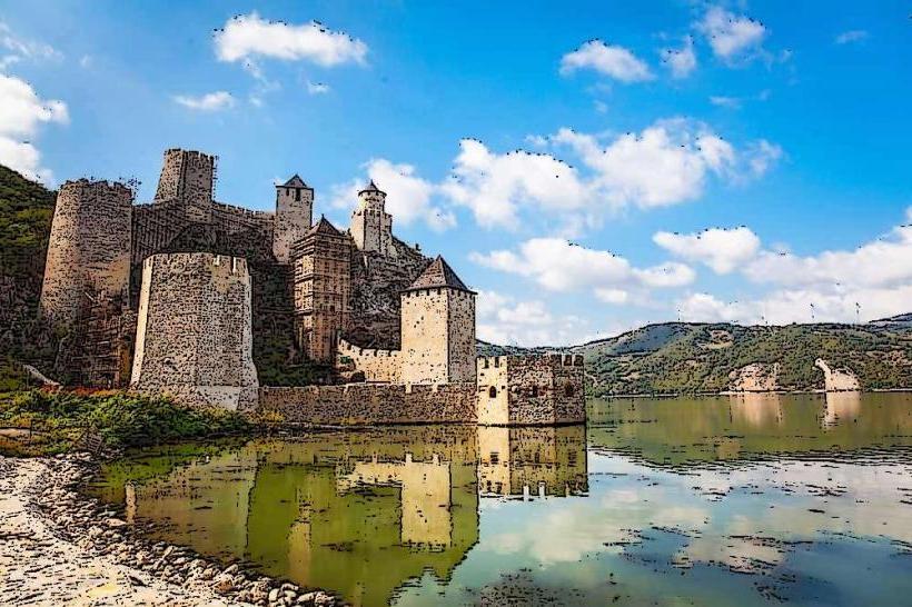
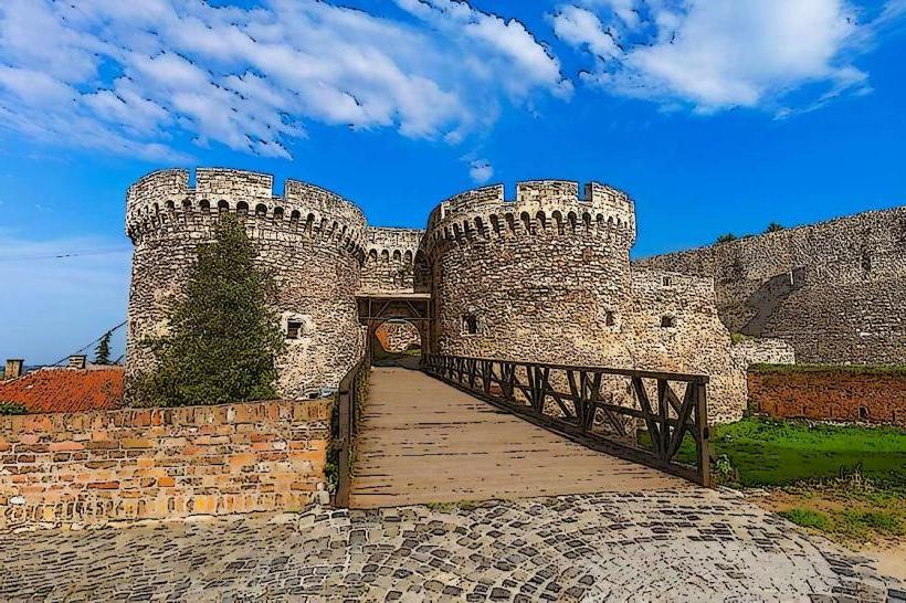
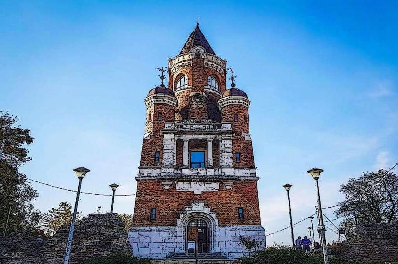
The fortress consists primarily of stone and brick remnants, forming a triangular layout with three circular towers at its corners. The walls, constructed from river stone and mortar, reach varying heights, with some sections standing up to 10 meters. The architectural style reflects Ottoman military engineering, characterized by robust defensive walls and strategic placement along the river. The current state is largely ruinous, with significant portions of the original structure having deteriorated over centuries.
Location & Access Logistics
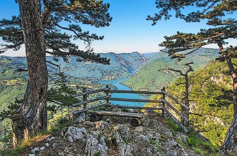
The fortress is located on the northern edge of the city of Šabac, directly adjacent to the Sava River. From the city center of Šabac, it is approximately 1.5 kilometers north, accessible via Ulica Masarikova and then local roads leading to the riverfront. For visitors arriving from Belgrade, Šabac is approximately 85 kilometers west, reachable via the E70/A3 highway towards Ruma, then connecting to regional road 26. Limited free parking is available near the fortress entrance along the river promenade. Local public transport in Šabac includes bus lines that stop within 500 meters of the site, specifically routes serving the northern parts of the city.
Historical & Ecological Origin
The Šabac Fortress was constructed by the Ottoman Empire in 1471, under the command of Sultan Mehmed II. Its original purpose was to establish a strategic outpost for controlling the Sava River and facilitating further Ottoman expansion into Hungary. The fortress was built on a flat plain, utilizing the natural barrier of the river for defense. It was known by the Ottomans as Bigir Delen, meaning "pierced fortress," due to its vulnerability to cannon fire from the opposite bank.
Key Highlights & Activities
Visitors can walk along the remaining sections of the fortress walls, offering views of the Sava River and the surrounding landscape. Photography of the historical ruins and river scenery is a primary activity. The open grounds within the fortress perimeter are suitable for leisurely exploration. Information panels detailing the fortress's history are present at key points.
Infrastructure & Amenities
Basic amenities are available near the fortress. Public restrooms are located approximately 300 meters south, near the Sava River promenade. Limited natural shade is provided by scattered trees within and around the ruins. Cell phone signal (4G/5G) is generally strong throughout the area. Several small cafes and food vendors are situated along the river promenade, within a 5-minute walk from the fortress entrance.
Best Time to Visit
The best time to visit is during the spring (April-May) and autumn (September-October) months, when temperatures are moderate and precipitation is lower. For photography, early morning (sunrise) or late afternoon (sunset) provides optimal natural lighting, highlighting the texture of the stone ruins and the river reflections. The fortress is accessible year-round, but summer months can be hot, and winter months cold and potentially snowy.
Facts & Legends
A local legend suggests that the fortress was built in an impossibly short time, with its stones brought by a human chain stretching from distant quarries. Historically, the fortress changed hands numerous times between the Ottomans, Hungarians, and Austrians, earning it the nickname "the key to Hungary" due to its strategic importance. A verified historical oddity is that the fortress was largely destroyed and rebuilt multiple times, with its current form reflecting various periods of reconstruction rather than a single original design.
Nearby Landmarks
- Šabac National Museum: 1.2km South
- Šabac City Park: 1.0km South-East
- Church of Saints Peter and Paul: 1.5km South
- Sava River Promenade: 0.1km West (adjacent)
- Jevremovac Historical District: 1.8km South-West