Landmark: Salt River Canyon
City: Globe
Country: USA Arizona
Continent: North America
Salt River Canyon, Globe, USA Arizona, North America
Salt River Canyon is a geological feature located in Gila County, Arizona, approximately 50 miles east of Globe.
Visual Characteristics
The canyon walls are composed of layered sedimentary rock, primarily sandstone and shale, exhibiting hues of red, orange, and brown. The Salt River flows through the canyon floor, its color varying from clear to muddy brown depending on recent rainfall and sediment load. Vegetation is sparse, consisting mainly of drought-tolerant desert flora such as saguaro cacti, creosote bush, and various types of scrub.
Location & Access Logistics
Access to Salt River Canyon is via U.S. Route 60. The canyon is situated directly along this highway. The nearest major city is Globe, Arizona, approximately 50 miles to the southwest. Parking is available at designated pull-offs and overlooks along U.S. Route 60. There are no public transport options directly serving the canyon.
Historical & Ecological Origin
Salt River Canyon was formed by the erosive action of the Salt River over millions of years, carving through the uplifted Colorado Plateau. The geological strata visible in the canyon walls date back to the Paleozoic and Mesozoic eras. Ecologically, it is part of the Sonoran Desert, characterized by arid conditions and specialized plant and animal life adapted to extreme temperatures and low water availability.
Key Highlights & Activities
Activities include scenic driving along U.S. Route 60 with multiple overlooks for viewing the canyon. Hiking is possible on informal trails along the canyon rim and down to the river in certain accessible areas. Fishing in the Salt River is permitted with a valid Arizona fishing license. The canyon is also a location for off-road vehicle use on designated routes outside the immediate canyon area.
Infrastructure & Amenities
Restroom facilities are limited to a few designated rest areas along U.S. Route 60. Shade is minimal, primarily found under rock overhangs or in the limited tree cover near the river. Cell phone signal is intermittent and unreliable within the canyon. Food vendors are not present within the canyon; visitors should bring their own supplies.
Best Time to Visit
The best time of day for photography is during the early morning or late afternoon when the sunlight creates shadows and highlights the rock formations. The most favorable months for visiting are from October through April, avoiding the extreme summer heat. The river's condition can fluctuate significantly with rainfall, impacting accessibility and water clarity.
Facts & Legends
The Salt River is known for its unpredictable flash floods, which can rapidly alter river levels and make canyon access dangerous. Local lore speaks of prospectors who searched for gold in the canyon during the late 19th century, though significant deposits were never confirmed.
Nearby Landmarks
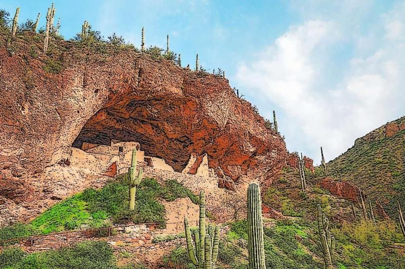
- Tonto National Monument (35km Northwest)
- Apache Lake (40km West)
- Roosevelt Lake (55km West)
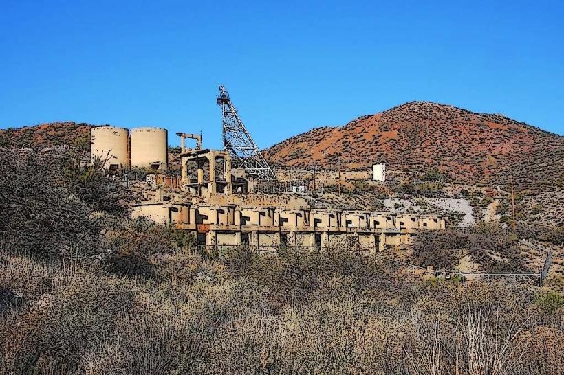
- Miami, Arizona (45km Southwest)
- Superior, Arizona (60km Southwest)