Landmark: Tonto National Forest
City: Globe
Country: USA Arizona
Continent: North America
Tonto National Forest, Globe, USA Arizona, North America
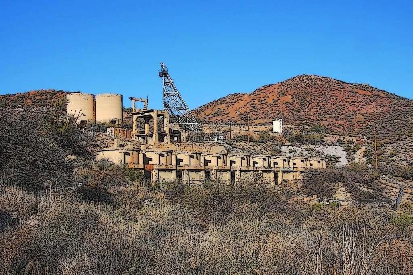
Tonto National Forest is a protected federal land area located in central Arizona, USA. It is the largest National Forest in Arizona, encompassing diverse ecosystems and geological features.
Visual Characteristics
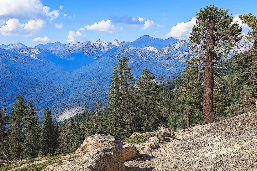
The forest exhibits varied topography, including rugged mountains, deep canyons, and desert scrubland. Elevations range from approximately 2,000 feet to over 7,000 feet. Vegetation includes saguaro cacti, palo verde trees, mesquite, and various desert wildflowers. The Salt River and its tributaries carve through the landscape, creating riparian zones with cottonwood and willow trees. Rock formations are predominantly sedimentary and volcanic, with exposed strata visible in canyon walls.
Location & Access Logistics
Tonto National Forest is situated northeast of Phoenix, Arizona. Access points vary depending on the specific area within the forest. Major access routes include State Route 87 (Beeline Highway) and State Route 188. From Globe, Arizona, access to the southern portions of the forest can be achieved via State Route 77 North, connecting to SR 188. Parking is available at designated trailheads and recreation sites. Public transport options are limited within the forest itself; visitors typically require personal vehicles.
Historical & Ecological Origin
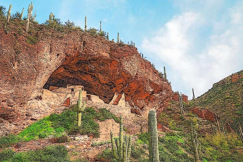
The Tonto National Forest was established on July 1, 1905. Its ecological origin is a product of arid and semi-arid climate conditions, with geological formations resulting from volcanic activity and erosion over millions of years. The Salt River system is a primary driver of the region's hydrology and riparian ecology. Prehistoric human habitation is evidenced by numerous archaeological sites, including cliff dwellings and petroglyphs.
Key Highlights & Activities
Activities include hiking on designated trails such as the Pinal Peak Trail or the Four Peaks Wilderness trails. Boating and fishing are available on Roosevelt Lake, Apache Lake, Canyon Lake, and Saguaro Lake. Rock climbing is possible in designated areas. Wildlife viewing opportunities exist for desert bighorn sheep, mule deer, and various bird species. Camping is permitted at developed campgrounds and in dispersed areas where regulations allow.
Infrastructure & Amenities
Developed recreation sites offer restrooms, picnic tables, and fire rings. Cell phone signal is intermittent and generally unavailable in remote areas. Food vendors are typically located near the larger lakes and developed recreation areas, but not throughout the forest. Shade is provided by natural vegetation and some developed picnic shelters.
Best Time to Visit
The best time for hiking and outdoor activities is during the cooler months, from October through April. Summer months (May to September) can experience extreme heat, with daytime temperatures frequently exceeding 100°F (38°C). For lake activities, the spring and fall offer pleasant temperatures. There are no specific tide requirements as the forest is landlocked.
Facts & Legends
The Tonto National Monument, located within the forest, preserves well-preserved Salado cliff dwellings, including the Upper and Lower Ruin. A local legend speaks of the "Four Peaks" being petrified giants, guardians of the land.
Nearby Landmarks
- Tonto National Monument (15km Northwest)
- Roosevelt Lake (20km Northeast)
- Superstition Mountains (30km Southwest)
- Apache Trail (40km West)
- Salt River Canyon (50km East)