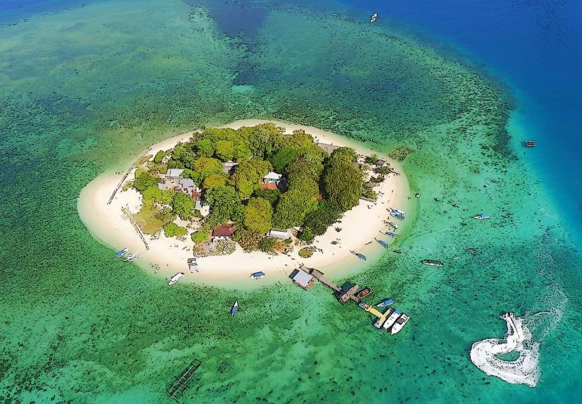
Landmark: Samalona Island
City: Makassar
Country: Indonesia
Continent: Asia
Samalona Island, Makassar, Indonesia, Asia
Samalona Island is a small island located approximately 2 kilometers offshore from the city of Makassar, South Sulawesi, Indonesia.
It is a coral island characterized by white sandy beaches and clear turquoise waters.
Visual Characteristics
The island features a narrow strip of white sand beach encircling a central area of coconut palms and low-lying vegetation. The surrounding waters are shallow and exhibit a gradient of blue and green hues. The island's highest point is approximately 5 meters above sea level.
Location & Access Logistics
Samalona Island is accessible via boat from the Paotere Harbor in Makassar. Travel time by public boat (motorized canoe) is approximately 30-45 minutes, depending on sea conditions. Private boat charters are also available. There is no dedicated parking at the island; boats dock directly on the beach. Public transport to Paotere Harbor can be achieved via local Angkot (minibus) routes, though specific route numbers vary.
Historical & Ecological Origin
Samalona Island is a natural coral island, formed over millennia by the accumulation of coral skeletons. Its ecological classification is a small fringing reef island. Historically, it has served as a fishing outpost and a point of interest for local mariners.
Key Highlights & Activities
Snorkeling and diving are primary activities, with coral reefs visible from the shore. Swimming is possible in the shallow, clear waters. Visitors can walk the perimeter of the island. Limited fishing is permitted in designated areas.
Infrastructure & Amenities
Basic amenities include a small number of simple food stalls selling local seafood and drinks. There are no permanent restroom facilities; temporary arrangements may be available. Shade is provided by coconut trees. Cell phone signal (4G) is generally available but can be intermittent.
Best Time to Visit
The best time for clear water visibility for snorkeling and diving is during the dry season, from April to October. The best time of day for photography is generally between 9:00 AM and 3:00 PM when sunlight is most direct. High tide is preferable for swimming closer to the vegetation line.
Facts & Legends
Local lore suggests that the island's name, Samalona, originates from a mythical sea creature said to inhabit the surrounding waters. A verified historical fact is that the island was used as a strategic observation point during various periods of regional conflict.
Nearby Landmarks
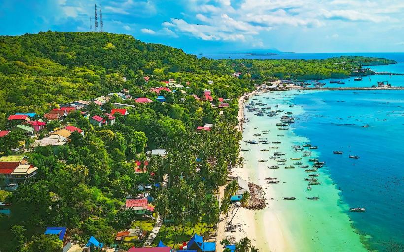
- Kodingareng Island (1.5km West)
- Kayangan Island (2.0km Southwest)
- Paotere Harbor (2.0km East)
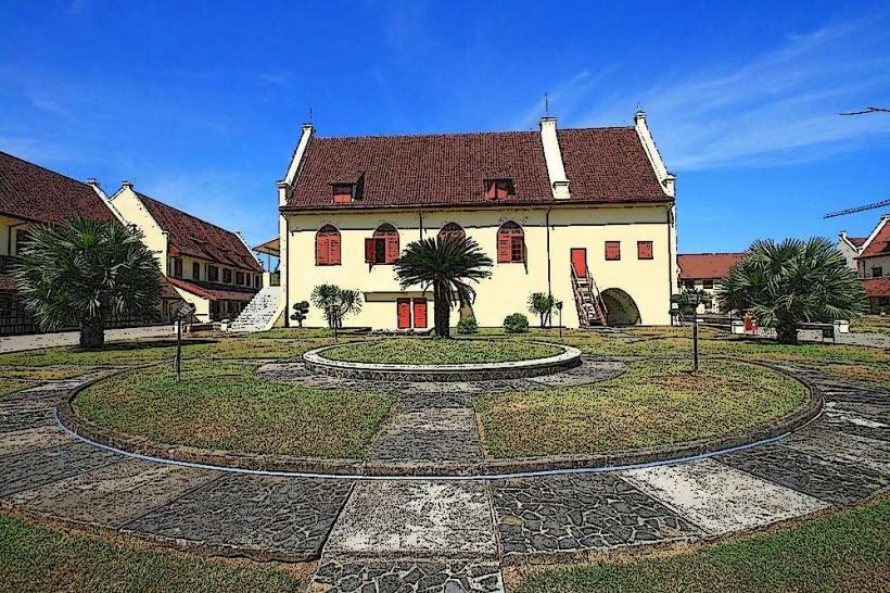
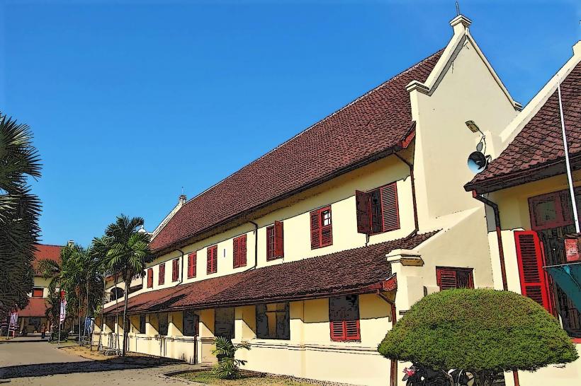
- Fort Rotterdam (4.5km Southeast)