Landmark: Sannine Mountain Peaks
City: Baskinta
Country: Lebanon
Continent: Asia
Sannine Mountain Peaks, Baskinta, Lebanon, Asia
The Sannine Mountain Peaks, collectively forming Mount Sannine (Jabal Sannine), comprise a major glaciated mountain massif within the Mount Lebanon range. Reaching a maximum elevation of 2,628 meters above sea level, this prominent limestone ridge stands as a defining geographical feature of central Lebanon, dividing the coastal maritime slopes from the interior Beqaa Valley plateau.
Visual Characteristics
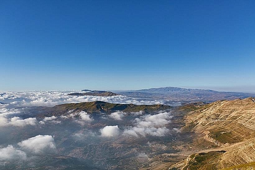
The Sannine Mountain Peaks present a stark, high-altitude landscape dominated by light-grey and beige Jurassic limestone. The upper elevations are entirely above the tree line, characterized by steep scree slopes, exposed cliffs, and extensive karst sinkholes. From late November through May, the massif is heavily covered in snow, forming a massive white wall visible from the coastal lowlands. The western face features deep, dramatic ravines carved by seasonal glacial melt, while the eastern slopes drop into the fertile Beqaa agricultural plain.
Location & Access Logistics
The ridge is situated approximately 50 kilometers northeast of Beirut. The primary overland approach is via the Antelias interchange on the coastal highway, ascending inland through Bikfaya and Baskinta to the high pastures of Qanat Bakish or the village of Sannine. The final ascent to the highest peaks requires a strenuous foot trek starting from trailheads near Baskinta or the upper ski resort tracks of Zaarour. No public transport operates above the mountain villages, necessitating private 4WD vehicles to reach base access tracks.
Historical & Ecological Origin
Geologically, Mount Sannine is a heavily glaciated karst mountain mass composed of porous limestone strata. The seasonal snow pack acts as an essential freshwater reservoir, filtering deep into underground aquifers that supply the major coastal rivers, including the Nahr el-Kalb and Nahr Ibrahim headwaters. Historically, the mountain served as a primary source of timber during ancient Phoenician, Roman, and Byzantine eras, and its high passes have historically functioned as strategic lookout points and trade conduits connecting the coast to inland Syria.
Key Highlights & Activities
Hiking the challenging technical tracks to the highest summit peak at 2,628 meters.
Exploring the high-altitude karst formations, sinkholes, and seasonal snow caves (Chir el-Zallouqa).
Ski touring and snowshoeing across the open alpine bowls during the winter and spring cycles.
Observing panoramic viewpoints from the summit crest that stretch across the Mediterranean Sea to Cyprus on exceptionally clear days.
Infrastructure & Amenities
The Sannine Mountain Peaks constitute an undeveloped alpine natural territory with zero formal park infrastructure. There are no visitor centers, public restrooms, managed trail checkpoints, or entry fees. No safety barriers are installed along the exposed vertical cliffs or steep drop-offs. Cellular network signal remains remarkably stable on open ridges, capturing strong 4G and localized 5G coverage from coastal base stations. Commercial food, water, and lodging amenities are entirely absent on the upper slopes, requiring hikers to carry all necessary alpine gear and provisions from the lower gateway towns of Baskinta and Faraya.
Best Time to Visit
The ideal months for mountain trekking and summit attempts are from June to October when the terrain is entirely free of snowpack and the weather remains stable. For winter sports, the optimal snow period runs from January to March. Mountaineering photography is most effective during the late afternoon hours between 17:00 and 19:00, when the setting sun projects deep orange and red hues across the western limestone cliffs, accentuating the dramatic relief of the deep mountain canyons.
Facts & Legends
The etymological origin of the name Sannine traces back to ancient Syriac and Canaanite roots, traditionally translated as "The Cold Peak" or "The Shining One," a direct reference to its highly reflective snow cover. Local mountaineering lore often details the historic Zallouqa races, where traditional mountain villagers climbed the steep snow slopes using basic woolen footwear and specialized wooden poles to extract ice blocks, which were then transported via donkey caravans down to coastal markets before the invention of mechanical refrigeration.
Nearby Landmarks
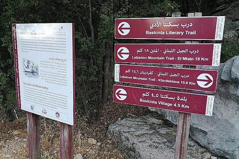
Baskinta Literary Trail (Shakhroub): 3.5km West
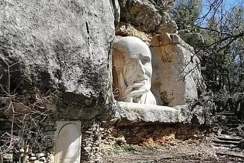
Mikhail Naimy Tomb: 3.5km West
Zaarour Ski Resort: 7.5km South
Faqra Roman Ruins: 9.5km Northwest