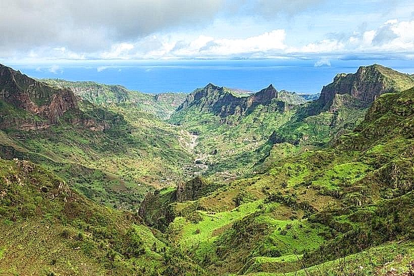
Landmark: Santa Cruz Valley
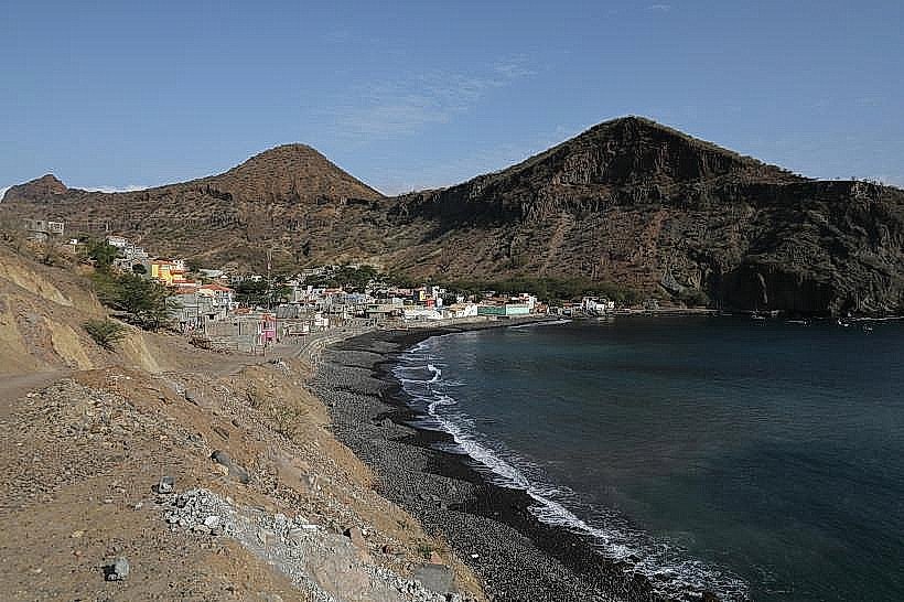
City: Calheta de Sao Miguel
Country: Cabo Verde
Continent: Africa
Santa Cruz Valley, Calheta de Sao Miguel, Cabo Verde, Africa
Santa Cruz Valley is a geographical depression located on the island of Santiago in Cabo Verde. It is situated inland from the municipality of Calheta de Sao Miguel.
Visual Characteristics
The valley is characterized by arid, eroded slopes with sparse vegetation, primarily consisting of drought-resistant shrubs and grasses. The soil exhibits reddish-brown hues. The valley floor is a mix of gravel and sand, with occasional rock outcroppings. The surrounding hills rise steeply, forming a distinct topographical boundary.
Location & Access Logistics
Santa Cruz Valley is approximately 15 kilometers inland from the coastal town of Calheta de Sao Miguel. Access is via the regional road EN1-ST01, which connects Calheta de Sao Miguel to the interior. The road is paved for the initial 10 kilometers, transitioning to a well-maintained dirt track for the remaining 5 kilometers. Parking is available at designated pull-offs along the dirt track. No public transport services operate directly within the valley.
Historical & Ecological Origin
The valley's formation is attributed to fluvial erosion over millennia, carving through the volcanic rock of Santiago Island. Ecologically, it represents a semi-arid savanna environment, adapted to low rainfall and high temperatures.
Key Highlights & Activities
Hiking is possible along the valley floor and the lower slopes of the surrounding hills. Observation of local flora and fauna adapted to arid conditions is a primary activity. Photography of the geological formations and landscape is recommended.
Infrastructure & Amenities
No permanent infrastructure or amenities are present within Santa Cruz Valley. Visitors should carry sufficient water and food. Cell phone signal is intermittent and unreliable.
Best Time to Visit
The best time for visiting is during the dry season, from November to May. Mid-morning (9:00 AM - 11:00 AM) and late afternoon (3:00 PM - 5:00 PM) offer optimal lighting conditions for photography, with lower sun angles reducing harsh shadows.
Facts & Legends
Local folklore suggests that during periods of extreme drought, the valley was believed to be a place where ancient spirits sought refuge. A specific geological feature, a large, solitary rock formation near the valley's center, is locally referred to as "The Sentinel."
Nearby Landmarks
- Pico da Antónia (10km Northwest)
- Tarrafal Bay (12km West)
- Assomada Market (18km Southwest)
- Cidade Velha (25km South)