Information
Landmark: Scenic DriveCity: El Paso
Country: USA Texas
Continent: North America
Scenic Drive, El Paso, USA Texas, North America
Scenic Drive is a public roadway located in El Paso, Texas, USA. It offers elevated viewpoints overlooking the city and surrounding desert landscape.
Visual Characteristics
The drive itself is an asphalt roadway. The surrounding terrain consists of Chihuahuan Desert vegetation, including creosote bush, yucca, and various cacti. Rock formations are visible on the slopes of the Franklin Mountains. The elevation provides panoramic views of El Paso, Ciudad Juárez, and the Rio Grande Valley.
Location & Access Logistics
Scenic Drive is accessed from El Paso city center. The primary access point is via Rim Road, which connects to El Paso's street grid. From downtown El Paso, take Interstate 10 East to Exit 22B (US-54 E/Patriot Freeway). Take Exit 22A towards Paisano Drive. Turn right onto Paisano Drive, then turn left onto Rim Road. The drive extends approximately 4.5 miles. Parking is available at designated pull-offs along the route. No public transport directly serves Scenic Drive.
Historical & Ecological Origin
Scenic Drive was constructed in the early 20th century, with significant development occurring in the 1930s as a Works Progress Administration (WPA) project. Its purpose was to provide recreational access and scenic overlooks of the burgeoning city and the Franklin Mountains State Park. Ecologically, the area is part of the Chihuahuan Desert, characterized by arid conditions and specialized plant and animal life adapted to low rainfall and high temperatures.
Key Highlights & Activities
Vehicular travel along the entire length of the drive. Stopping at designated overlooks for photography and observation. Short walks on adjacent unpaved trails are possible in some areas. Observing desert flora and fauna.
Infrastructure & Amenities
Restrooms are available at the main overlook near the western terminus. Shade structures are present at some primary viewing points. Cell phone signal (4G/5G) is generally available along the drive. No food vendors are located directly on Scenic Drive; visitors should plan to bring provisions or utilize services in El Paso.
Best Time to Visit
For photography, early morning (sunrise) and late afternoon (sunset) offer optimal lighting conditions with softer shadows. The best months for comfortable outdoor conditions are October through April, avoiding the extreme heat of summer. High tide or low tide is not applicable.
Facts & Legends
A local legend suggests that on clear nights, the lights of El Paso and Ciudad Juárez create an illusion of a vast, interconnected city, symbolizing the shared history and proximity of the two nations. A verified historical oddity is the presence of ancient petroglyphs found on rocks in the surrounding Franklin Mountains, predating modern settlement.
Nearby Landmarks
- Franklin Mountains State Park (0.1km North)
- El Paso Mission Trail (5km Southeast)
- El Paso Museum of Art (3km Southwest)
- San Jacinto Plaza (3.5km Southwest)
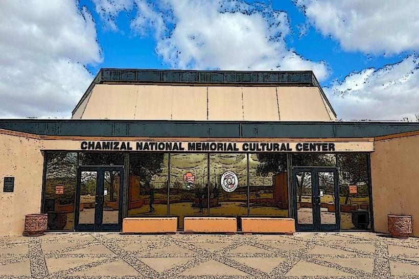
- Chamizal National Memorial (4km Southwest)