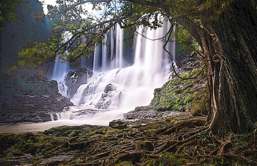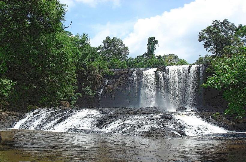
Landmark: Sen Monorom Waterfall
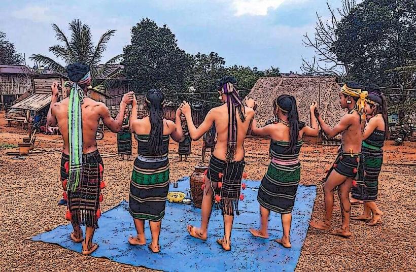
City: Mondulkiri
Country: Cambodia
Continent: Asia
Sen Monorom Waterfall, Mondulkiri, Cambodia, Asia
Sen Monorom Waterfall is a natural cascade located approximately 5 kilometers south of Sen Monorom town in Mondulkiri Province, Cambodia.
Visual Characteristics
The waterfall features a series of tiered rock formations over which water flows. The primary drop is approximately 10-15 meters in height. The surrounding vegetation is dense tropical forest, with a mix of deciduous and evergreen trees. The water color is typically brown or reddish-brown due to sediment, especially during the rainy season.
Location & Access Logistics
The waterfall is situated 5 kilometers south of Sen Monorom town. Access is via a dirt road, often referred to as the "Bou Sra Road" or a local equivalent. The road condition can vary significantly, becoming muddy and difficult to navigate during the wet season. A 4WD vehicle is recommended. Parking is available at the base of the waterfall, typically an open dirt area. Public transport directly to the waterfall is not available; local taxis or motorbike taxis from Sen Monorom town are the primary options.
Historical & Ecological Origin
Sen Monorom Waterfall is a natural geological formation, part of the regional karst topography. Its formation is attributed to the erosive power of water over sedimentary rock layers over millennia. The surrounding ecosystem is characteristic of the Mondulkiri highlands, supporting diverse flora and fauna.
Key Highlights & Activities
Visitors can observe the waterfall from its base. Swimming is possible in the pool at the bottom during drier periods when water flow is less intense. Short walks are available around the immediate vicinity of the falls. The area is suitable for photography, particularly in the morning and late afternoon.
Infrastructure & Amenities
Basic amenities are limited. There are no permanent restroom facilities. Shade is provided by the surrounding trees. Cell phone signal (2G/3G) is generally weak and intermittent. Small, informal food and drink vendors may be present during peak tourist times, but their availability is not guaranteed.
Best Time to Visit
The best time of day for photography is generally between 9:00 AM and 11:00 AM, or 3:00 PM and 5:00 PM, to avoid direct overhead sunlight. The dry season, from November to April, offers more stable road conditions and clearer water. During the rainy season (May to October), the waterfall's volume increases significantly, but access can be challenging.
Facts & Legends
Local folklore suggests that the waterfall is a sacred site, and offerings are sometimes left by villagers. A specific tip for visitors is to wear appropriate footwear, as the rocks can be slippery, especially near the water's edge.
Nearby Landmarks
- Bou Sra Waterfall (15km Northeast)
- Phnom Dos Kramom (3km West)
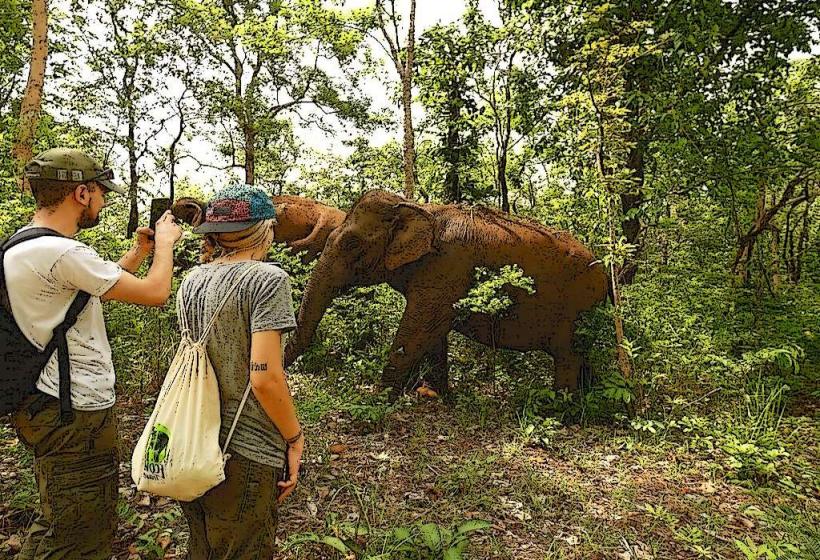
- Mondulkiri Elephant Valley Project (7km North)
- Sea Forest (4km Northwest)