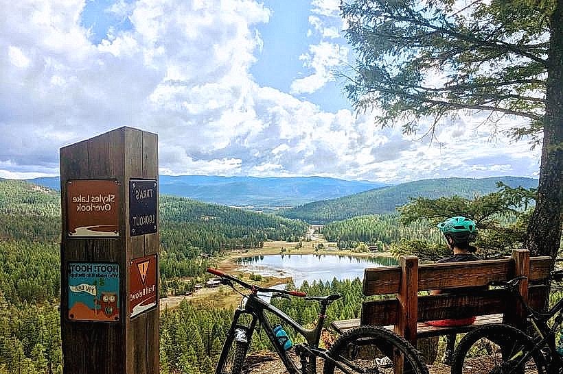
Landmark: Swift Creek Trail
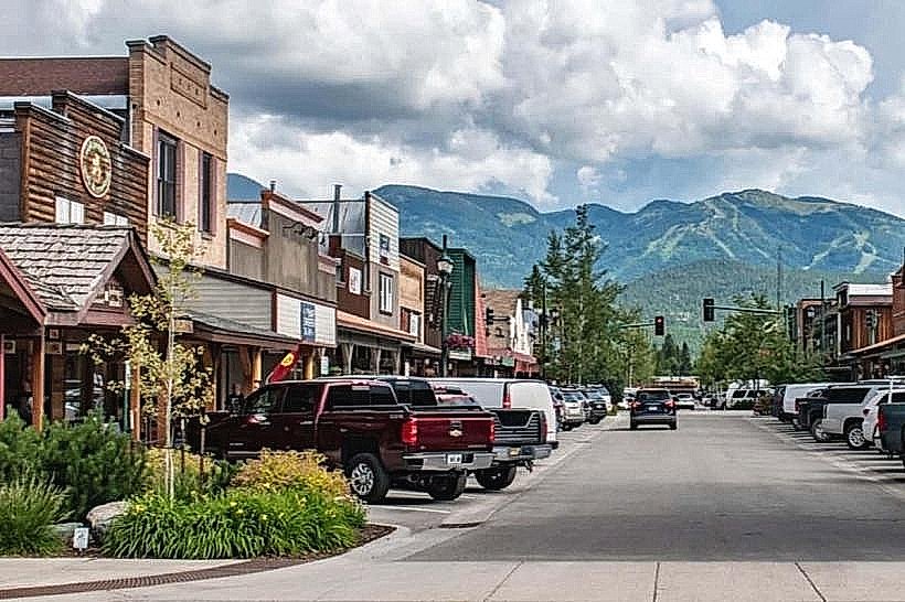
City: Whitefish
Country: USA Montana
Continent: North America
Swift Creek Trail, Whitefish, USA Montana, North America
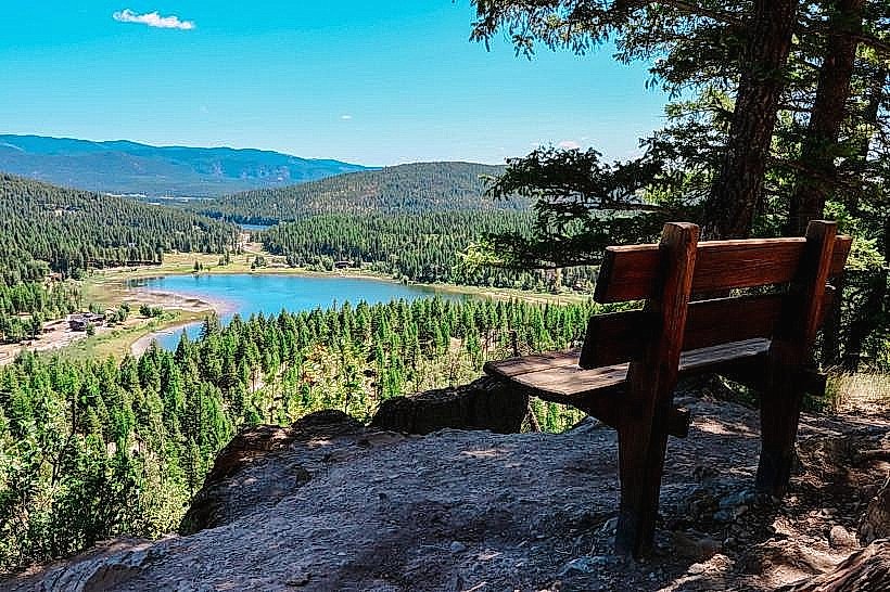
Swift Creek Trail is a hiking path located in Whitefish, Montana, USA. It provides access to a natural environment within proximity to the city.
Visual Characteristics
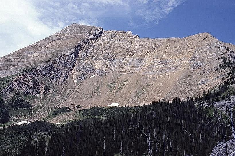
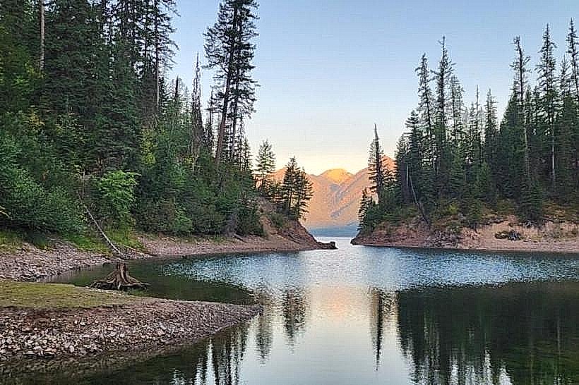
The trail traverses mixed coniferous forest, primarily composed of Douglas fir and Ponderosa pine. The path itself is unpaved, with a surface of packed earth and gravel. Elevation gain is gradual, with some steeper sections. The creek itself is a clear, fast-flowing mountain stream with a rocky bed.
Location & Access Logistics
The trailhead is situated approximately 5 kilometers (3.1 miles) north of Downtown Whitefish. Access is via East Lakeshore Drive, turning onto Swift Creek Road. Swift Creek Road is a gravel surface road for the final 1.5 kilometers to the trailhead. Parking is available in a designated gravel lot at the trailhead, with capacity for approximately 20 vehicles. No public transport services reach the trailhead directly.
Historical & Ecological Origin
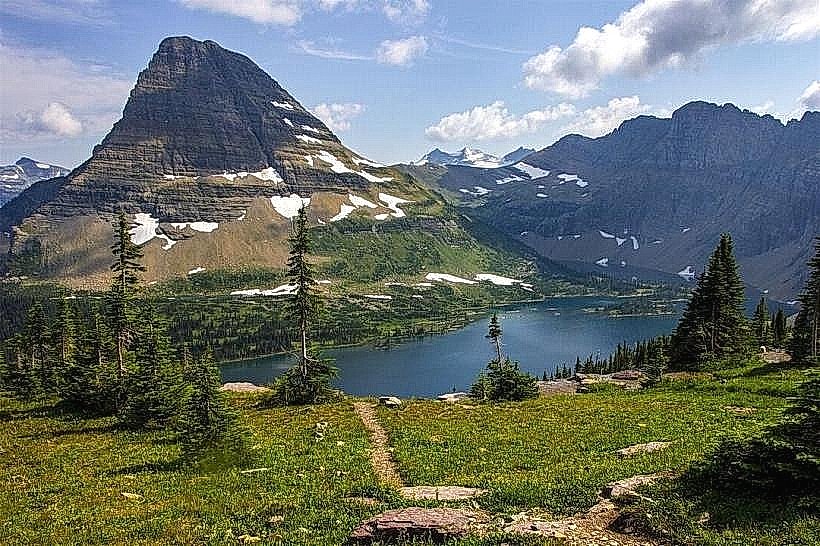
Swift Creek Trail follows the course of Swift Creek, a natural waterway formed by snowmelt and precipitation in the surrounding mountains. The area is part of the Northern Rocky Mountains ecoregion, characterized by montane forests and alpine influences. The trail's development is primarily for recreational access to the natural landscape.
Key Highlights & Activities
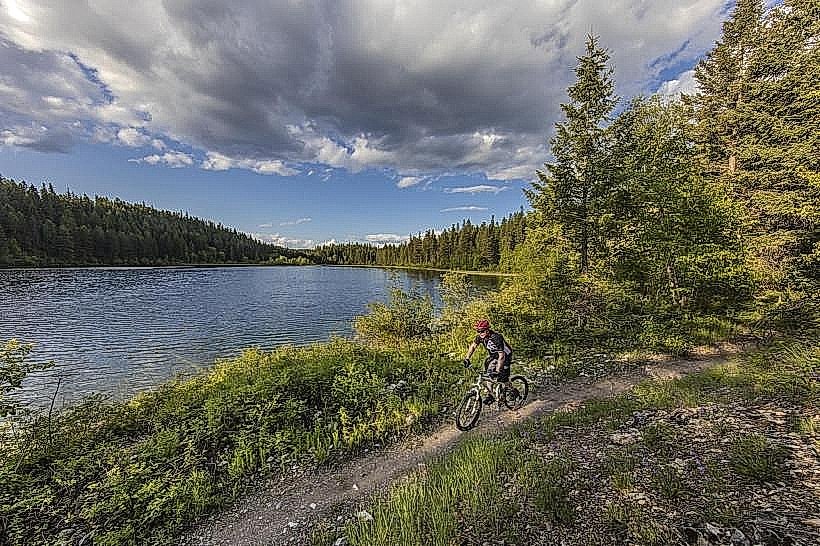
Hiking is the primary activity. The trail offers opportunities for observing local flora and fauna. The creek provides a point of interest for its flow and riparian environment. No specific designated areas for swimming or fishing are marked.
Infrastructure & Amenities
The trailhead features a small, unpaved parking area. No restrooms or potable water are available at the trailhead or along the trail. Cell phone signal is intermittent to non-existent along most of the trail. No food vendors are present at or near the trailhead.
Best Time to Visit
For optimal hiking conditions, the months of June through October are recommended, avoiding periods of heavy snowpack. Mid-morning (9:00 AM - 11:00 AM) offers good lighting for photography along the trail. The creek's flow is typically highest in late spring and early summer due to snowmelt.
Facts & Legends
Local accounts suggest the creek was historically used for small-scale logging operations in the late 19th century, though no physical remnants remain visible on the trail.
Nearby Landmarks
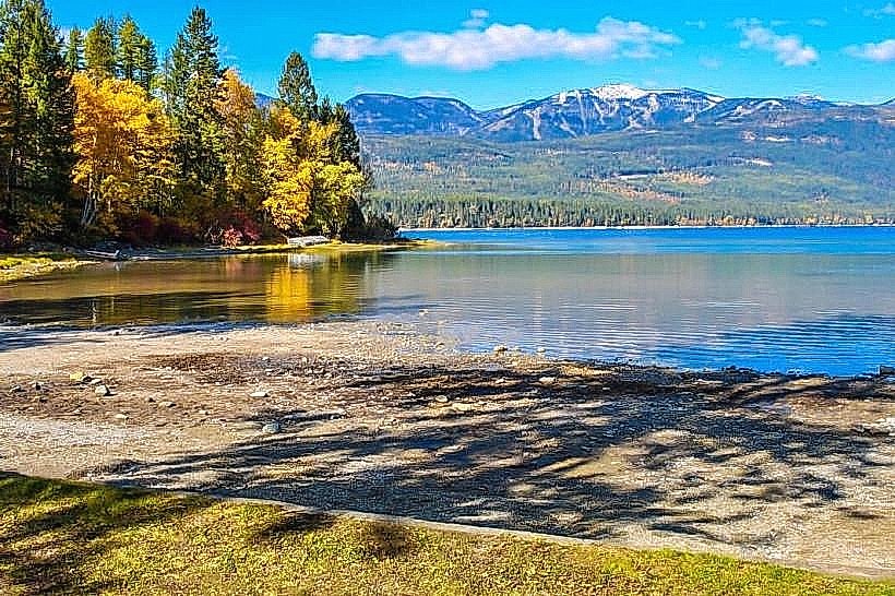
- Whitefish Lake State Park (2.5km South)
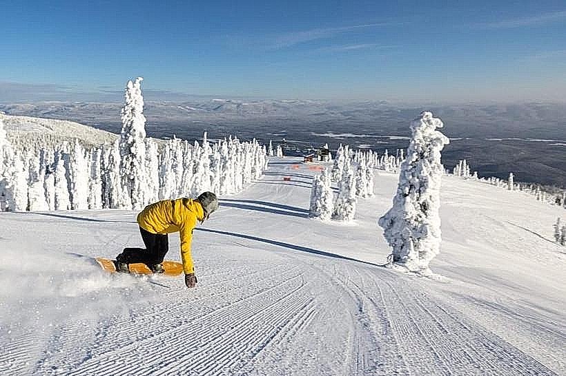
- Whitefish Mountain Resort (8km Northwest)
- Downtown Whitefish (5km South)
- Big Sky Waterpark (6km East)