Landmark: Whitefish Trail
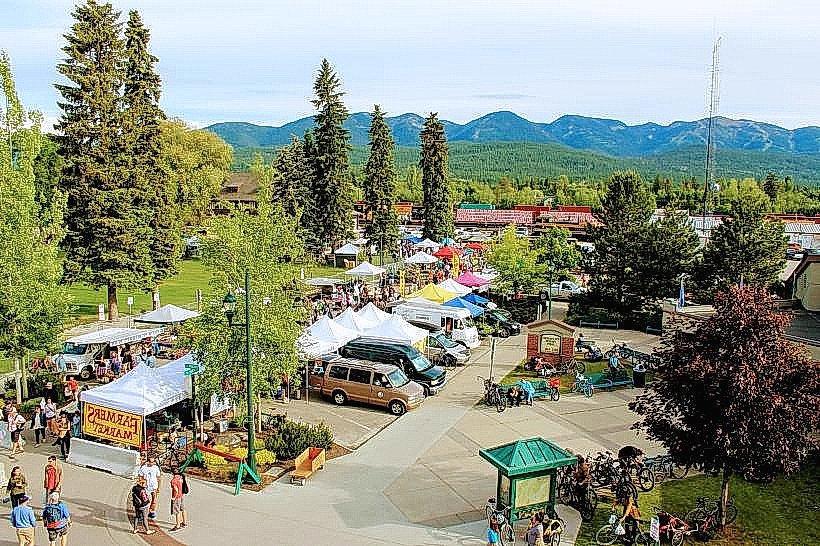
City: Whitefish
Country: USA Montana
Continent: North America
Whitefish Trail, Whitefish, USA Montana, North America
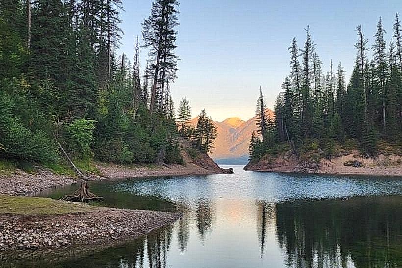
The Whitefish Trail is a network of multi-use paths located in Whitefish, Montana, USA. It provides access to the natural landscape surrounding the city.
Visual Characteristics
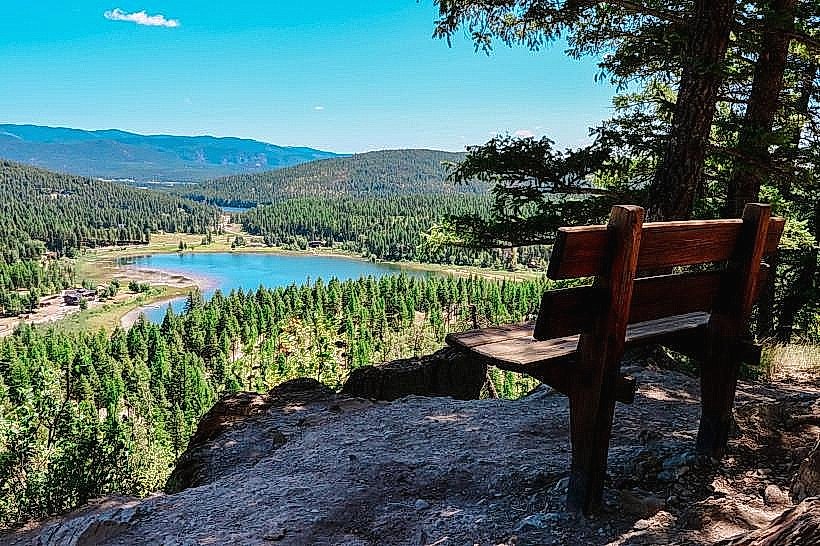
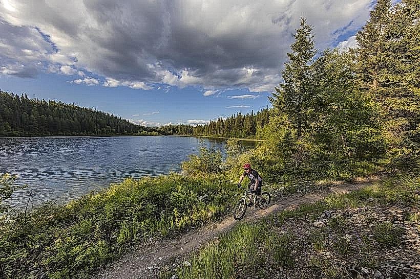
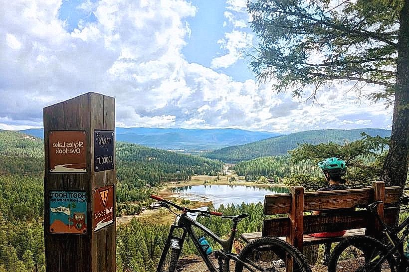
The trail system traverses varied terrain, including forested areas with coniferous trees such as Douglas fir and lodgepole pine, open meadows, and sections adjacent to Whitefish Lake. Trail surfaces consist of packed dirt, gravel, and in some areas, boardwalks over marshy ground. Elevation changes are moderate, with some steeper ascents and descents on specific segments.
Location & Access Logistics
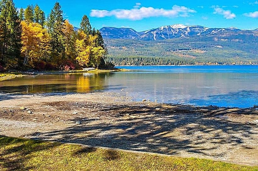
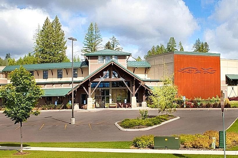
The Whitefish Trail is accessible from multiple trailheads. The main access point is the Whitefish Lake State Park, located approximately 4.8 kilometers (3 miles) east of Downtown Whitefish via State Highway 40 East. Parking is available within the State Park for a fee. Additional access points include the Swift Creek Trailhead, located 6.4 kilometers (4 miles) north of downtown via Farm to Market Road, and the Lion Mountain Trailhead, situated 8 kilometers (5 miles) north of downtown via Farm to Market Road. Public transportation options to trailheads are limited; the Whitefish City bus system does not directly serve most trail access points.
Historical & Ecological Origin
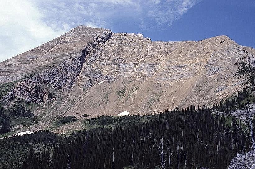
The Whitefish Trail system was developed through a collaborative effort involving local government, non-profit organizations, and community volunteers, with initial construction beginning in the early 2000s. The primary purpose was to provide recreational opportunities and conserve local natural resources. The ecological environment is characteristic of the Northern Rocky Mountains, featuring a mix of montane forests and riparian zones.
Key Highlights & Activities
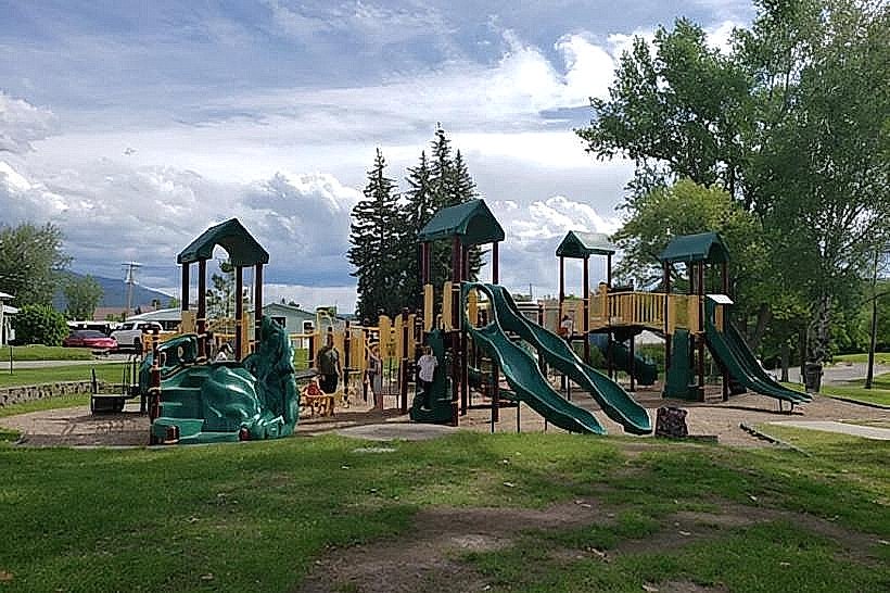
Activities include hiking, mountain biking, and trail running. Specific trails offer views of Whitefish Lake, including the Whitefish Lake Overlook trail. The Swift Creek section provides access to a natural stream environment. Some sections are designated for specific user types to manage traffic flow.
Infrastructure & Amenities
Restrooms are available at the Whitefish Lake State Park and Swift Creek Trailhead. Some sections of the trail offer natural shade from tree cover. Cell phone signal strength varies significantly along the trail network, with better reception closer to trailheads and developed areas. Food vendors are not directly located on the trail but are available in downtown Whitefish and near the State Park entrance.
Best Time to Visit
The best months for visiting are from late May through October, avoiding the snow season. For photography, early morning and late afternoon light provides optimal illumination on the trails. High tide is not a relevant factor for this trail system.
Facts & Legends
A specific section of the trail, known as the "Whitefish Trail Loop," is a popular route for a 16-kilometer (10-mile) circuit. Local lore suggests that the area was historically used by indigenous tribes for hunting and gathering, though specific documented legends are scarce.
Nearby Landmarks
- Whitefish Lake State Park (0.5km East)
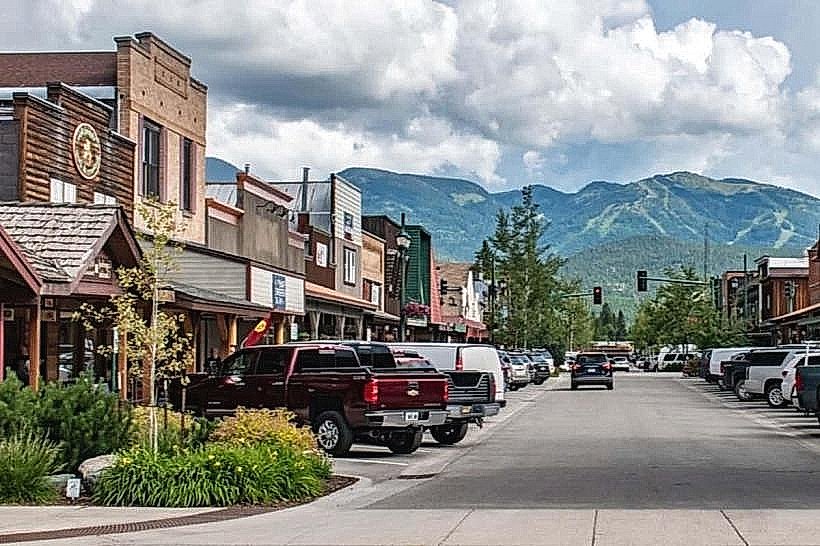
- Downtown Whitefish (4.8km West)
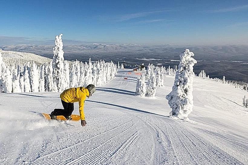
- Big Mountain Ski Resort (16km North)
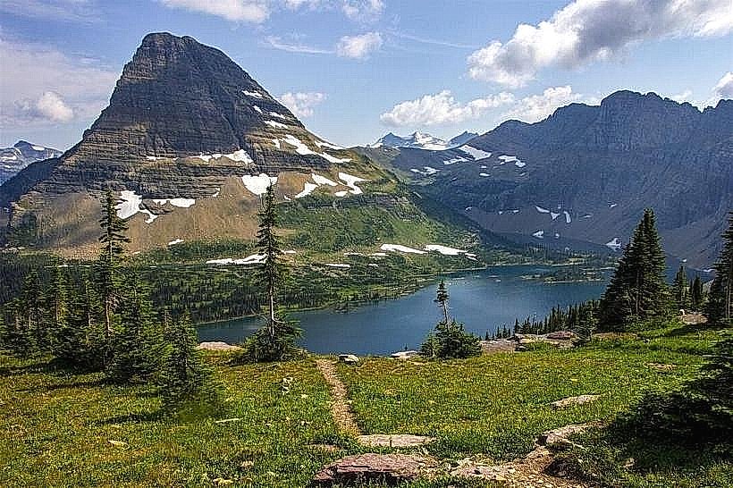
- Glacier National Park (40km East)