Landmark: Tahuata Pass
City: Marquesas Islands
Country: French Polynesia
Continent: Australia
Tahuata Pass, Marquesas Islands, French Polynesia, Australia
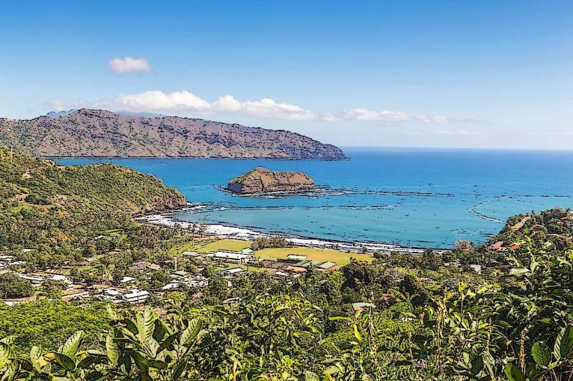
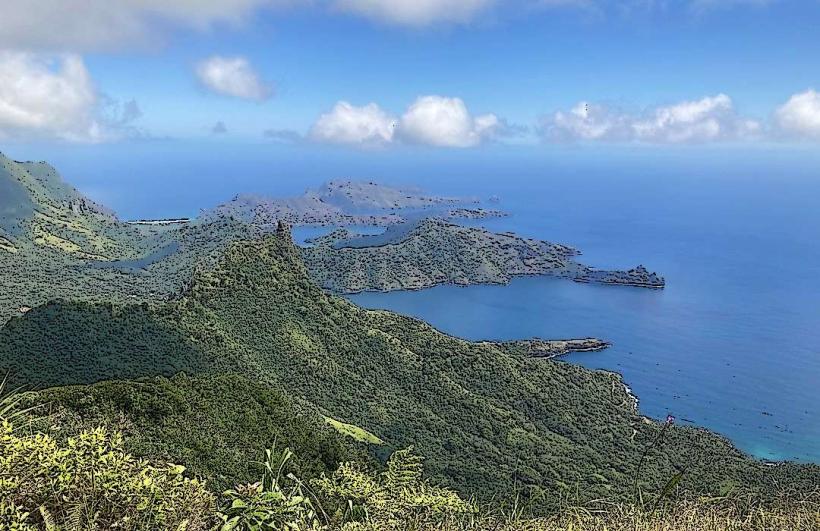
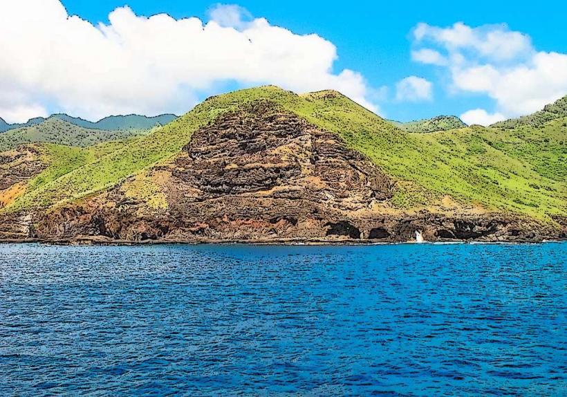
Tahuata Pass is a maritime passage located between the islands of Tahuata and Hiva Oa in the Marquesas Islands, French Polynesia.
This strait connects the Pacific Ocean to the bays of both islands, serving as a critical navigational route.
Visual Characteristics
The pass is characterized by deep blue oceanic water, with surrounding landmasses exhibiting steep, volcanic cliffs. Vegetation is dense and green on the higher elevations of the islands, contrasting with the exposed rock faces. The water depth varies significantly, with submerged reefs and rock formations present.
Location & Access Logistics
Tahuata Pass is situated approximately 10 kilometers southwest of Vaitahu Bay on Tahuata Island and 15 kilometers east of Atuona Bay on Hiva Oa Island. Access is exclusively by sea. Private vessels and authorized tour boats navigate the pass. There are no direct road or public transport links to the pass itself; access is contingent on reaching either Tahuata or Hiva Oa first, typically via inter-island flights or infrequent cargo ships.
Historical & Ecological Origin
The pass is a natural geological formation, carved by oceanic erosion and tectonic activity over millennia. It represents a submerged valley between two volcanic islands. Ecologically, it is part of the Marquesas Islands' marine ecosystem, supporting diverse pelagic and reef-associated species.
Key Highlights & Activities
Navigating the pass by boat offers views of the island coastlines. The waters within and adjacent to the pass are known for potential sightings of marine life, including dolphins and whales during migration seasons. Diving and snorkeling are possible in sheltered areas outside the main current, particularly near the island shores, subject to sea conditions.
Infrastructure & Amenities
There are no permanent structures or amenities directly within Tahuata Pass. Basic facilities such as restrooms and food vendors are available in the nearby settlements of Vaitahu (Tahuata) and Atuona (Hiva Oa). Cell phone signal is generally unreliable within the pass itself but may be present on the higher elevations of the islands.
Best Time to Visit
The best time for navigation is during the dry season, from May to October, when sea conditions are typically calmer. Mid-morning to early afternoon provides optimal sunlight for underwater visibility if engaging in aquatic activities. High tide is generally preferred for navigating shallower reef areas.
Facts & Legends
Local lore suggests that the currents within Tahuata Pass were once believed to be controlled by ancient sea spirits, influencing the success of voyages. A specific navigational hazard known to local mariners is a submerged pinnacle rock located on the western approach, requiring careful charting.
Nearby Landmarks
- Vaitahu Bay (Tahuata Island) - 10km Northeast
- Atuona Bay (Hiva Oa Island) - 15km Southwest
- Mount Temetiu (Hiva Oa Island) - 20km West
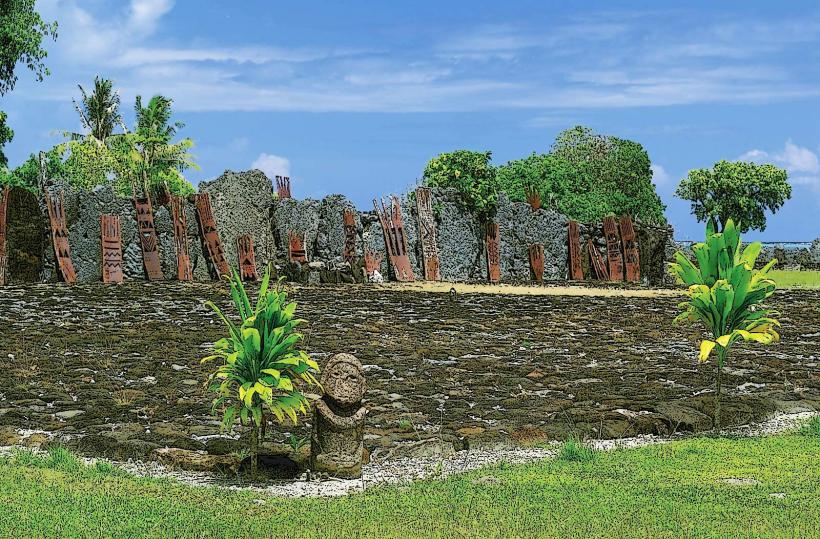
- Tohua Pe'ape'a (Tahuata Island) - 12km East
- Hiva Oa Museum (Atuona, Hiva Oa Island) - 15km Southwest