Landmark: Tanah Merah Lake (Danau Tanah Merah)
City: Samarinda
Country: Indonesia
Continent: Asia
Tanah Merah Lake (Danau Tanah Merah), Samarinda, Indonesia, Asia
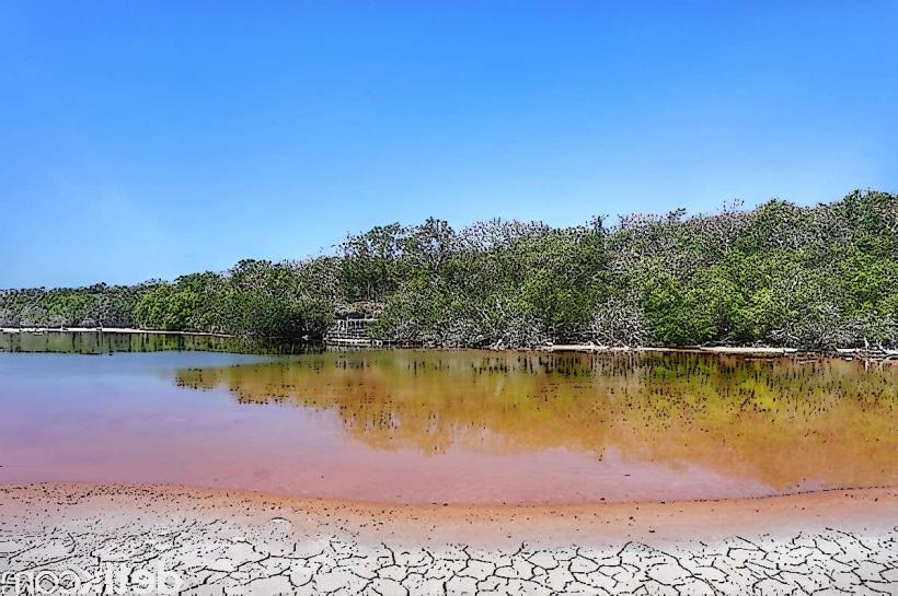
Tanah Merah Lake, known locally as Danau Tanah Merah, is a body of water situated in Samarinda, East Kalimantan, Indonesia.
Visual Characteristics
The lake's water exhibits a dark, tea-like color due to tannins released from decaying vegetation. The surrounding area is characterized by dense tropical rainforest vegetation, with a muddy shoreline.
Location & Access Logistics
Danau Tanah Merah is located approximately 25 kilometers north of Samarinda's city center. Access is via Jalan Poros Samarinda-Bontang. Turn off onto a smaller, unpaved road for the final 2 kilometers. Limited parking is available at the lake's edge. Public transport directly to the lake is not available; a private vehicle or taxi is required.
Historical & Ecological Origin
The lake is a natural depression that has filled with water over time, forming a freshwater lake within the Borneo rainforest ecosystem. Its formation is linked to the region's geological and hydrological processes.
Key Highlights & Activities
Boating is the primary activity, with local operators offering short trips across the lake. Fishing is also practiced by local residents. Observation of the surrounding rainforest flora and fauna is possible from the water.
Infrastructure & Amenities
Basic amenities are minimal. There are no permanent restroom facilities. Shade is provided by the natural tree canopy. Cell phone signal is intermittent to non-existent. Food vendors are not consistently present; visitors should bring their own provisions.
Best Time to Visit
The best time for photography is during the early morning or late afternoon when the light filters through the trees. The dry season, from June to September, generally offers more stable weather conditions. Water levels can fluctuate with rainfall.
Facts & Legends
Local folklore suggests the lake is inhabited by spirits of the forest. A specific point of interest is a submerged tree visible in clear water conditions, believed by some to be a marker of ancient significance.
Nearby Landmarks
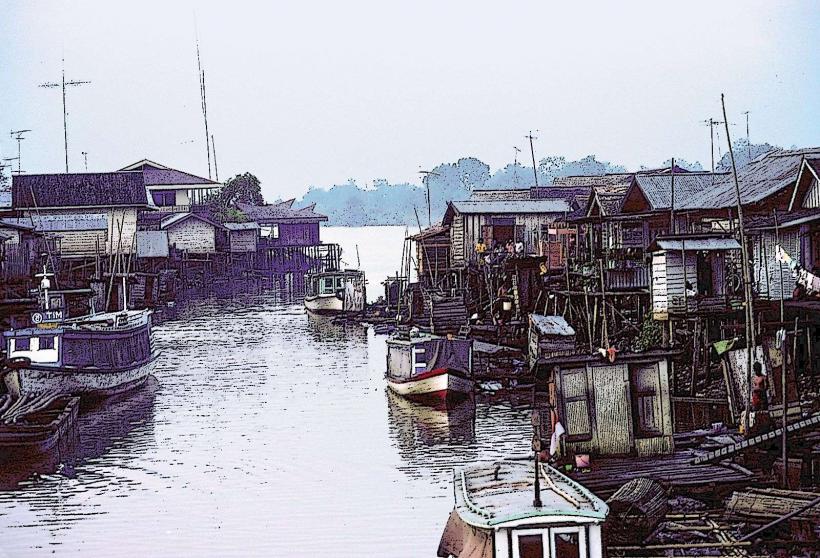
- Sungai Mahakam (Mahakam River) - 15km Southwest
- Samarinda City Center - 25km South
- Taman Hutan Raya Bukit Soeharto (Soeharto Forest Park) - 30km Southeast
- Loa Janan - 18km South