Landmark: Tenggol Island
City: Terengganu
Country: Malaysia
Continent: Asia
Tenggol Island, Terengganu, Malaysia, Asia
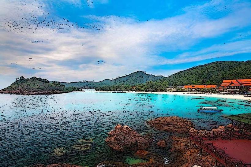
Tenggol Island is a marine park located off the coast of Terengganu, Malaysia. It is a popular destination for diving and snorkeling.
Visual Characteristics
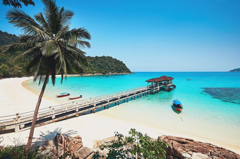
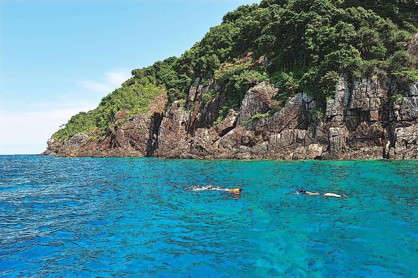
The island features granite rock formations and dense tropical vegetation. Its coastline is characterized by sandy beaches and coral reefs. The surrounding waters are typically clear, with visibility varying based on conditions.
Location & Access Logistics
Tenggol Island is situated approximately 15 kilometers east of Kuala Dungun. Access is primarily via speedboat or ferry from the Kuala Dungun jetty. The journey takes approximately 45 minutes to 1 hour, depending on sea conditions. There is no public transport directly to the island; access is arranged through tour operators or resort bookings. Parking is available at the Kuala Dungun jetty, with charges applicable.
Historical & Ecological Origin
Tenggol Island is a geological formation of igneous rock, primarily granite. Ecologically, it is classified as a tropical island ecosystem with significant marine biodiversity, forming part of the Terengganu Marine Park system.
Key Highlights & Activities
Diving and snorkeling are the primary activities, with numerous dive sites around the island known for coral gardens and marine life. Hiking trails exist on the island, offering elevated viewpoints. Swimming is possible in designated areas.
Infrastructure & Amenities
Limited infrastructure exists on the island, primarily consisting of basic accommodation facilities provided by resorts. Restrooms are available at these resorts. Shade is provided by natural vegetation and resort structures. Cell phone signal can be intermittent. Food vendors are generally located within the resort premises.
Best Time to Visit
The optimal period for visiting Tenggol Island is between March and October, coinciding with the drier monsoon season. Visibility for diving and snorkeling is generally best during these months. The best time of day for photography is typically morning and late afternoon due to softer light. High tide is generally preferred for accessing certain shallow reef areas.
Facts & Legends
Local folklore suggests the island is named after a type of tree, the "pokok tenggol," which was once abundant. A specific tip for visitors is to be aware of the strong currents that can occur around the island, particularly at certain dive sites, and to dive with experienced guides.
Nearby Landmarks
- 0.5km West: Kuala Dungun Town
- 10km Southwest: Pulau Kapas
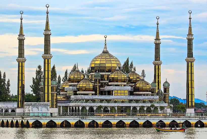
- 25km Northwest: Rantau Abang