Landmark: Tête de Chien Mountain
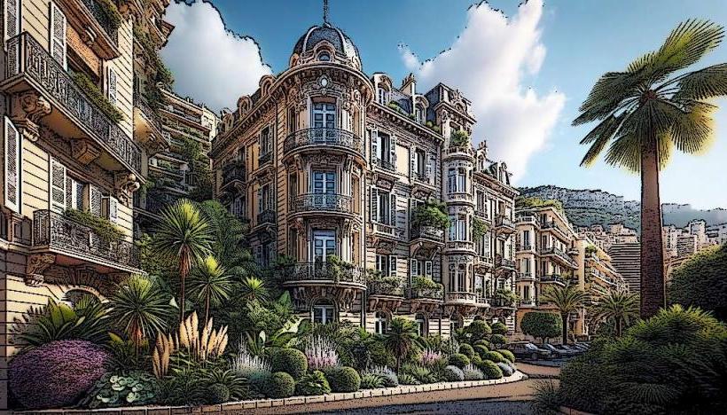
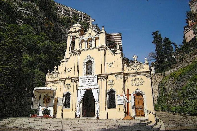
City: Monaco Ville
Country: Monaco
Continent: Europe
Tête de Chien Mountain, Monaco Ville, Monaco, Europe
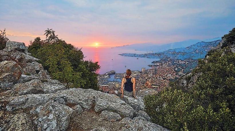
Tête de Chien Mountain is a prominent limestone peak rising above the Principality of Monaco. It is situated on the French side of the border, directly overlooking Monaco Ville.
Visual Characteristics
The mountain is characterized by its steep, rocky limestone cliffs and slopes, covered primarily with dense Mediterranean scrub (maquis) and scattered pine trees. Its summit reaches approximately 550 meters above sea level, offering expansive panoramic views of the coastline, including Monaco, Cap Ferrat, and the Italian Riviera. The rock formations are typical of the Maritime Alps, exhibiting weathered grey and white hues.
Location & Access Logistics
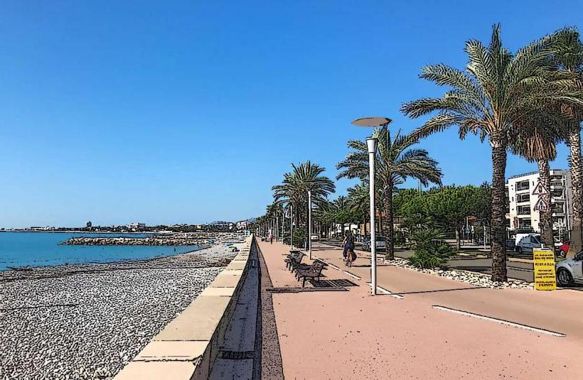
Tête de Chien Mountain is located approximately 5 kilometers north of Monaco Ville. Access is primarily by road via the D51, also known as the Route de la Turbie, which winds up from the coast. Limited parking is available near the summit and at various viewpoints along the access road. Public transport options involve taking bus lines (e.g., Z15 from Nice or local buses from Monaco) to the village of La Turbie, from which the summit is accessible via a moderate hike of approximately 2 kilometers.
Historical & Ecological Origin
Geologically, Tête de Chien Mountain is a part of the pre-Alpine range, composed predominantly of Mesozoic limestone. Its formation is a result of tectonic uplift and erosion characteristic of the Maritime Alps. Historically, its strategic position led to the construction of the Fort de la Tête de Chien, a military fortification built in the late 19th century as part of the Séré de Rivières system to defend the French border.
Key Highlights & Activities
Visitors can engage in hiking along marked trails that traverse the summit and surrounding areas, including sections of the Via Alpina. The mountain is a popular spot for paragliding, with launch sites offering flights over the coast. Photography is a primary activity due to the extensive panoramic views. Exploring the exterior of the historic Fort de la Tête de Chien is also possible.
Infrastructure & Amenities
Infrastructure at the summit is minimal, consisting mainly of paved viewing areas and some benches. There are no dedicated public restrooms or food vendors directly on the mountain. Basic amenities, including restaurants and shops, are available in the nearby village of La Turbie. Cell phone signal (4G/5G) is generally reliable across the summit and access roads. Shade is limited to scattered trees and specific viewpoints.
Best Time to Visit
The best time to visit for clear views and comfortable hiking conditions is during the spring (April-May) and autumn (September-October) months, when temperatures are moderate. Early mornings are ideal for photography, offering optimal light and often clearer skies before haze develops. Visiting outside of peak summer avoids high temperatures and larger crowds.
Facts & Legends
The name "Tête de Chien" translates to "Dog's Head," a moniker believed to derive from the mountain's profile when viewed from certain angles at sea. A verified historical oddity is that the mountain served as a crucial observation post during World War II, offering a commanding view of the entire Monaco coastline and surrounding French and Italian territories.
Nearby Landmarks
- Trophée d'Auguste (La Turbie): 2 km North-East
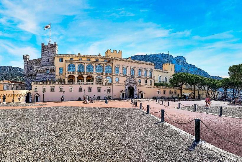
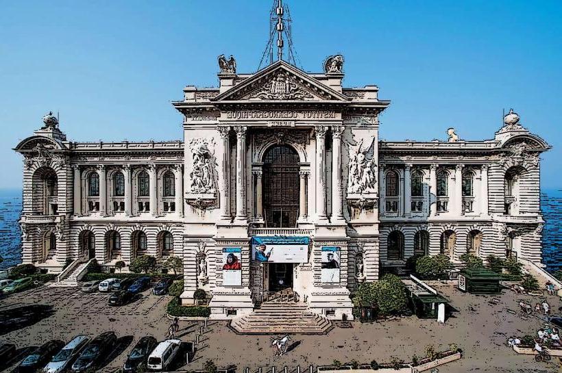
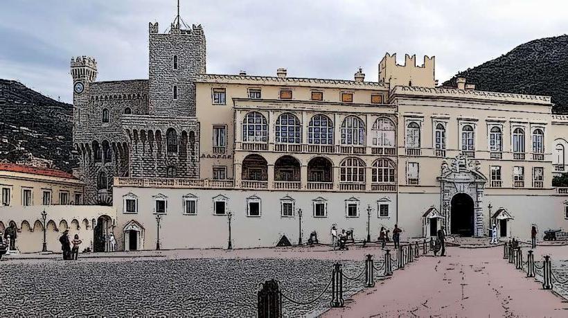
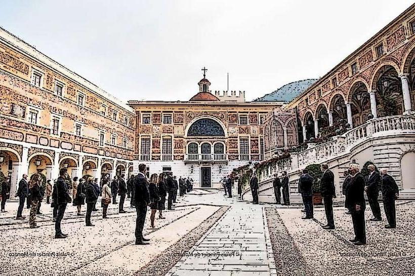
- Prince's Palace of Monaco (Monaco Ville): 5 km South
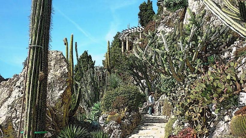
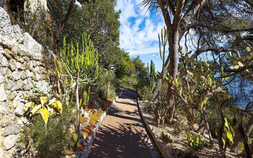
- Jardin Exotique de Monaco: 4.5 km South-West
- Oceanographic Museum of Monaco (Monaco Ville): 5.2 km South