Landmark: Three Rivers Greenway
City: Columbia SC
Country: USA South Carolina
Continent: North America
Three Rivers Greenway, Columbia SC, USA South Carolina, North America
The Three Rivers Greenway is a network of paved trails located in Columbia, South Carolina, USA. It follows the confluence of the Saluda, Broad, and Congaree Rivers.
Visual Characteristics
The greenway consists of paved asphalt pathways, typically 10-12 feet wide. The surrounding vegetation is primarily deciduous forest, with mature oak, pine, and maple trees. River views are prominent, with the water color varying from brown to grey depending on recent rainfall and sediment levels. The terrain is generally flat with some gentle inclines.
Location & Access Logistics
Access points are distributed throughout Columbia. The Gervais Street Bridge access point is located at the intersection of Gervais Street and Huger Street, approximately 1 mile Southeast of the Columbia city center. Parking is available in designated lots at the Gervais Street access, the Granby Park access (1800 Granby Road, 1.5 miles Southeast), and the West Columbia Riverwalk access (100 State Street, West Columbia, 2 miles Southwest). Bus routes 1, 4, and 12 serve stops near the Gervais Street Bridge access.
Historical & Ecological Origin
The greenway project began in the late 1990s, with initial sections opening in the early 2000s. Its purpose is to provide recreational access to the riverfront and connect existing park areas. The ecological environment is a mixed hardwood-pine forest typical of the Piedmont region of South Carolina, situated within the Congaree River floodplain.
Key Highlights & Activities
Walking, jogging, and cycling are primary activities. Fishing is permitted from designated areas along the riverbanks. Birdwatching is common due to the riparian habitat. Kayaking and canoeing are possible on the rivers, with launch points at Granby Park and West Columbia Riverwalk.
Infrastructure & Amenities
Restrooms are available at Granby Park and West Columbia Riverwalk. Benches are situated at intervals along the paved paths. Shade is provided by the tree canopy. Cell phone signal (4G/5G) is generally consistent along the main paved sections. No food vendors are permanently stationed on the greenway itself, but are available in nearby park areas and commercial districts.
Best Time to Visit
For photography, early morning (7-9 AM) offers softer light and fewer users. Spring (March-May) and Fall (September-November) provide the most comfortable temperatures for outdoor activities. High tide is not a significant factor for trail access, but river conditions can affect water-based activities.
Facts & Legends
The confluence of the three rivers was historically a significant trading and transportation hub. A specific local legend speaks of a submerged Native American artifact site near the confluence, though its exact location remains unverified.
Nearby Landmarks
- South Carolina State House (1.2km Northwest)
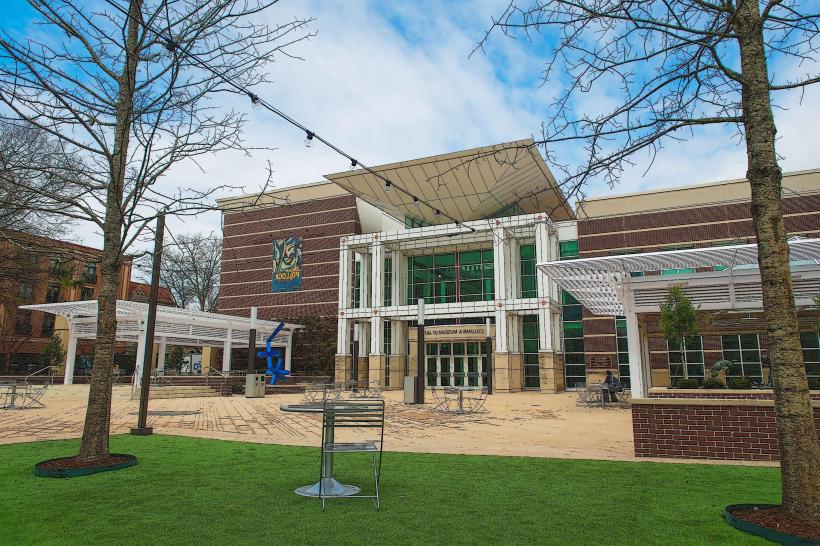
- Columbia Museum of Art (1.5km Northwest)
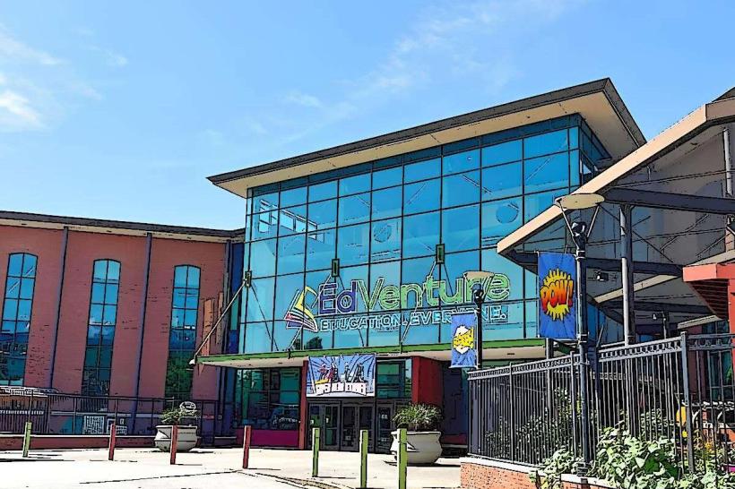
- EdVenture Children's Museum (1.8km Northwest)
- Riverbanks Zoo and Garden (3.5km West)
- Historic Columbia Foundation (1.3km Northwest)