Landmark: Thumb Butte Trail
City: Prescott
Country: USA Arizona
Continent: North America
Thumb Butte Trail, Prescott, USA Arizona, North America
Thumb Butte Trail is a hiking trail located near Prescott, Arizona. It leads to the summit of Thumb Butte, a prominent geological formation.
Visual Characteristics
Thumb Butte is a granite monadnock rising approximately 600 feet above the surrounding terrain. The formation is characterized by its steep, rocky slopes and a distinctive, thumb-like protrusion at its apex. The trail itself traverses Ponderosa pine forest, with sections of exposed granite near the summit.
Location & Access Logistics
The trailhead is located approximately 7 miles west of Prescott, Arizona, off State Route 89. Access is via Thumb Butte Road, a paved, well-maintained route. A designated parking area is available at the trailhead, with capacity for approximately 30 vehicles. No public transport services reach the trailhead.
Historical & Ecological Origin
Thumb Butte is a geological feature formed by volcanic activity approximately 19 million years ago. It is composed of dacite, a type of volcanic rock. The surrounding forest is a mixed conifer ecosystem, primarily Ponderosa pine, with undergrowth of manzanita and various shrubs.
Key Highlights & Activities
The primary activity is hiking the 2.5-mile loop trail to the summit. The trail includes switchbacks and a final ascent via a series of stone steps. Panoramic views of the surrounding Prescott National Forest are available from the summit. Photography is a common activity.
Infrastructure & Amenities
Restrooms are available at the trailhead parking area. Shade is present along the lower sections of the trail due to the forest canopy. Cell phone signal is intermittent and generally unreliable on the trail and at the summit. No food vendors are present at the trailhead or along the trail.
Best Time to Visit
For optimal lighting for photography, early morning or late afternoon is recommended. The best months for hiking are April through October, avoiding the potential for snow and ice in winter. The trail is accessible year-round, weather permitting.
Facts & Legends
Local lore suggests that the shape of Thumb Butte resembles a giant's thumb. A verified historical fact is that the area was utilized by early settlers for logging and grazing.
Nearby Landmarks
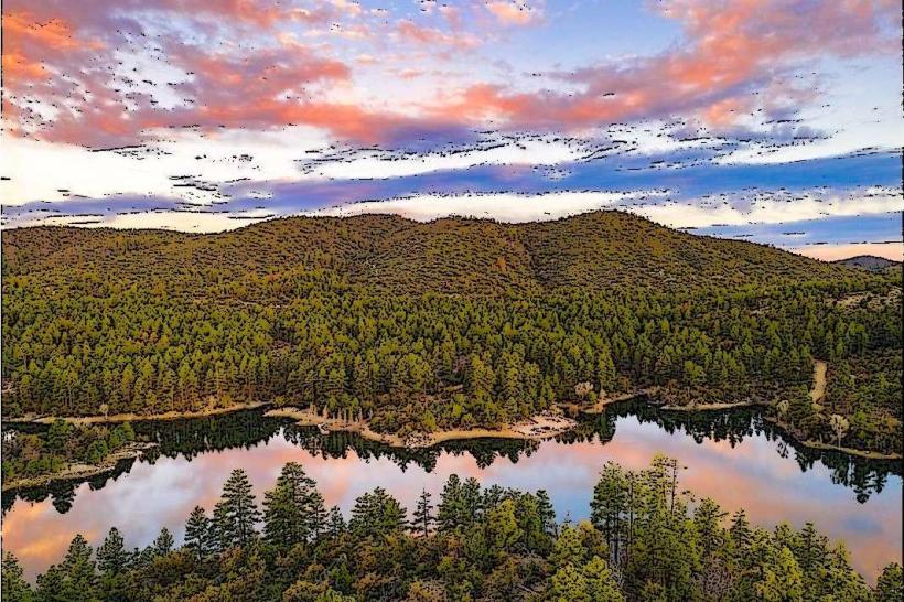
- Watson Lake Recreation Area (5.2km Northeast)
- Lynx Lake Recreation Area (6.8km East)
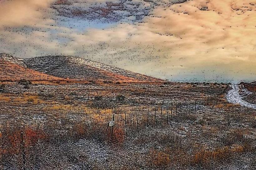
- Granite Dells (4.8km Northeast)
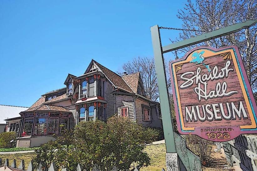
- Downtown Prescott (11.3km East)