Landmark: Tunku Abdul Rahman Marine Park
City: Kota Kinabalu
Country: Malaysia
Continent: Asia
Tunku Abdul Rahman Marine Park, Kota Kinabalu, Malaysia, Asia
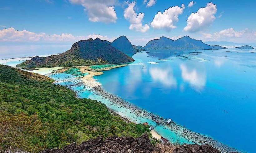
Tunku Abdul Rahman Marine Park is a protected marine area comprising five islands located off the coast of Kota Kinabalu, Malaysia.
This park serves as a conservation zone for marine life and offers recreational opportunities for visitors.
Visual Characteristics
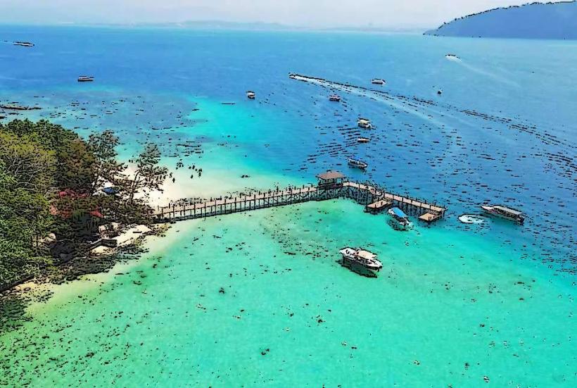
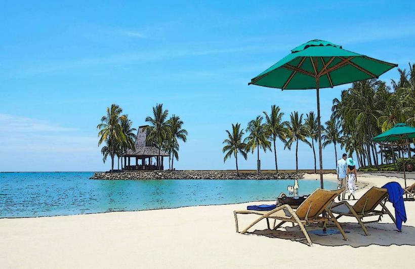
The park consists of five islands: Gaya Island, Sapi Island, Manukan Island, Mamutik Island, and Sulug Island. Gaya Island is the largest, featuring a hilly interior covered in tropical rainforest. The coastlines of these islands are characterized by sandy beaches with varying textures, from fine white sand to coarser grains. The waters surrounding the islands are generally clear, with visibility dependent on weather conditions, and exhibit shades of turquoise and blue. Coral reefs are present in the shallower areas, supporting diverse marine flora and fauna.
Location & Access Logistics
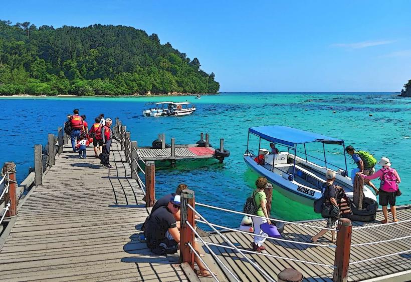
The marine park is situated approximately 3 kilometers northwest of Kota Kinabalu. Access is exclusively via boat from the Jesselton Point Ferry Terminal in Kota Kinabalu. Numerous boat operators offer scheduled and charter services to the islands. Travel time to the nearest island (Gaya Island) is approximately 10-15 minutes, with journeys to further islands taking up to 30 minutes. Parking is available at the Jesselton Point terminal, with various paid parking lots in the vicinity. No public bus routes directly serve the ferry terminal; taxis and ride-sharing services are the primary ground transport options.
Historical & Ecological Origin
Established in 1974, Tunku Abdul Rahman Marine Park was gazetted under the National Parks Ordinance 1958 to protect its marine ecosystems. The islands themselves are remnants of ancient geological formations, with Gaya Island being the largest and most geologically diverse. The park's ecological significance lies in its role as a habitat for a wide array of marine species, including coral reefs, fish, and other invertebrates. It is classified as a marine protected area and a biodiversity hotspot.
Key Highlights & Activities
Activities include snorkeling and diving around the coral reefs, available at designated sites on most islands. Swimming is permitted at the beaches. Hiking trails are present on Gaya Island, offering routes through the rainforest. Boat tours between islands are common. Visitors can observe marine life from the shore in shallow areas. Some islands have facilities for picnicking.
Infrastructure & Amenities
Basic amenities are available on the more developed islands, such as Manukan and Sapi. These include public restrooms, changing facilities, and shaded picnic areas. Food and beverage vendors operate on Manukan and Sapi Islands. Cell phone signal (4G) is generally available on the islands, though it can be intermittent in denser jungle areas. No extensive infrastructure like hotels or resorts exists within the park boundaries.
Best Time to Visit
The best time for clear water visibility for snorkeling and diving is during the dry season, from March to October. The period between April and June typically offers the calmest seas. For photography, early morning (7:00 AM - 9:00 AM) and late afternoon (4:00 PM - 6:00 PM) provide softer lighting. Tidal conditions do not significantly impact access to the islands, but can affect snorkeling conditions in very shallow reef areas.
Facts & Legends
Gaya Island was once the site of a Japanese prisoner-of-war camp during World War II. A specific tip for visitors is to bring insect repellent, especially if planning to hike on Gaya Island, due to the dense jungle vegetation.
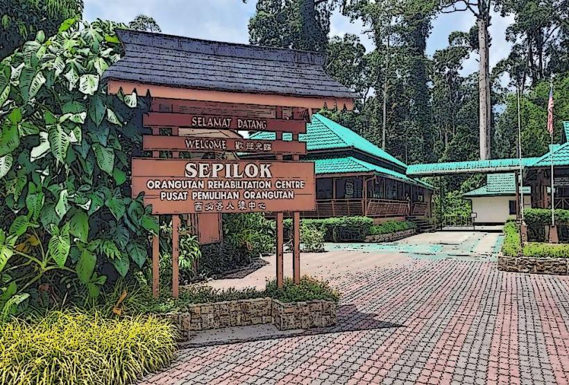
Nearby Landmarks
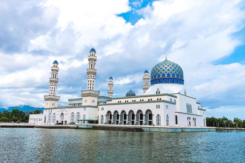
- Kota Kinabalu City Mosque (0.8km Southeast)
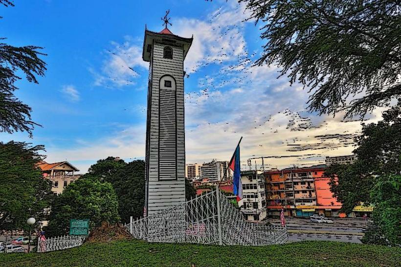
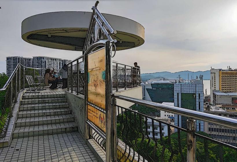
- Signal Hill Observatory Platform (1.5km East)
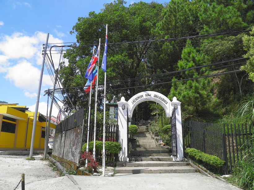
- War Memorial Park (2.0km East)
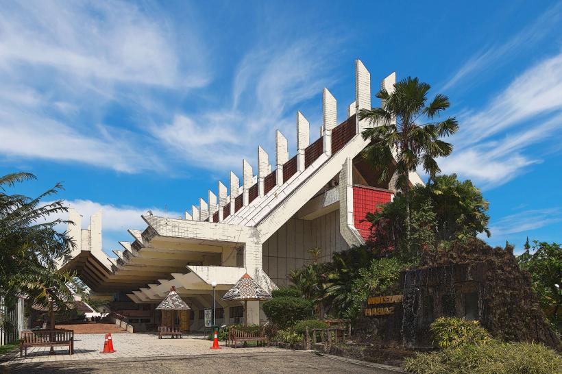
- Sabah State Museum (2.5km East)
- Filipino Market (2.8km East)