Information
Landmark: Urubamba RiverCity: Sacred Valley
Country: Peru
Continent: South America
Urubamba River, Sacred Valley, Peru, South America
The Urubamba River is a major river in the Sacred Valley of Peru, flowing through the Cusco Region.
It is a significant waterway for the region's geography and historical settlements.
Visual Characteristics
The river's width varies, typically ranging from 50 to 150 meters. Water color is generally brown to muddy brown, influenced by sediment load, especially during the rainy season. The riverbanks are characterized by alluvial deposits, with sections featuring exposed gravel bars. Surrounding vegetation is a mix of agricultural fields and native Andean flora, including grasses and shrubs.
Location & Access Logistics
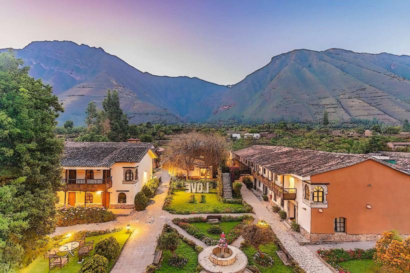
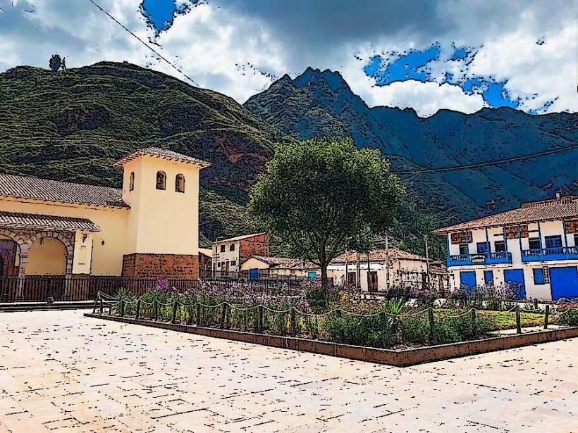
The Urubamba River traverses the Sacred Valley, with key access points near towns such as Pisac, Urubamba, and Ollantaytambo. From Cusco, take the PE-3S highway (Carretera Central) towards Pisac (approximately 30 km). Parking is available in designated areas within these towns. Public transport includes frequent colectivos (shared vans) departing from Cusco's Puputi street to Pisac and Urubamba. Bus services also operate to Ollantaytambo.
Historical & Ecological Origin
The Urubamba River is part of the Amazon Basin's headwaters. Its geological formation is primarily fluvial, shaped by erosion and sediment deposition over millennia. Historically, the river was crucial for the Inca civilization, serving as a vital water source for agriculture and transportation. Its course facilitated the development of settlements and agricultural terraces throughout the Sacred Valley.
Key Highlights & Activities
White-water rafting is available on specific sections, particularly between Urubamba and Ollantaytambo, during the dry season (May to October). Kayaking is also possible. Observing the river's flow and surrounding landscape from bridges and viewpoints in towns like Pisac and Ollantaytambo is a primary activity. Hiking along designated trails adjacent to the river is an option in certain areas.
Infrastructure & Amenities
Restrooms are available in the towns located along the river, such as Pisac, Urubamba, and Ollantaytambo. Shade is provided by natural vegetation and structures in populated areas. Cell phone signal (4G) is generally available in towns and along main roads. Food vendors and restaurants are concentrated in the aforementioned towns.
Best Time to Visit
The dry season, from May to October, offers the most stable weather conditions and lower water levels, making it ideal for activities like rafting. The best time of day for landscape photography is generally during the early morning or late afternoon for softer light. High tide is not a relevant factor for this river.
Facts & Legends
The Urubamba River was historically known as the Vilcanota River. Local lore suggests that the river's flow was once controlled by ancient Inca engineers to prevent flooding, with evidence of sophisticated canal systems still visible in some areas.
Nearby Landmarks
- Pisac Archaeological Park (1.5km North-East of Pisac town)
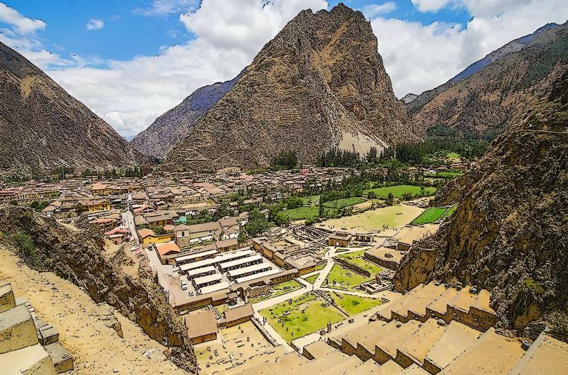
- Ollantaytambo Fortress (Adjacent to Ollantaytambo town)
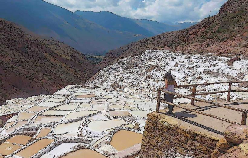
- Maras Salt Mines (8km West of Urubamba town)
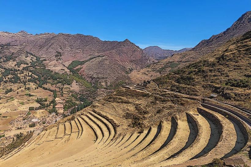
- Moray Agricultural Terraces (6km North-West of Urubamba town)
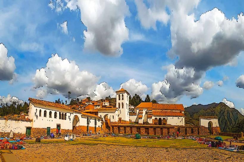
- Chinchero Town and Ruins (15km West of Urubamba town)