Landmark: Vermillion River Trail
City: Vermillion
Country: USA South Dakota
Continent: North America
Vermillion River Trail, Vermillion, USA South Dakota, North America
The Vermillion River Trail is a linear park located in Vermillion, South Dakota. It follows the course of the Vermillion River.
Visual Characteristics
The trail is primarily unpaved, consisting of packed earth and gravel. It is bordered by deciduous trees and native prairie grasses. The Vermillion River itself is typically shallow and slow-moving, with a muddy bottom. Water color varies from brown to greenish depending on recent rainfall.
Location & Access Logistics
The Vermillion River Trail can be accessed from multiple points within Vermillion. The main trailhead is located at the intersection of East Cherry Street and Willow Creek Road, approximately 1.5km East of the Vermillion city center. Parking is available at this trailhead in a gravel lot. Public transport options are limited; the nearest bus stop for the Vermillion city bus route is 1km West of the main trailhead.
Historical & Ecological Origin
The trail was developed in the late 1990s as a municipal project to preserve riparian habitat and provide recreational access. Ecologically, the area is part of the Missouri River watershed, characterized by a temperate grassland ecosystem with a riparian corridor.
Key Highlights & Activities
Walking and cycling are the primary activities. Birdwatching is possible along the riverbanks. Fishing is permitted in designated areas of the Vermillion River, subject to state regulations. The trail offers opportunities for nature observation.
Infrastructure & Amenities
Restrooms are available at the main trailhead on East Cherry Street. Limited shade is provided by mature trees along sections of the trail. Cell phone signal (4G) is generally available. No food vendors are located directly on the trail; amenities are available in Vermillion city center.
Best Time to Visit
For photography, early morning or late afternoon light provides optimal illumination. The best months for comfortable outdoor activity are May through September. No tide considerations apply.
Facts & Legends
Local folklore suggests that during periods of heavy rain, the river's flow can briefly increase to a level that makes crossing the lower sections impassable, a phenomenon attributed to rapid runoff from the surrounding agricultural lands.
Nearby Landmarks
- Clay County Historical Museum (1.2km West)
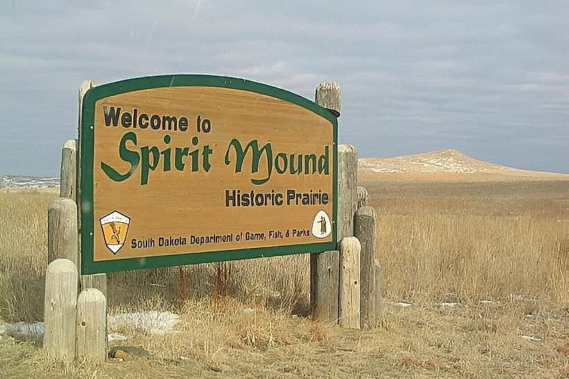
- Spirit Mound State Historic Site (8.5km Southwest)
- University of South Dakota Campus (2.0km West)
- W.H. Over Museum (2.1km West)