Landmark: War Eagle Park
City: Sioux City
Country: USA Iowa
Continent: North America
War Eagle Park, Sioux City, USA Iowa, North America
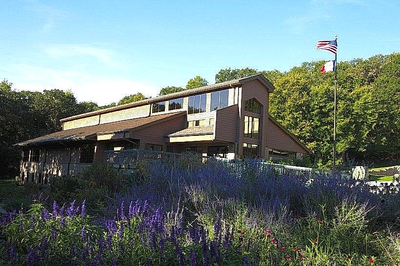
War Eagle Park is a public recreational area situated in Sioux City, Iowa, USA.
This park encompasses 102 acres of land along the Missouri River.
Visual Characteristics
The park features a mix of mature deciduous trees, primarily oak and maple, providing significant canopy cover. The terrain is gently rolling, with open grassy areas interspersed with wooded sections. The park's western boundary is defined by the Missouri River, a wide, slow-moving waterway. Several paved pathways traverse the park, connecting different zones.
Location & Access Logistics
War Eagle Park is located at 4400 War Eagle Park Road, Sioux City, Iowa. It is approximately 6.5 kilometers (4 miles) southwest of the Sioux City city center. Access is via War Eagle Park Road, which connects to Lewis Boulevard. Ample free parking is available in designated lots throughout the park. Public transport options are limited; the closest bus route, Line 7, stops at the intersection of Lewis Boulevard and War Eagle Park Road, requiring a 0.8km (0.5 mile) walk to the park entrance.
Historical & Ecological Origin
The land that now constitutes War Eagle Park was historically part of the traditional territories of the Omaha and Yankton Sioux tribes. The park was established as a public space in the mid-20th century, with significant development occurring in the 1970s to create recreational facilities. Ecologically, the area is part of the Missouri River floodplain, characterized by riparian forest and prairie remnants.
Key Highlights & Activities
Activities include fishing from the riverbank, picnicking at designated shelters, and walking or cycling on the paved trails. Birdwatching is a common activity due to the diverse avian population. The park also contains a playground area for children.
Infrastructure & Amenities
Restrooms are available in the main pavilion area. Several picnic shelters offer shade. Cell phone signal (4G/5G) is generally reliable within the park. No on-site food vendors are present, but convenience stores are located approximately 1.5km (1 mile) north on Lewis Boulevard.
Best Time to Visit
For photography, early morning or late afternoon provides optimal lighting due to the angle of the sun. The best months for visiting are from April to October, when temperatures are moderate and vegetation is at its fullest. No specific tide requirements apply as the park is situated on a river.
Facts & Legends
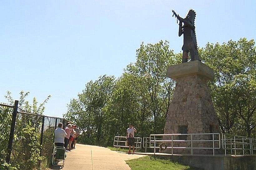
A local historical note is that the park is named after Chief War Eagle, a prominent leader of the Yankton Sioux tribe who had significant interactions with early settlers in the region. A specific tip for visitors is to look for the large cottonwood tree near the riverbank, estimated to be over 200 years old.
Nearby Landmarks
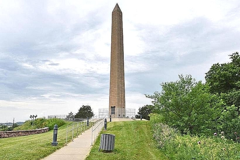
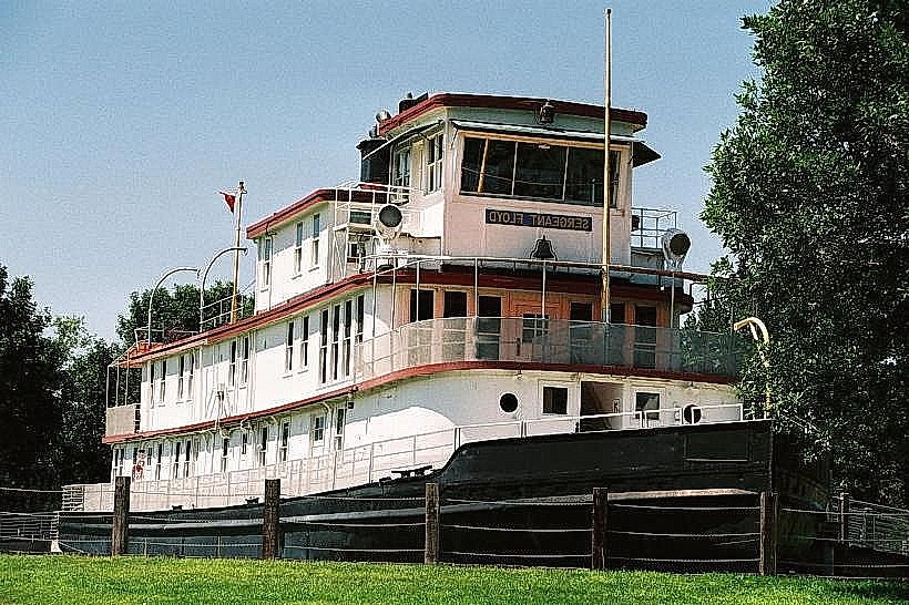
- Sergeant Floyd Monument (1.2km Northeast)
- Riverside Park (2.5km North)
- Sioux City Lewis & Clark Interpretive Center (4.0km North)
- Trish's Garden (4.8km North)