Landmark: Yacht Bay Shaviyani
City: Shaviyani Atoll
Country: Maldives
Continent: Asia
Yacht Bay Shaviyani, Shaviyani Atoll, Maldives, Asia
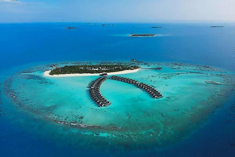
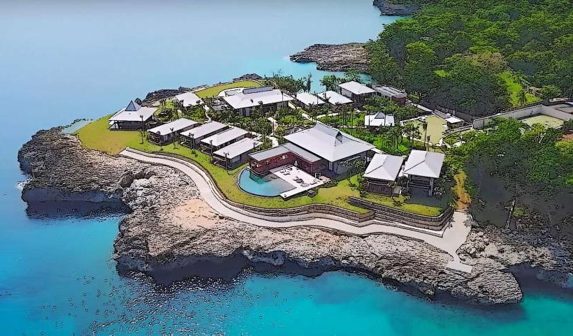
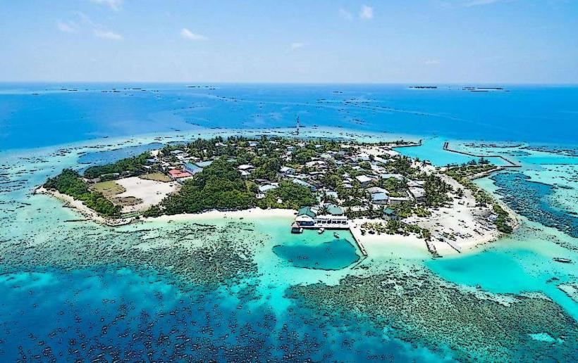
Yacht Bay is a specific anchorage point located within the Shaviyani Atoll in the Maldives.
Visual Characteristics
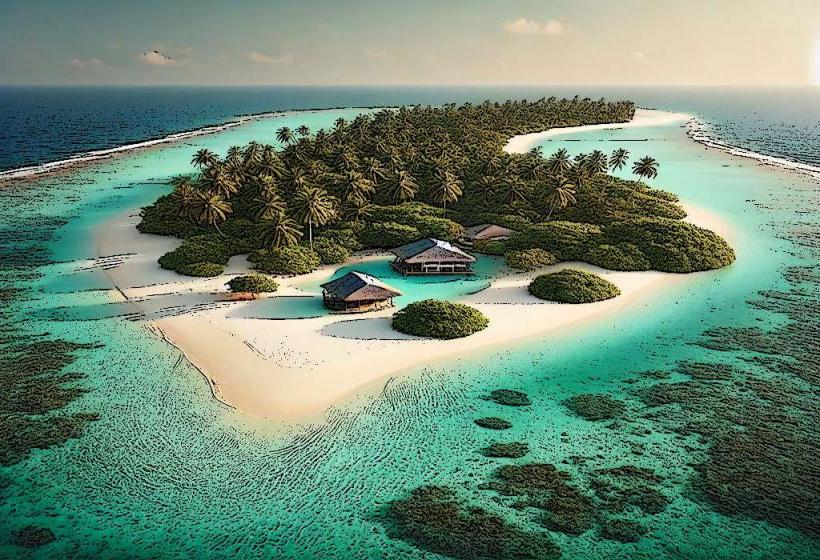
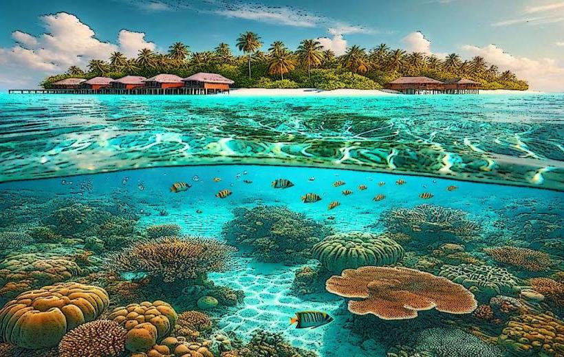
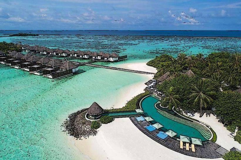
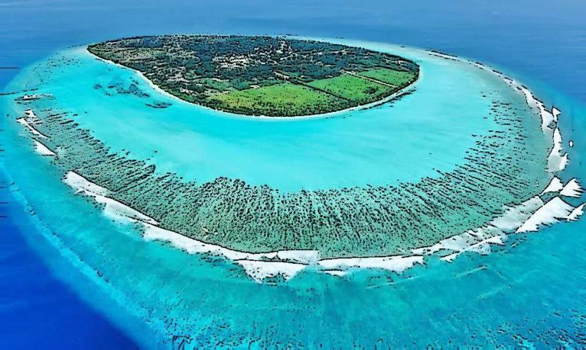
The bay is characterized by clear, shallow turquoise waters with a sandy seabed. Surrounding landmasses are low-lying coral islands with dense tropical vegetation, primarily coconut palms. The water depth averages 5-10 meters within the designated anchorage.
Location & Access Logistics
Yacht Bay is situated on the western side of the Shaviyani Atoll. Access is exclusively by sea. Private yachts and charter vessels navigate to the coordinates 6°15' N, 73°05' E. There is no direct road access from the Malé International Airport (MLE), which is approximately 200 kilometers to the south. Transfer typically involves a seaplane or speedboat to a resort island within the atoll, followed by a short boat trip to the bay. No public transport services operate directly to the bay.
Historical & Ecological Origin
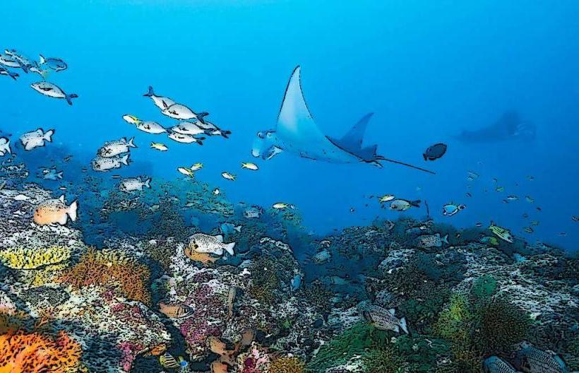
The bay is a natural geological formation, a shallow lagoon formed by the erosion and sedimentation processes typical of coral atolls. Its ecological significance lies in its role as a habitat for various marine species, including reef fish and juvenile sharks, within the Maldivian marine ecosystem.
Key Highlights & Activities
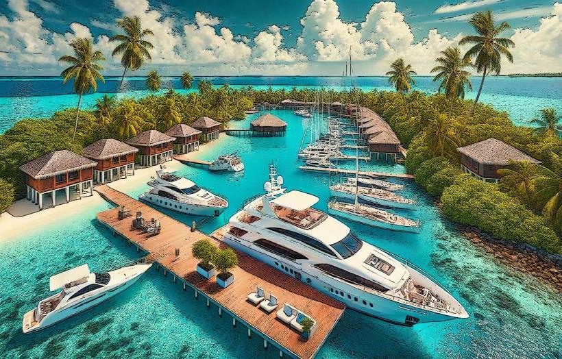
Anchoring for private vessels. Snorkeling and diving are possible in the surrounding reef areas. Kayaking and paddleboarding are suitable activities within the sheltered waters. Fishing is permitted in designated zones outside the immediate anchorage.
Infrastructure & Amenities
No permanent infrastructure or amenities are present within Yacht Bay itself. Visitors rely on their vessels for facilities. Limited cell phone signal (2G/3G) may be available on the water, but is unreliable. No food vendors or public restrooms are located at the bay.
Best Time to Visit
The dry season, from December to April, offers the most favorable weather conditions with minimal rainfall and calm seas. The best time of day for underwater visibility is between 10:00 AM and 3:00 PM, when solar illumination is at its peak. Tidal variations are minimal and do not significantly impact access.
Facts & Legends
Local folklore suggests that the bay was historically used as a clandestine meeting point for traders due to its sheltered nature and proximity to established shipping routes. A specific navigational hazard to be aware of is a submerged coral head located at 6°14.8' N, 73°04.9' E.
Nearby Landmarks
- Maradhoo Island (1.5km Southwest)
- Funadhoo Island (3.2km Northeast)
- Miladhoo Island (4.8km Southeast)
- Noomaraa Island (2.1km West)