City: Coventry
Country: USA Rhode Island
Continent: North America
Coventry, USA Rhode Island, North America
Coventry is a central municipality in Rhode Island and the state's largest town by land area. It serves as a key residential and industrial link between the rural western forest lands and the urbanized Pawtuxet Valley.
Historical Timeline
Incorporated in 1741 after being separated from Warwick, the town was named after Coventry, England. The primary era of governance was defined by the 19th-century Industrial Revolution, specifically the development of textile mills along the Pawtuxet River. The primary event shaping the current urban form was the construction of the Interstate 95 corridor and the Scituate Reservoir system, which bisected the town into a densely populated eastern panhandle and a rural western interior.
Demographics & Population
The total population is approximately 35,688. The top three ethnic demographics are White (92.4%), Hispanic or Latino (2.8%), and Two or More Races (2.5%). The median age is 44.2 years.
Urban Layout & Key Districts
The town is organized into a high-density eastern section and a rural western section. Anthony and Washington (East) are the historic mill villages and commercial centers. Greene and Summit (West) are characterized by large agricultural lots, protected forests, and low-density residential housing.
Top City Landmarks
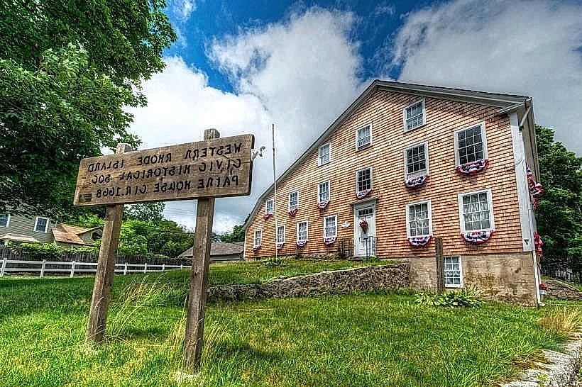
General Nathanael Greene Homestead
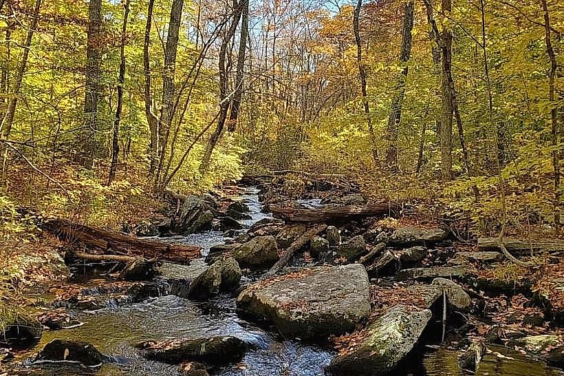
George B. Parker Woodland Wildlife Refuge
Transportation Network
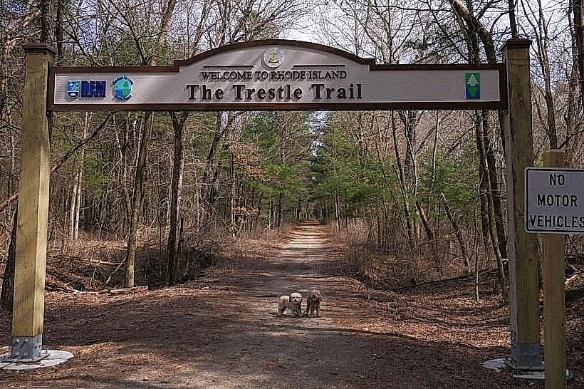
Movement is primarily reliant on private vehicles via Route 3 (Nooseneck Hill Road) and Route 117. The Rhode Island Public Transit Authority (RIPTA) operates Route 12 through the eastern districts. There are no metro or tram systems. The Washington Secondary Bike Path provides a non-motorized east-west transit artery. Uber and Lyft availability is moderate in the east but low in the western rural zones. Official taxis are dispatched from neighboring West Warwick.
Safety & "Red Zones"
The general safety level is high. There are no identified "red zones" or neighborhoods to avoid. Statistical crime rates are significantly lower than the state average, though standard precautions apply in public parking areas and parks at night.
Digital & Financial Infrastructure
Average internet speed is 300 Mbps via Cox or Verizon. Mobile coverage is comprehensive in the eastern panhandle but fluctuates significantly in the western forests near the Connecticut border. Card acceptance is universal. ATMs are concentrated along the Route 3 and Route 117 commercial corridors.
Climate & Air Quality
Temperatures range from -7°C to 3°C in January and 18°C to 28°C in July. Air quality is high due to extensive forest cover. Specific weather risks include localized flooding of the Pawtuxet River and road closures due to heavy snowfall in the higher elevations of western Coventry.
Culture & Social Norms
Tipping of 18–20% is standard. Greetings are informal and direct. Dress code is casual or workwear-oriented. Alcohol regulations follow state law with retail sales prohibited after 10:00 PM. The town maintains a strong culture of outdoor recreation and hunting in the western management areas.
Accommodation Zones
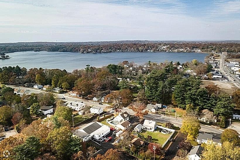
Stay in the eastern district near Tiogue Lake for proximity to highway access and services. Stay in the western rural areas for quiet access to hiking trails and nature preserves.
Local Cost Index
1 Espresso: USD 4.00
1 Standard Lunch: USD 16.00
1 Bus Ticket: USD 2.00
Nearby Day Trips
Providence, RI (25 km)
Newport, RI (45 km)
Mystic, CT (40 km)
Scituate Reservoir, RI (12 km)
Facts & Legends
Coventry was the home of Nathanael Greene, George Washington’s second-in-command during the Revolutionary War. Local legend tells of the "Black Steed of the Pawtuxet," a spectral horse said to gallop along the riverbanks near the old mills during the autumn harvest moon, a tale originating from the era of the early industrial mill workers.