Landmark: Trestle Trail
City: Coventry
Country: USA Rhode Island
Continent: North America
Trestle Trail, Coventry, USA Rhode Island, North America
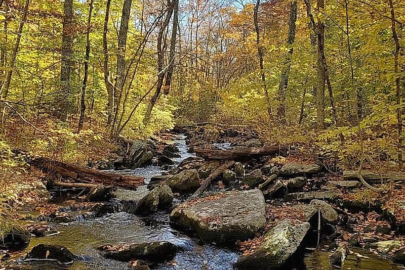
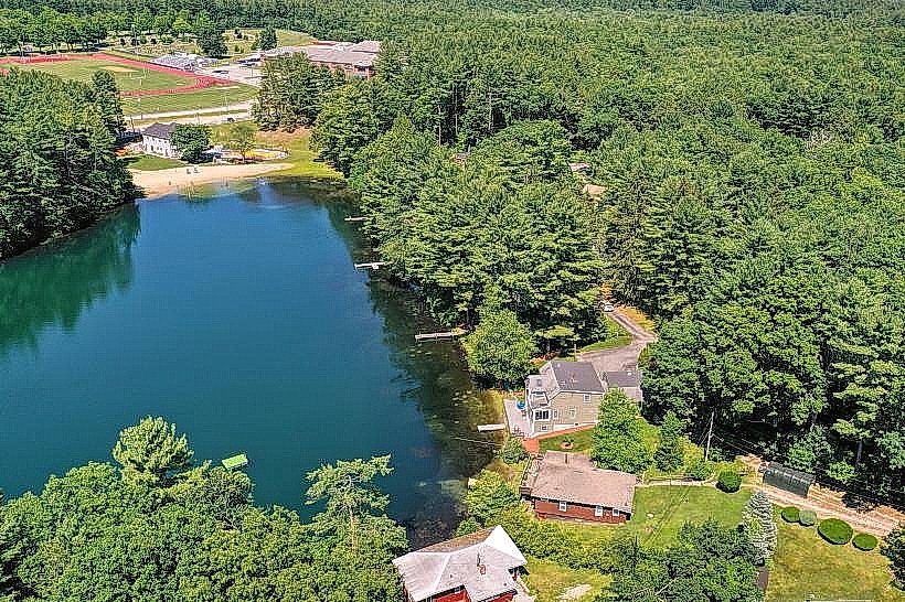
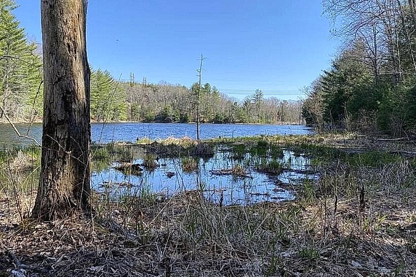
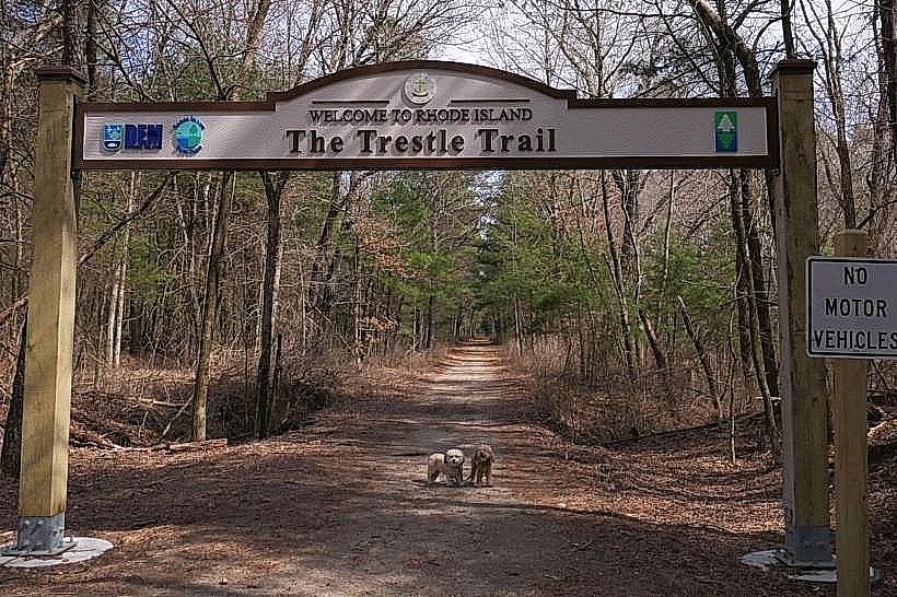
The Trestle Trail is a paved multi-use path constructed on a former railroad bed located in Coventry, Rhode Island. It extends for approximately 3.5 miles, connecting residential areas to the natural landscape of the Scituate Reservoir.
Visual Characteristics
The trail surface is primarily asphalt, measuring 10 feet in width. It traverses through mixed deciduous forest, with sections bordering the Scituate Reservoir. The path features several wooden bridges and culverts, with the most significant being the elevated trestle structure spanning a section of the reservoir. Vegetation density varies, offering both shaded and open areas.
Location & Access Logistics
The Trestle Trail can be accessed from multiple points. The primary trailhead is located at 100 Arnold Mills Road, Coventry, RI 02816, approximately 5 miles north of Coventry Center. Parking is available at this trailhead in a gravel lot with capacity for approximately 30 vehicles. Secondary access points exist at the end of Maple Street and near the Scituate Reservoir dam. Public transportation is not directly available to the trailheads; nearest bus routes operate in Coventry Center.
Historical & Ecological Origin
The trail follows the alignment of the former New York, New Haven and Hartford Railroad line, which ceased operations in the mid-20th century. The land was repurposed for recreational use, with the trail officially opening in the early 2000s. The surrounding ecosystem is characteristic of the northeastern deciduous forest biome, with the Scituate Reservoir being a significant man-made water body providing drinking water for Providence.
Key Highlights & Activities
Walking, jogging, and cycling are the primary activities. The elevated trestle section offers views of the Scituate Reservoir. Birdwatching is possible due to the forested environment. The trail is suitable for inline skating and cross-country skiing in winter conditions.
Infrastructure & Amenities
Restrooms are available at the Arnold Mills Road trailhead. There are no food vendors directly on the trail; nearest options are in Coventry Center. Cell phone signal (4G/5G) is generally available along most of the trail, though it may be intermittent in denser forest sections. Shade is provided by the tree canopy along much of the route.
Best Time to Visit
For photography, early morning or late afternoon light provides optimal illumination of the trestle and reservoir. Spring and Fall offer pleasant temperatures for outdoor activities, with peak foliage in October. Summer can be hot, with midday sun exposure on open sections. The trail is accessible year-round, weather permitting.
Facts & Legends
The Scituate Reservoir, which the trail borders, is the largest body of water in Rhode Island and was created by the construction of the Scituate Dam, completed in 1928. The reservoir's creation displaced several small communities, the remnants of which are now submerged. A local anecdote suggests that on exceptionally clear days, the faint outlines of submerged structures can be seen from the reservoir's edge.
Nearby Landmarks
- Scituate Reservoir Dam (0.8km West)
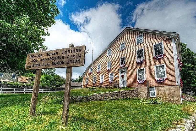
- Arnold Mills Historic District (0.2km South)
- Blackstone River Greenway (4.5km East)
- Diamond Hill State Park (4.0km Northeast)