City: Portsmouth RI
Country: USA Rhode Island
Continent: North America
Portsmouth RI, USA Rhode Island, North America
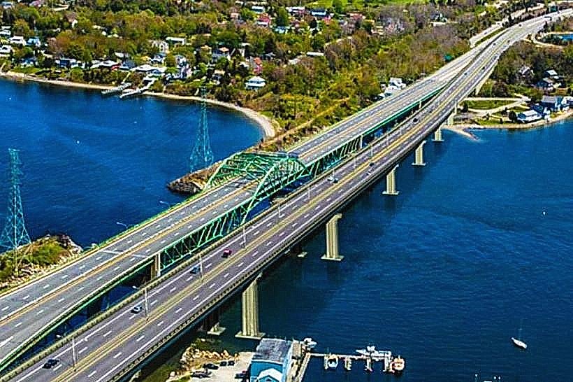
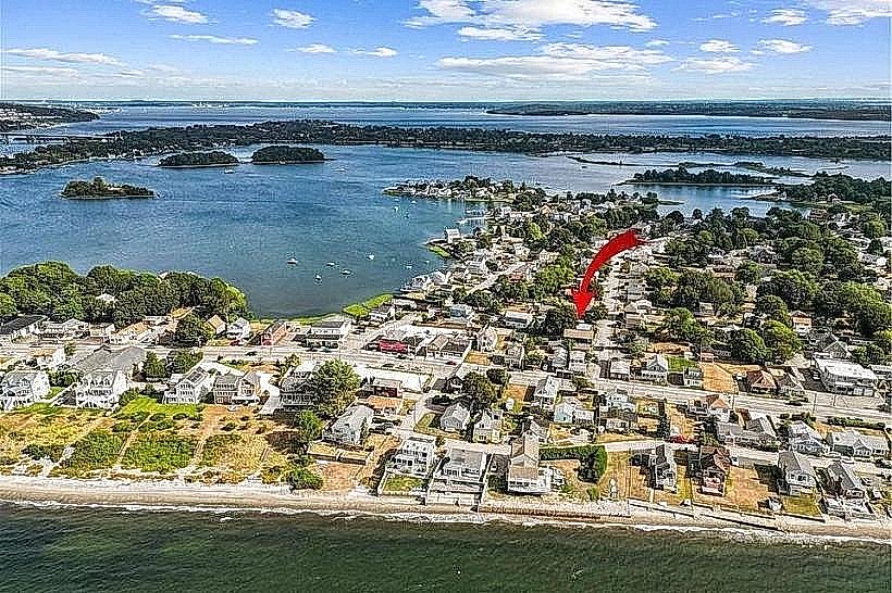
Portsmouth is a coastal town occupying the northern portion of Aquidneck Island, as well as several smaller islands including Prudence, Patience, and Hope Islands. It serves as a primary residential and maritime link between the Newport metropolitan area and the mainland via the Sakonnet River and Mount Hope Bridges.
Historical Timeline
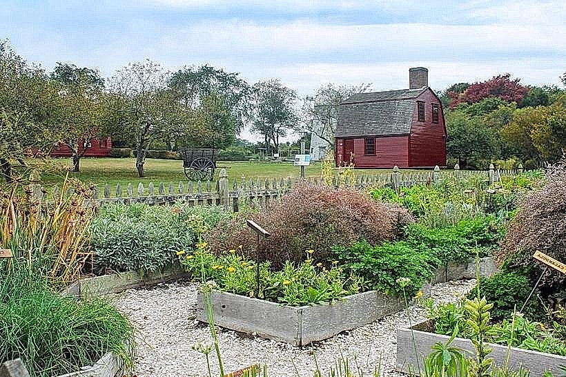
Founded in 1638 by Anne Hutchinson and other dissenters from the Massachusetts Bay Colony, Portsmouth is the second-oldest municipality in Rhode Island. It transitioned through a colonial agrarian phase, a period of British occupation during the American Revolution (1776–1779), and a 19th-century industrial expansion involving coal mining. The 1929 completion of the Mount Hope Bridge and the 1956 construction of the original Sakonnet River Bridge finalized its transition from an agricultural community to a strategic transit and suburban hub.
Demographics & Population
The total population is approximately 17,871. The top three ethnic demographics are White (91.2%), Hispanic or Latino (3.1%), and Two or More Races (2.8%). The median age is 48.2 years.
Urban Layout & Key Districts
The town is organized around two primary north-south arteries: East Main Road (Route 138) and West Main Road (Route 114). The Island Park/Hummocks district (Northeast) is a densely populated coastal neighborhood, while the Melville district (West) serves as a maritime industrial and naval support hub. Prudence Island (West) is a semi-isolated residential enclave accessible only by ferry.
Top City Landmarks
Founder's Brook Park (Anne Hutchinson Memorial)
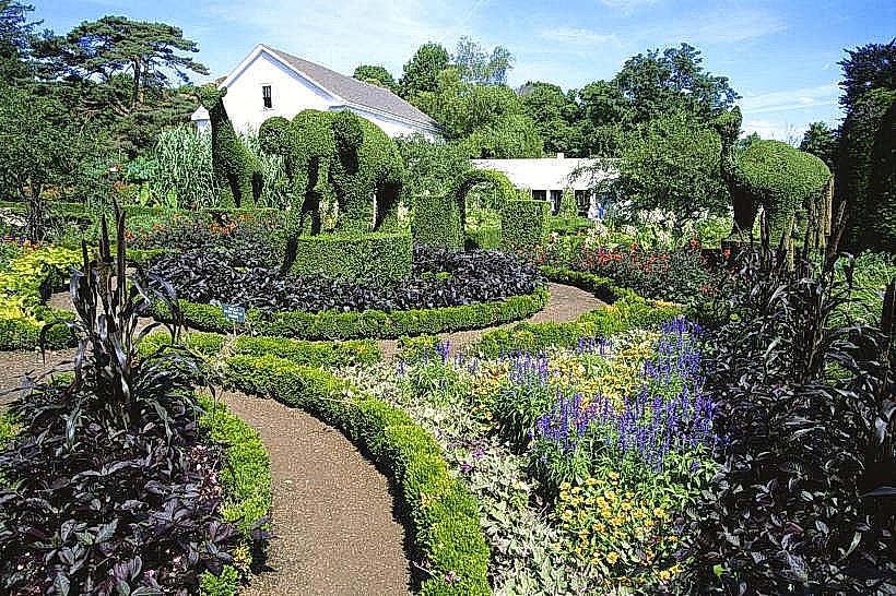
Glen Park
Portsmouth Abbey School (Pietro Belluschi architecture)
Lehigh Hill Park
Transportation Network
Movement is primarily facilitated by private vehicles. The Rhode Island Public Transit Authority (RIPTA) Route 60 provides frequent bus service between Newport and Providence. No metro or tram systems exist. Uber and Lyft are available but have lower density than in neighboring Newport. Taxis are typically dispatched from Newport or Bristol. Traffic density peaks at the Mount Hope Bridge and the Route 24/Route 114 interchange.
Safety & "Red Zones"
The safety level is high. There are no identified "red zones" or neighborhoods to avoid. Violent crime rates are significantly lower than the national average.
Digital & Financial Infrastructure
Average internet speed is 300+ Mbps via Cox or Verizon. Primary mobile carriers are Verizon, AT&T, and T-Mobile. Card acceptance is universal. ATMs are located in major shopping plazas on East Main Road and West Main Road.
Climate & Air Quality
Winter temperatures range from -5°C to 4°C; summer temperatures range from 18°C to 28°C. Air quality is high due to consistent coastal breezes. The town is susceptible to high-wind events and flooding during Nor'easters and Atlantic hurricanes.
Culture & Social Norms
Tipping is expected at 18–20% in service industries. Social greetings are informal and direct. Dress code is casual, often influenced by maritime or equestrian activities. Public smoking is prohibited in state and town parks.
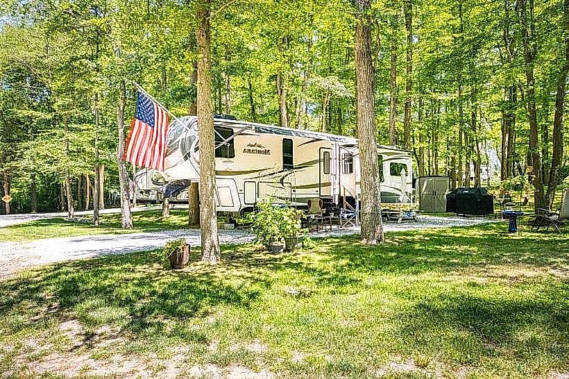
Accommodation Zones
Stay in the Common Fence Point area for coastal views and proximity to the Mount Hope Bridge. Stay near the Carnegie Abbey area for luxury maritime access and golf facilities.
Local Cost Index
1 Espresso: USD 4.00
1 Standard Lunch: USD 16.00 – 22.00
1 Bus Ticket: USD 2.00 (RIPTA)
Nearby Day Trips
Bristol, RI (5 km)
Newport, RI (12 km)
Providence, RI (35 km)
Fall River, MA (15 km)
Facts & Legends
Portsmouth was the site of the Battle of Rhode Island in 1778, the only land engagement of the Revolution involving the First Rhode Island Regiment, the first African American military unit. Local folklore persists regarding "The Hessian Hole," a mass grave site for Hessian mercenaries killed during the battle, which is allegedly the site of supernatural occurrences.