Landmark: Admiralty Island National Monument
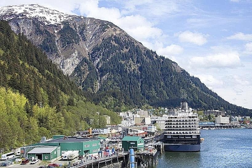
City: Juneau
Country: USA Alaska
Continent: North America
Admiralty Island National Monument, Juneau, USA Alaska, North America
Admiralty Island National Monument is a protected area located in Southeast Alaska, USA, managed by the U.S. Forest Service.
It is the third-largest island in the United States and is characterized by its dense temperate rainforest and significant brown bear population.
Visual Characteristics
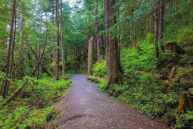
The island is predominantly covered by old-growth temperate rainforest, featuring Sitka spruce, western hemlock, and western red cedar. The terrain is mountainous, with elevations reaching over 3,000 feet. Numerous rivers and streams traverse the island, flowing into saltwater fjords and bays. Coastlines consist of rocky shores and some gravel beaches. The waters surrounding the island are part of the Inside Passage, exhibiting typical marine colors influenced by depth and sediment.
Location & Access Logistics
Admiralty Island National Monument is situated approximately 40 miles southwest of Juneau, Alaska. Access is primarily via floatplane or boat. Scheduled floatplane services operate from Juneau to various points on the island, including Pack Creek and Thayer Lake. Private boat charters are also a common method of access, with docking facilities limited to specific locations like Pack Creek. There are no roads or vehicle access points directly into the monument from Juneau. Parking is available at Juneau's floatplane docks and marinas.
Historical & Ecological Origin
Admiralty Island was designated a National Monument in 1978 under the Alaska National Interest Lands Conservation Act (ANILCA). Ecologically, it is a remnant of the ancient temperate rainforest that once covered much of the Pacific Northwest. The island's isolation has contributed to its status as a critical habitat for brown bears (Ursus arctos), which are among the largest in North America. It is also a significant breeding ground for bald eagles.
Key Highlights & Activities
Observation of brown bears, particularly at Pack Creek during salmon spawning season (July-September). Hiking on designated trails, such as the Pack Creek Trail. Kayaking and boating in the island's fjords and bays. Wildlife viewing, including marine mammals and diverse bird species. Photography of the natural landscape and wildlife.
Infrastructure & Amenities
Limited infrastructure exists within the monument. Designated campsites are available at Pack Creek, requiring reservations. Basic bear-resistant food caches are provided at some locations. Restrooms are not generally available outside of designated camping areas. Cell phone signal is unreliable and generally absent throughout most of the monument. No food vendors are present within the monument boundaries; visitors must bring all supplies.
Best Time to Visit
For bear viewing, the optimal period is from July through September, coinciding with the salmon runs. Mid-day offers the most active bear viewing at Pack Creek. For hiking and general exploration, the months of June through September provide the most favorable weather conditions, with longer daylight hours. High tide is generally preferred for coastal exploration and kayaking.
Facts & Legends
Admiralty Island is home to one of the highest densities of brown bears in the world. A specific management plan is in place at Pack Creek to ensure safe viewing distances between humans and bears. Local Tlingit legend speaks of the "Kootznoowoo," a mythical giant bear said to inhabit the island.
Nearby Landmarks
- Juneau Icefield (20km Northwest)
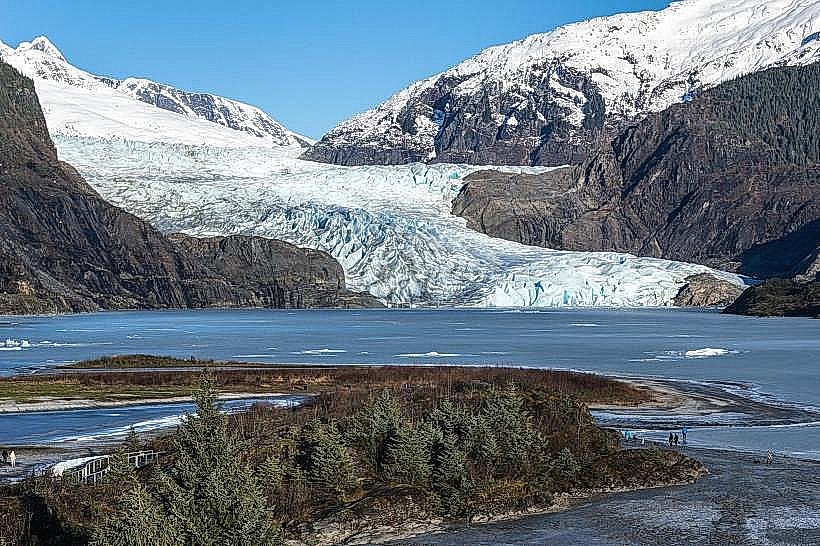
- Mendenhall Glacier (35km Northeast)
- Tracy Arm Fjord (45km Southeast)
- Glacier Bay National Park and Preserve (70km Southwest)