Landmark: Antietam National Battlefield
City: Frederick
Country: USA Maryland
Continent: North America
Antietam National Battlefield, Frederick, USA Maryland, North America
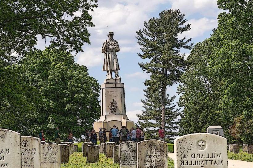
Antietam National Battlefield is a preserved Civil War battlefield located in Washington County, Maryland. It commemorates the Battle of Antietam, fought on September 17, 1862.
Visual Characteristics
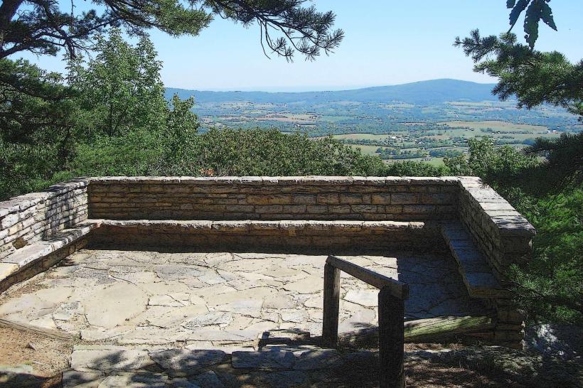
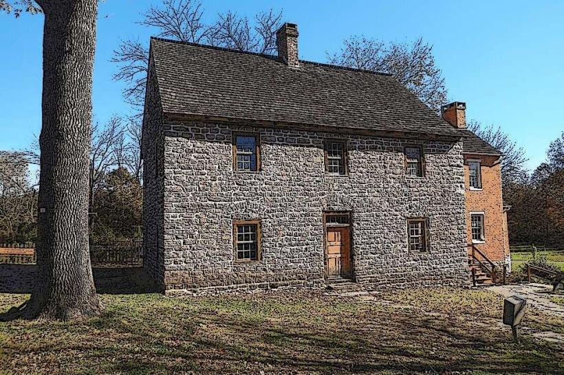
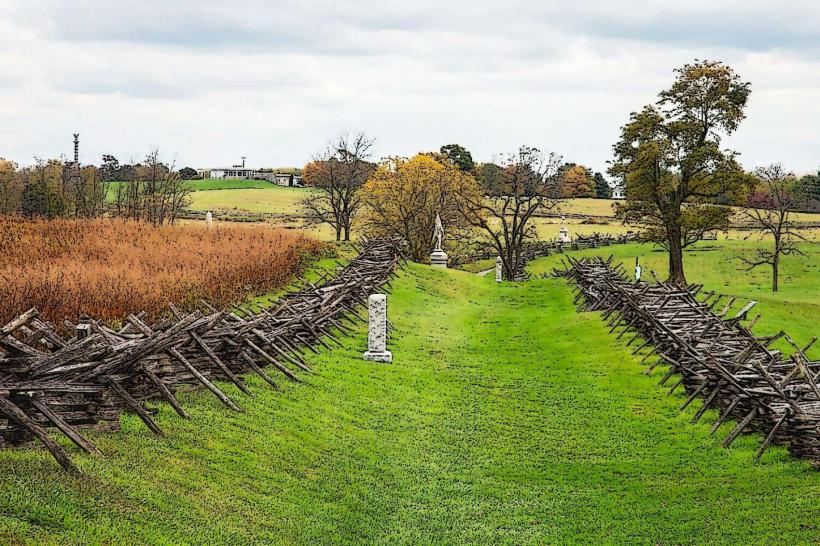
The battlefield landscape consists of rolling farmland, wooded areas, and open fields. Key structures include preserved farmhouses, stone walls, and monuments. The terrain features gentle slopes and shallow ravines. The Antietam Creek runs through the central portion of the battlefield.
Location & Access Logistics
The battlefield is situated approximately 10 miles west of Frederick, Maryland, accessible via US Route 340. From Frederick, take I-70 West to exit 49 for US-340 West towards Sharpsburg. The main visitor center is located at 5831 Dunker Church Road, Sharpsburg, MD 21782. Ample parking is available at the visitor center and designated pull-offs throughout the battlefield. Public transportation options are limited; private vehicle is the primary mode of access.
Historical & Ecological Origin
Antietam National Battlefield preserves the site of the Battle of Antietam, the first major battle of the American Civil War fought on Union soil. The battle occurred on land that was primarily agricultural at the time. The geological features, including the creek and topography, played a significant role in the battle's progression. The area is part of the Piedmont physiographic province.
Key Highlights & Activities
Visitors can drive the 8.5-mile auto tour route, stopping at interpretive points. Specific sites include the Dunker Church, the Cornfield, Bloody Lane, and Burnside Bridge. Ranger-led programs are offered seasonally. Hiking trails are available, including sections of the original battle lines. Photography is permitted at all locations.
Infrastructure & Amenities
Restrooms are available at the visitor center and at several designated stops along the auto tour. Shaded areas are present at some picnic sites and within wooded sections. Cell phone signal (4G/5G) is generally available but can be intermittent in certain low-lying areas. No food vendors are located within the battlefield; visitors should bring their own provisions or utilize facilities in nearby Sharpsburg or Frederick.
Best Time to Visit
For optimal lighting for photography, early morning (7:00 AM - 9:00 AM) and late afternoon (4:00 PM - 6:00 PM) offer softer light. The best months for weather are typically April through October, with mild temperatures. No tide considerations apply.
Facts & Legends
The Battle of Antietam remains the single bloodiest day in American history, with over 23,000 casualties. A specific point of interest is the "Shearer Farm," where Union soldiers used the barn as a temporary hospital, and evidence of bullet impacts remains visible on the structure.
Nearby Landmarks
- C&O Canal National Historical Park (0.8km West)
- Harpers Ferry National Historical Park (8.2km Southwest)
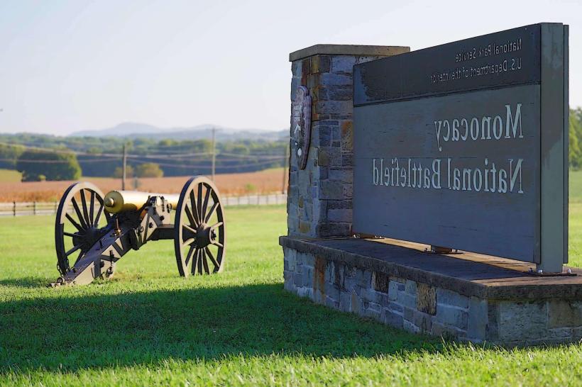
- Monocacy National Battlefield (35.5km East)
- Frederick Historic District (16.1km East)