Information
Landmark: Harpers Ferry National Historical ParkCity: Frederick
Country: USA Maryland
Continent: North America
Harpers Ferry National Historical Park, Frederick, USA Maryland, North America
Harpers Ferry National Historical Park is a preserved historical and natural site located at the confluence of the Potomac and Shenandoah Rivers in West Virginia, Maryland, and Virginia. It preserves the historic town of Harpers Ferry and surrounding natural landscapes.
Visual Characteristics
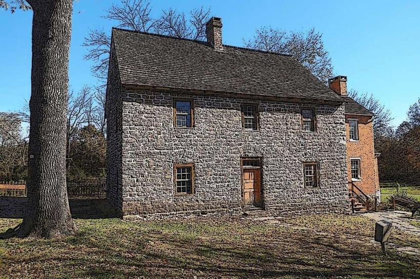
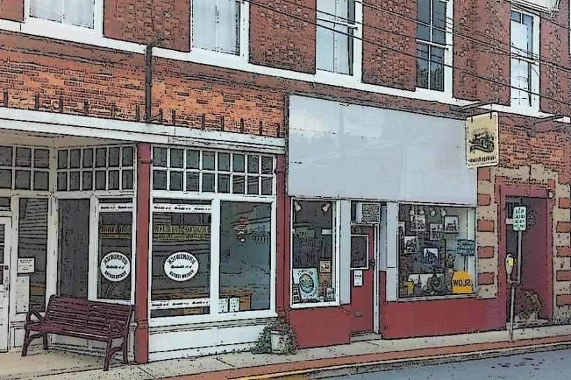
The park features a historic town with 19th-century brick and stone buildings, many of which are restored to their original appearance. The landscape is characterized by steep, wooded hillsides, the confluence of two major rivers, and the Chesapeake and Ohio Canal. Rock formations are primarily sedimentary and metamorphic.
Location & Access Logistics
Harpers Ferry is accessible via U.S. Route 340. The park entrance is approximately 70 miles west of Washington D.C. and 10 miles south of Frederick, Maryland. Parking is available in designated lots, with shuttle buses operating during peak seasons to transport visitors to the historic lower town. MARC Train service is available to the town of Harpers Ferry.
Historical & Ecological Origin
The town of Harpers Ferry was established in 1763. It gained national prominence due to its strategic location and its role in John Brown's 1859 raid on the federal armory. The park preserves structures related to the armory, the C&O Canal, and Civil War history. Ecologically, the area is part of the Appalachian Ridge-and-Valley province, shaped by river erosion and geological uplift.
Key Highlights & Activities
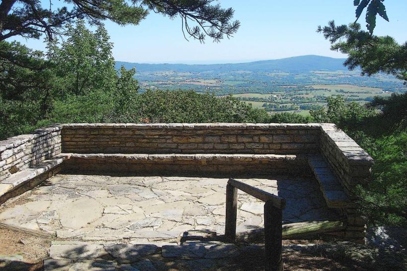
Activities include exploring the historic lower town, visiting the National Park Service Visitor Center, touring the John Brown's Fort museum, and walking portions of the Chesapeake and Ohio Canal Towpath. Hiking trails such as the Maryland Heights Trail and the Loudoun Heights Trail offer elevated views of the confluence. Ranger-led programs are offered seasonally.
Infrastructure & Amenities
Restrooms are available in the historic lower town and at the visitor center. Limited shade is provided by trees in the historic district and along some trails. Cell phone signal (4G/5G) is generally available in the town and on higher elevations, but can be intermittent within deep ravines. Food vendors and small shops are located within the historic lower town.
Best Time to Visit
For photography, early morning or late afternoon light provides optimal illumination of the historic buildings and river valleys. The best months for weather are typically April through October, offering mild temperatures suitable for outdoor activities. High tide is not a significant factor for park access, but river levels can influence visibility and accessibility of certain riverside trails.
Facts & Legends
A notable historical oddity is the presence of the U.S. Armory and Arsenal at Harpers Ferry, which produced firearms for the U.S. military. A "secret" tip for visitors is to explore the less-trafficked trails on Maryland Heights for expansive views of the confluence, often with fewer crowds than the main overlooks.
Nearby Landmarks
- Chesapeake and Ohio Canal National Historical Park (0km West)
- Maryland Heights (0.5km North)
- Jefferson Rock (0.2km South)
- Bolivar Heights Battlefield (2km West)
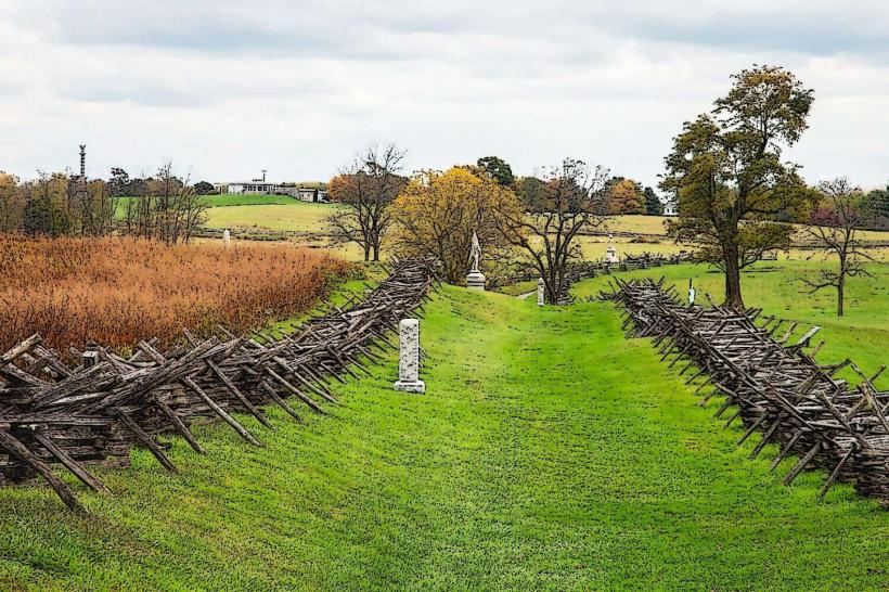
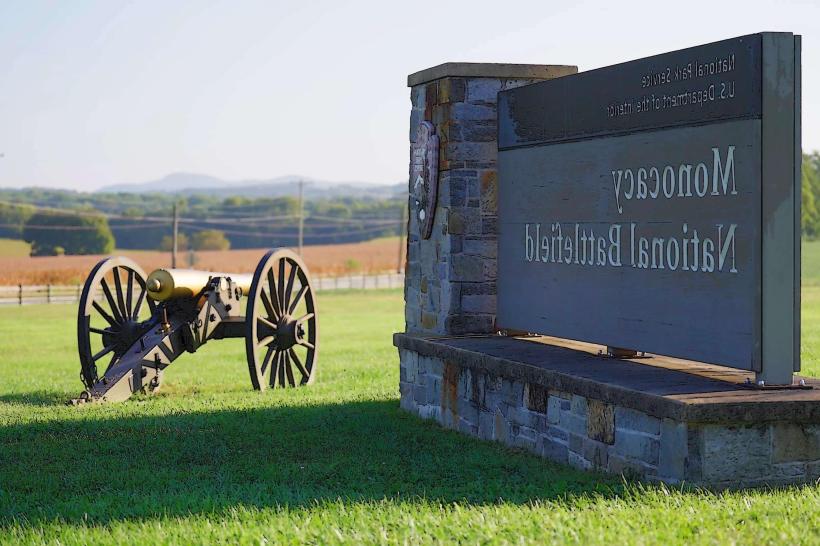
- Antietam National Battlefield (15km Northwest)