Information
Landmark: Maryland Heights TrailCity: Frederick
Country: USA Maryland
Continent: North America
Maryland Heights Trail, Frederick, USA Maryland, North America
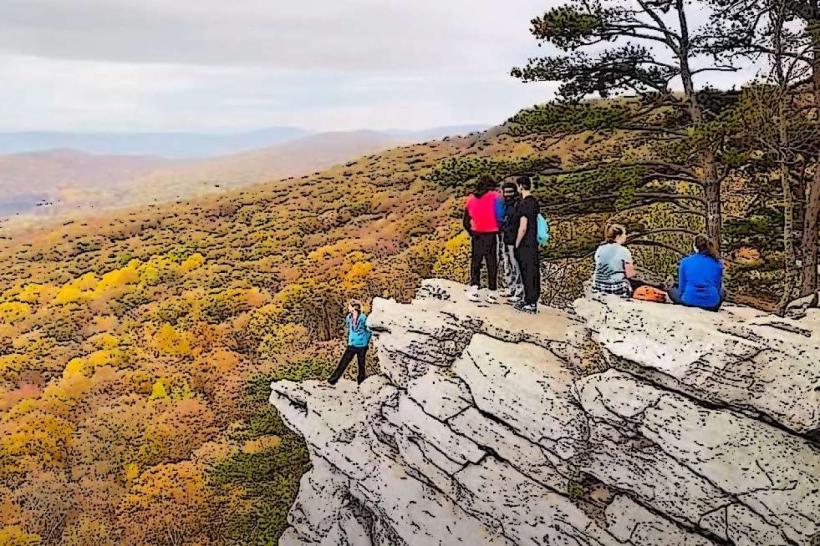
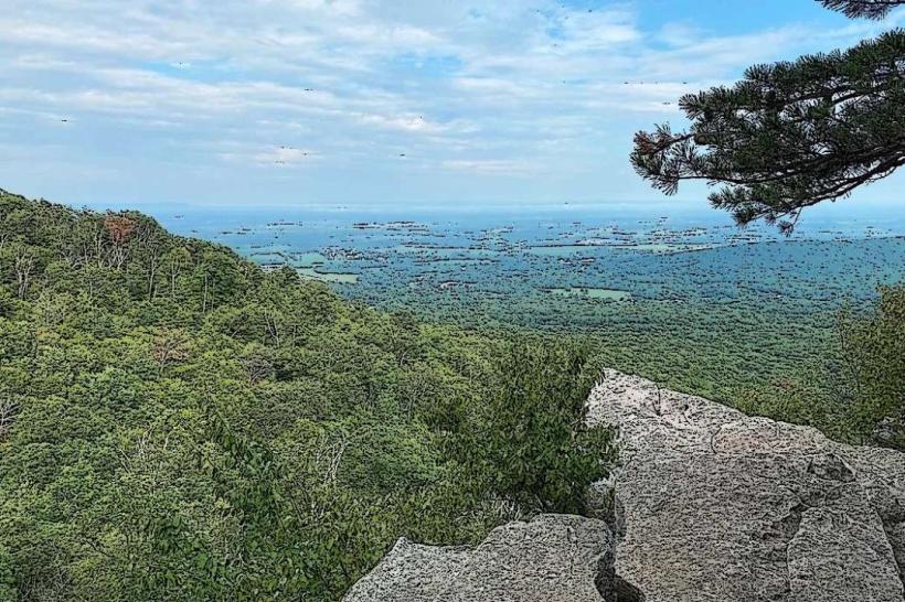
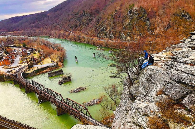
The Maryland Heights Trail is a hiking route located in Frederick, Maryland, USA. It provides access to historical fortifications and panoramic views of the surrounding landscape.
Visual Characteristics
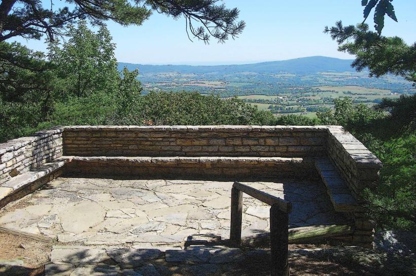
The trail itself is primarily a dirt path, varying in width from 1 to 3 meters. It traverses deciduous forest, characterized by oak, maple, and hickory trees. The terrain is uneven, with exposed roots and rocks. At higher elevations, the path opens to rocky outcrops offering clear sightlines. The historical fortifications are constructed from rough-hewn stone, exhibiting signs of weathering and erosion.
Location & Access Logistics
The primary trailhead is located off Maryland Route 180, approximately 5 kilometers west of downtown Frederick. Parking is available at the designated lot adjacent to the trailhead. Public transport options to the trailhead are limited; the nearest bus stop is located at the intersection of Route 180 and Jefferson Pike, requiring an additional 1.5km walk to the trailhead.
Historical & Ecological Origin
The Maryland Heights fortifications were constructed by Union forces during the American Civil War, primarily in 1863, as part of the defense of Harpers Ferry. The geological origin of the area is Appalachian foothills, characterized by sedimentary rock formations. The forest is a temperate deciduous woodland ecosystem.
Key Highlights & Activities
Hiking the main trail to the summit is the primary activity. Visitors can explore the remnants of Civil War earthworks and stone batteries. Photography of the landscape from the summit is possible. The trail is suitable for moderate hiking.
Infrastructure & Amenities
Restrooms are not available at the trailhead or along the trail. There is limited natural shade provided by the forest canopy. Cell phone signal (4G/5G) is intermittent and generally poor on the trail and at the summit. No food vendors are present at or near the trailhead.
Best Time to Visit
For optimal lighting for photography, early morning or late afternoon is recommended. The months of April through October offer the most favorable weather conditions for hiking. Winter months can present icy conditions on the trail.
Facts & Legends
A specific historical detail is the presence of the Confederate Breastworks, a significant defensive position constructed by Confederate troops. Local lore sometimes mentions phantom troop movements, though these are unsubstantiated.
Nearby Landmarks
- C&O Canal National Historical Park (2.5km Southeast)
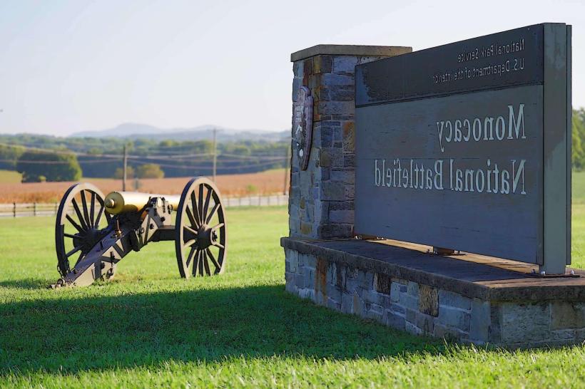
- Monocacy National Battlefield (12km East)
- Harpers Ferry National Historical Park (8km Southwest)
- Frederick Municipal Airport (7km Northeast)