Landmark: Anuta Island
City: Temotu Province
Country: Solomon Islands
Continent: Australia
Anuta Island, Temotu Province, Solomon Islands, Australia
Anuta Island is a small, inhabited coral atoll located in the Temotu Province of the Solomon Islands.
It is one of the easternmost islands of the Solomon Islands archipelago.
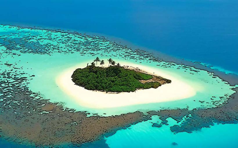
Visual Characteristics
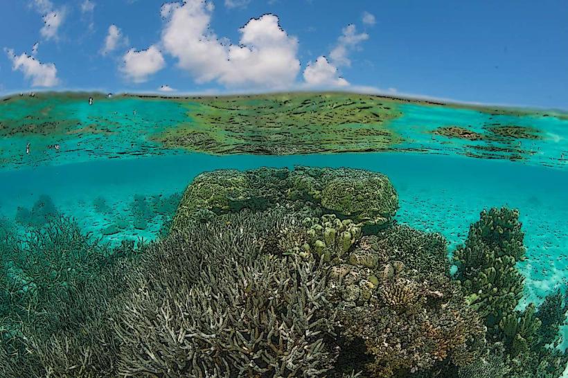
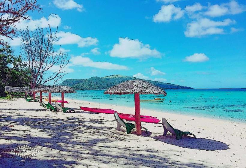
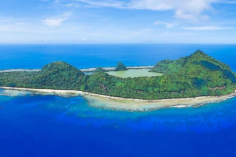
The island is a low-lying coral formation, approximately 0.5 km in diameter, surrounded by a fringing reef. The landmass consists of sandy beaches and a central lagoon. Vegetation is dense, primarily coconut palms and breadfruit trees, with a small village situated on the western side.
Location & Access Logistics
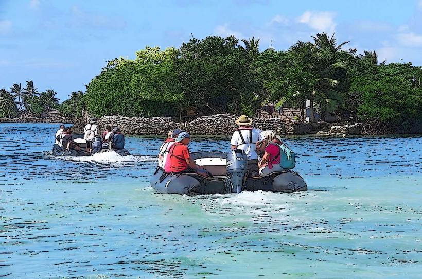
Anuta Island is situated approximately 300 km east of Tikopia Island. Access is primarily via infrequent supply boats from Honiara, the capital of the Solomon Islands, which may take several days. There are no regular ferry services. Local outrigger canoes are used for inter-island travel within the immediate vicinity, but Anuta itself is isolated. There is no airstrip or dedicated port facility; landings are dependent on sea conditions and are typically made on the beach.
Historical & Ecological Origin
Anuta is a volcanic island that has been modified by coral reef growth, forming its current atoll structure. It is believed to have been settled by Polynesian voyagers approximately 2,000 years ago. The island's ecological system is characterized by a limited freshwater lens and a marine environment supporting diverse reef fish populations.
Key Highlights & Activities
Activities include observing traditional Polynesian village life, participating in fishing expeditions (by arrangement with locals), and exploring the island's perimeter. Snorkeling is possible within the lagoon, subject to tidal conditions and reef accessibility. Limited hiking is available on the island's interior paths.
Infrastructure & Amenities
Basic village housing is present. There are no public restrooms or designated tourist facilities. Food is primarily sourced from local subsistence farming and fishing. Cell phone signal is generally unavailable. Shade is provided by the dense tree cover in the village area.
Best Time to Visit
The best time for visiting Anuta is during the dry season, typically from June to October, when sea conditions are more favorable for boat arrivals. High tide is generally preferred for beach landings. Photography is best in the early morning and late afternoon for softer light.
Facts & Legends
Anuta is known for its exceptionally high population density relative to its land area, a testament to its inhabitants' sophisticated resource management and social organization. Local tradition speaks of a time when the island was inhabited by spirits before the arrival of humans.
Nearby Landmarks
- Tikopia Island (300km Southwest)
- Utupua Island (250km West)
- Vanikoro Island (280km West)