Landmark: Duff Islands
City: Temotu Province
Country: Solomon Islands
Continent: Australia
Duff Islands, Temotu Province, Solomon Islands, Australia
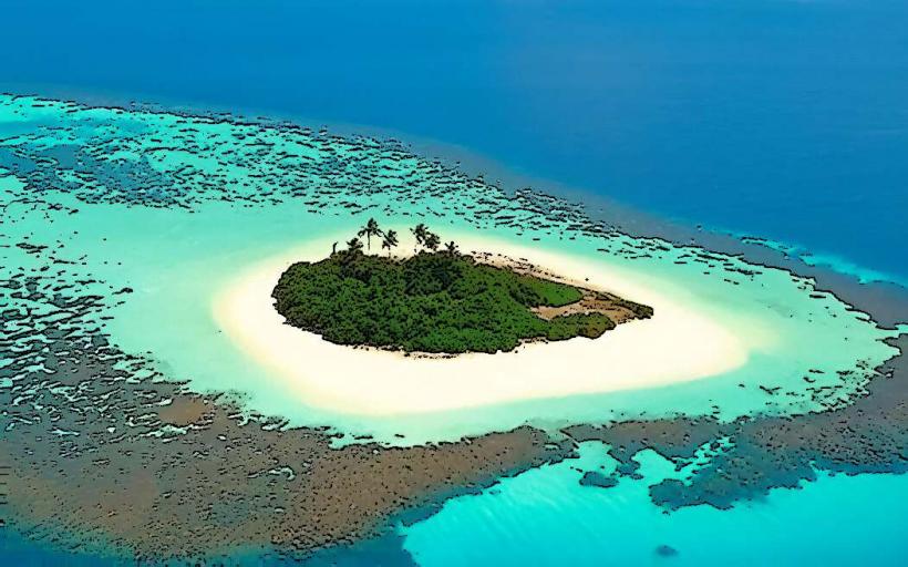
The Duff Islands are an archipelago located in the Temotu Province of the Solomon Islands. This island group is situated in the Pacific Ocean, east of the main Solomon Islands chain.
Visual Characteristics
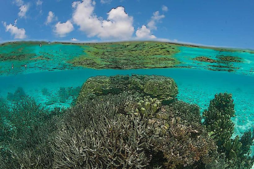
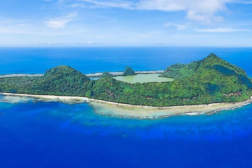
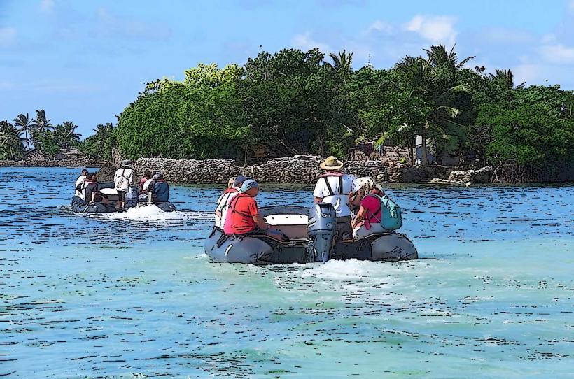
The islands are volcanic in origin, characterized by steep, jungle-covered slopes rising from the sea. The coastline features a mix of rocky shores and small, sandy coves. The surrounding ocean water is typically clear, with varying shades of blue and green.
Location & Access Logistics
The Duff Islands are approximately 200 kilometers east of the main island of Guadalcanal. Access is primarily via small aircraft landing on a grass airstrip on Ta'u Island, or by boat from the provincial capital, Lata, on Nendo Island (a journey of several hours, weather permitting). There are no established road networks or public transport between the islands. Local inter-island transport is by small boat.
Historical & Ecological Origin
The islands are believed to be of volcanic origin, formed by submarine volcanic activity. Historically, they were inhabited by Polynesian peoples, with evidence of early settlement dating back centuries. The islands form part of the broader Melanesian biogeographic region.
Key Highlights & Activities
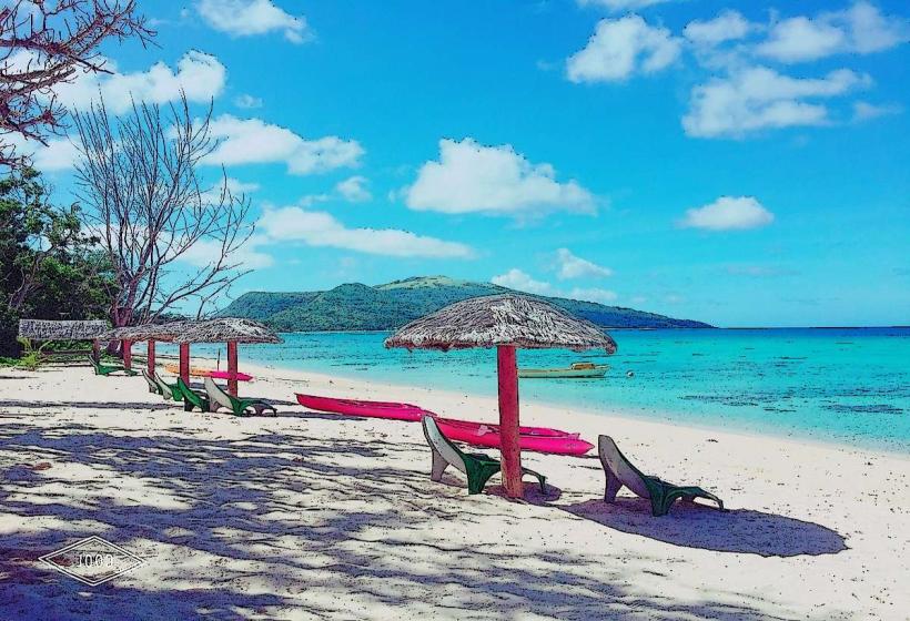
Activities include snorkeling and diving in the surrounding coral reefs, observing local village life, and exploring the dense vegetation. Hiking trails are not formally maintained but can be navigated with local guidance. Fishing is a common subsistence activity.
Infrastructure & Amenities
Basic amenities are limited. Some villages may have small shops selling essential goods. Restrooms are typically basic facilities within villages. Cell phone signal is unreliable and generally absent outside of the main village areas. Shade is available under the dense tree canopy. Food vendors are not a formal feature; meals are usually arranged through local hospitality.
Best Time to Visit
The dry season, from June to September, offers the most favorable weather conditions with reduced rainfall and calmer seas. The best time of day for underwater visibility is generally mid-morning to early afternoon, when sunlight penetration is optimal. High tide is preferable for accessing some of the smaller coves.
Facts & Legends
Local oral traditions speak of the islands being formed by the gods throwing rocks into the sea. A specific point of interest is the traditional canoe building practiced on the islands, utilizing local timber and techniques passed down through generations.
Nearby Landmarks
- Nendo Island (main island of Temotu Province) - 180km Southwest
- Utupua Island - 150km Southwest
- Vanikoro Island - 220km Southwest
- Santa Cruz Islands (main group) - 200km Southwest