Landmark: Pele Island
City: Temotu Province
Country: Solomon Islands
Continent: Australia
Pele Island, Temotu Province, Solomon Islands, Australia
Pele Island is a landmass situated within the Temotu Province of the Solomon Islands. It is an inhabited island characterized by its volcanic origins and surrounding coral reefs.
Visual Characteristics
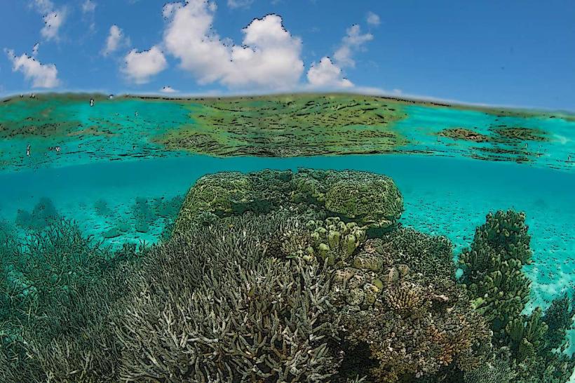
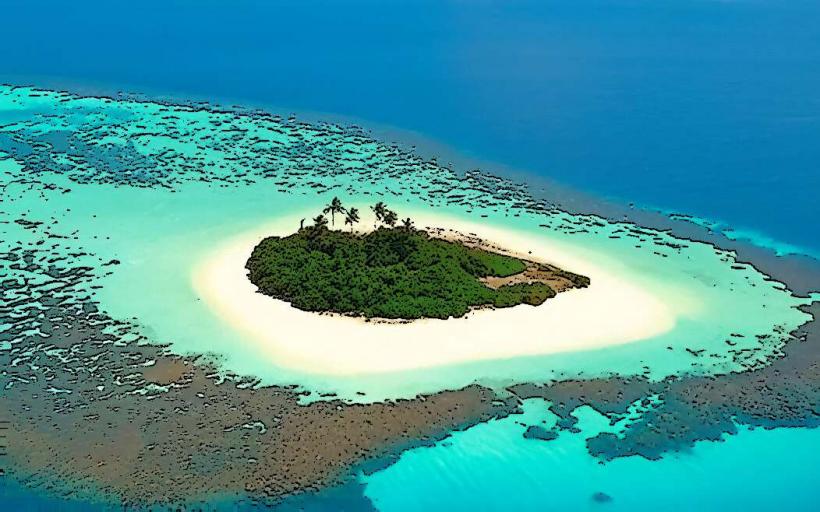
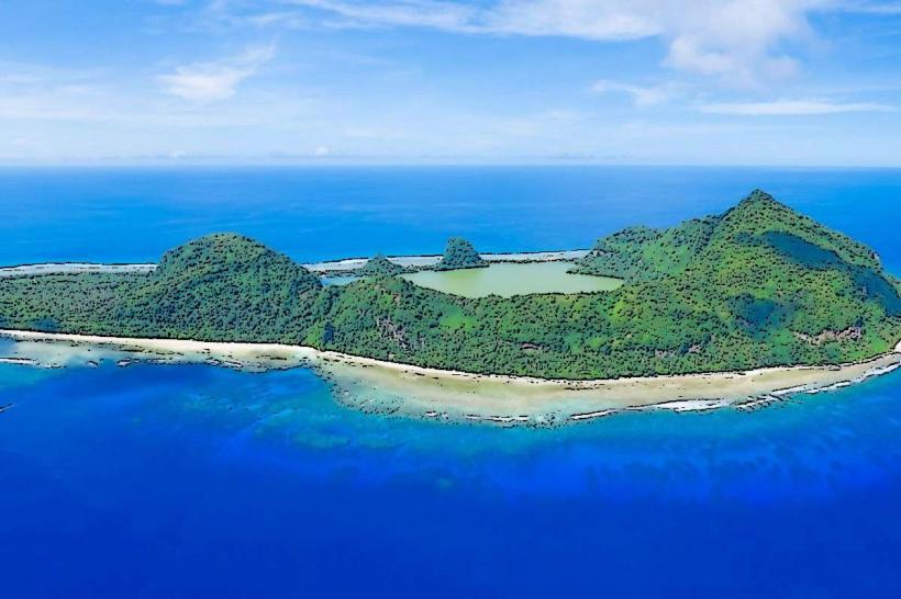
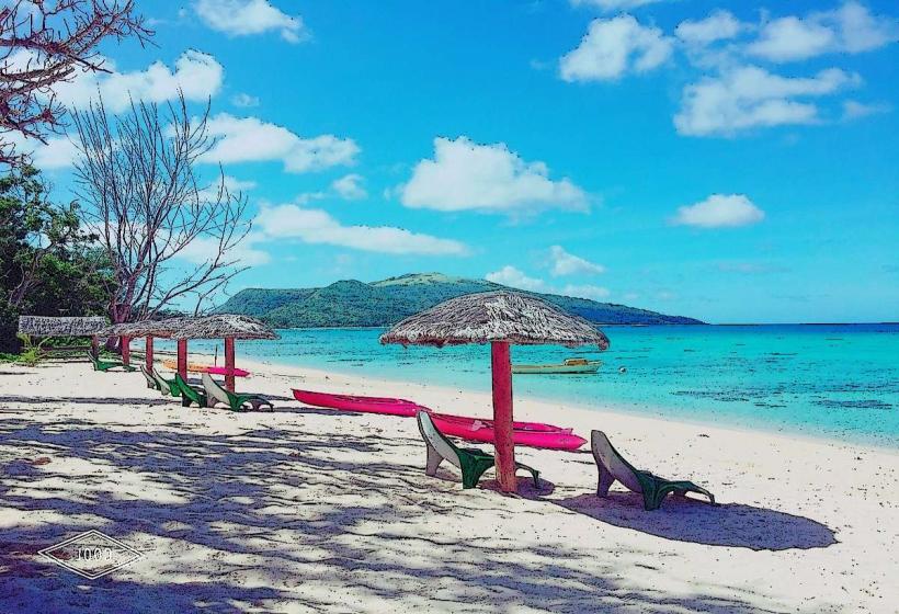
Pele Island is a low-lying island with a maximum elevation of approximately 10 meters above sea level. The island's coastline is primarily composed of coral sand beaches. Inland, the terrain is covered with dense tropical vegetation, including coconut palms and various hardwood trees. The surrounding waters exhibit clear turquoise coloration, transitioning to deeper blue further offshore.
Location & Access Logistics
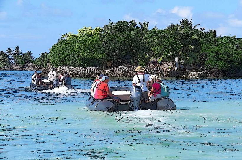
Pele Island is located approximately 15 kilometers east of the provincial capital, Lata, on Nendo Island. Access is exclusively via boat. Local boat operators can be hired in Lata for a transfer, which typically takes 30-45 minutes depending on sea conditions. There is no dedicated harbor; boats anchor offshore and passengers are ferried to the beach via smaller dinghies or by wading. No public transport services operate directly to Pele Island.
Historical & Ecological Origin
Pele Island is a volcanic island formed by past volcanic activity. Its current ecological state is a result of natural succession and human habitation over centuries. The island's fringing coral reefs are a significant ecological feature, supporting diverse marine life.
Key Highlights & Activities
Snorkeling and diving are possible around the coral reefs, particularly on the western and southern sides of the island. Visitors can observe local village life and interact with residents. Hiking trails are not formally established but informal paths exist through the vegetation. Fishing is a common activity for local inhabitants.
Infrastructure & Amenities
Basic amenities are available within the local village. These include a small number of locally run guesthouses offering simple accommodation. There are no public restrooms or designated shade structures outside of the village area. Cell phone signal is intermittent and generally unreliable. Food vendors are not present; visitors typically arrange meals with their accommodation providers or bring their own supplies.
Best Time to Visit
The dry season, from June to September, offers the most favorable weather conditions with reduced rainfall and calmer seas. The best time of day for underwater visibility is generally between 10:00 AM and 3:00 PM when sunlight penetration is optimal. High tide is preferable for easier boat access to the shore.
Facts & Legends
Local folklore suggests that Pele Island was once connected to Nendo Island, but a powerful sea spirit separated them. A specific tip for visitors is to arrange boat transfers in advance, especially during peak travel times, to ensure availability.
Nearby Landmarks
- Nendo Island (Lata) - 15km West
- Utupua Island - 40km Southwest
- Vanikoro Island - 70km South