Landmark: Ashley National Forest
City: Vernal
Country: USA Utah
Continent: North America
Ashley National Forest, Vernal, USA Utah, North America
Ashley National Forest is a protected area located in northeastern Utah, USA. It encompasses a significant portion of the Uinta Mountains and surrounding high desert terrain.
Visual Characteristics
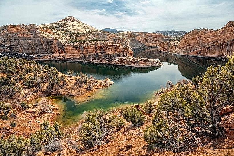
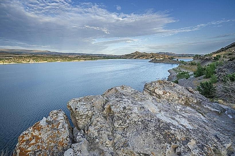
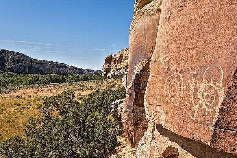
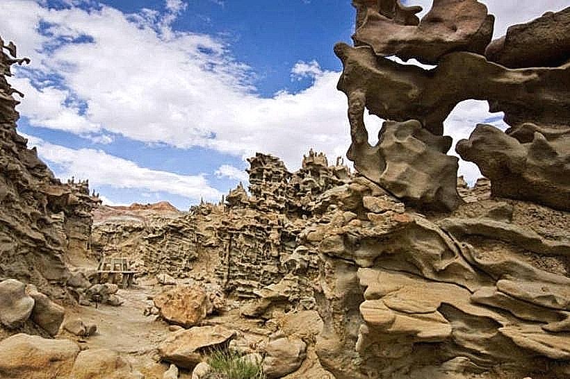
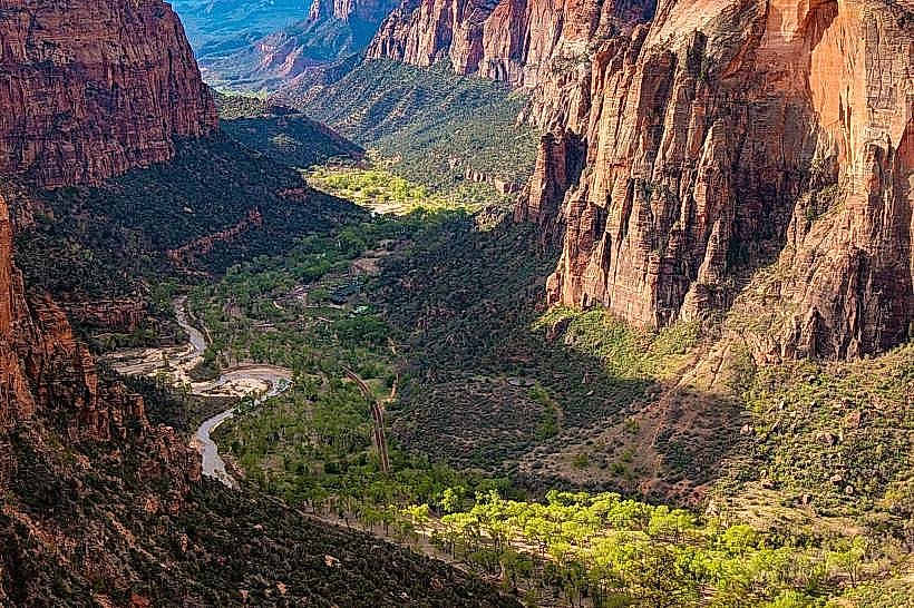
The forest exhibits varied topography, ranging from high alpine peaks exceeding 13,000 feet to arid desert canyons. Vegetation includes dense coniferous forests (pine, fir, spruce) at higher elevations, transitioning to sagebrush steppe and pinyon-juniper woodlands at lower altitudes. Numerous lakes and streams are present, with water clarity varying based on sediment load. Rock formations are predominantly sedimentary and metamorphic, displaying a range of colors from tan and grey to red and brown.
Location & Access Logistics
The forest is accessible from Vernal, Utah, approximately 20 miles to the south. Primary access routes include U.S. Route 191 (running north-south through the eastern portion) and State Route 44 (connecting to the western section). Several unpaved forest service roads provide access to interior areas; these are typically suitable for high-clearance vehicles. Limited public transport exists; visitors generally require personal vehicles. Parking is available at designated trailheads and campgrounds, with capacity varying by location.
Historical & Ecological Origin
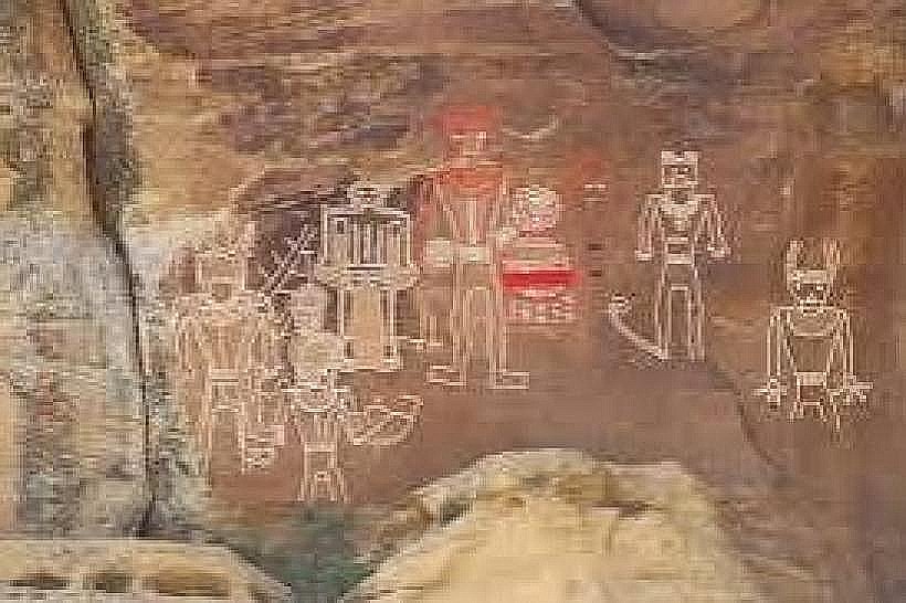
Established in 1908, Ashley National Forest was created to manage timber resources and protect watersheds. Its geological origins are complex, featuring ancient sedimentary layers uplifted and sculpted by glacial activity and erosion. The Uinta Mountains are the highest range in the contiguous United States running east-west. Ecologically, it represents a transition zone between the Great Basin and Rocky Mountain ecosystems.
Key Highlights & Activities
Hiking is available on over 1,000 miles of trails, including segments of the High Uintas Wilderness. Fishing is permitted in numerous lakes and streams, with species including trout. Boating and paddling are possible on reservoirs such as Flaming Gorge. Wildlife viewing opportunities exist for elk, deer, bighorn sheep, and various bird species. Camping is available at designated campgrounds.
Infrastructure & Amenities
Restrooms are available at major trailheads, campgrounds, and visitor centers. Shade is abundant in forested areas but limited in desert sections. Cell phone signal is intermittent and generally unavailable in remote areas. Limited food services and supplies are available at gateway communities; visitors should plan to be self-sufficient within the forest.
Best Time to Visit
The optimal period for visiting the higher elevations is from July through September, when snow has receded from trails and roads. Lower elevation areas are accessible year-round, though winter conditions can be severe. For photography, early morning and late afternoon light provides optimal illumination on rock formations and landscapes. High tide is not a relevant factor for this inland forest.
Facts & Legends
The Ashley National Forest contains the highest point in Utah, Kings Peak, at 13,528 feet. A local legend speaks of a large, elusive feline creature, sometimes referred to as a "mountain lion ghost," reportedly seen by prospectors in the late 19th century near the headwaters of the Duchesne River.
Nearby Landmarks
- Flaming Gorge National Recreation Area (0.1km West)
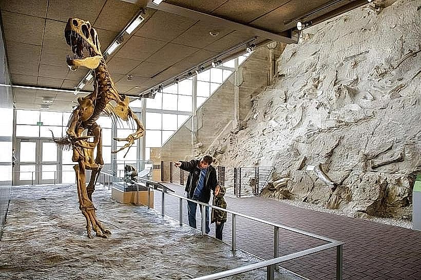
- Dinosaur National Monument (45km Southeast)
- Uintan National Forest (Adjacent, North)
- Red Fleet State Park (25km Southwest)
- Steinaker State Park (20km Southwest)