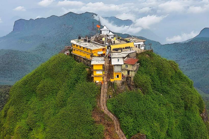
Landmark: Belihuloya
City: Ratnapura
Country: Sri Lanka
Continent: Asia
Belihuloya, Ratnapura, Sri Lanka, Asia
Belihuloya is a rural locality situated in the Ratnapura District of Sri Lanka. It is recognized for its natural environment and recreational opportunities.
Visual Characteristics
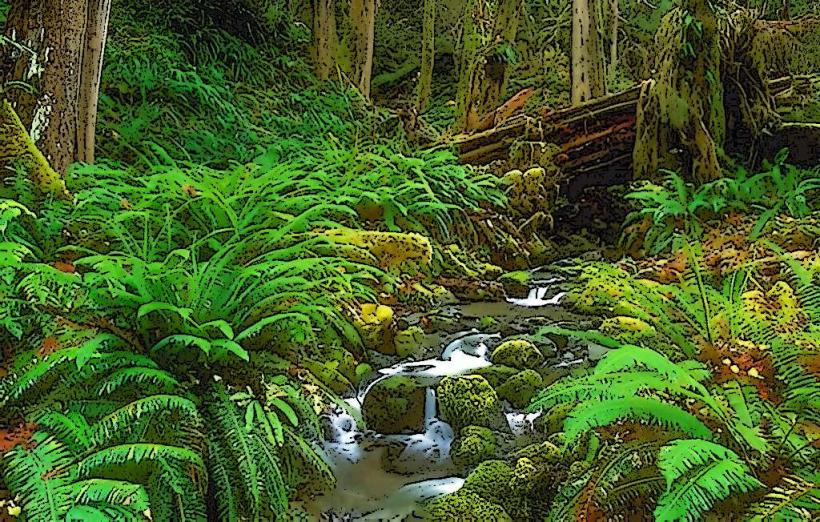
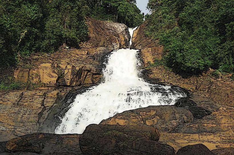
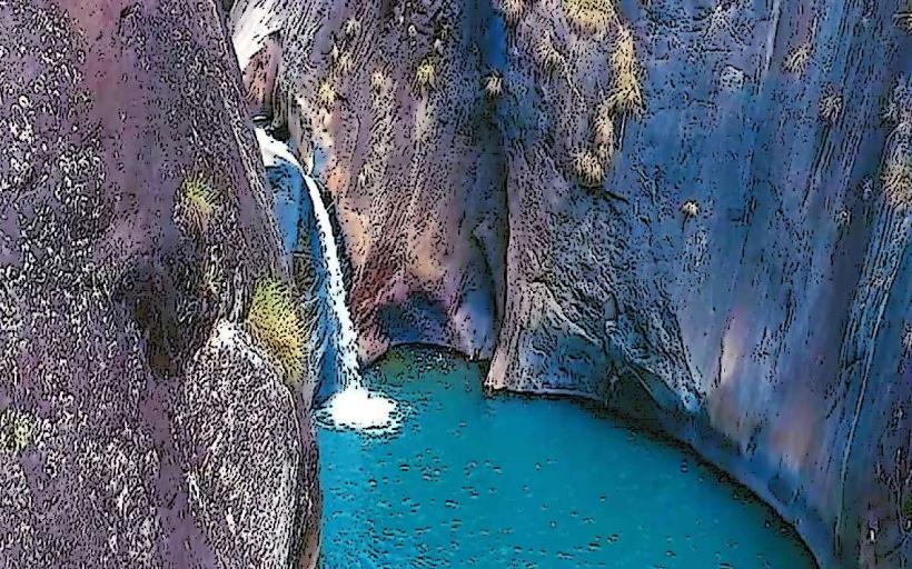
The landscape is characterized by rolling hills covered in dense tropical vegetation, including various tree species and shrubs. The Belihul Oya river flows through the area, with water color varying from clear to slightly brown depending on recent rainfall. Rock formations are present along the riverbanks and in the surrounding terrain. The elevation contributes to a cooler climate compared to coastal regions.
Location & Access Logistics
Belihuloya is located approximately 160 kilometers southeast of Colombo, the capital city. Access is primarily via the A4 highway, which passes through Ratnapura. From Ratnapura, continue on the A4 towards Pelmadulla and then follow signs for Belihuloya. The journey from Colombo typically takes 4-5 hours by car. Public transport options include intercity buses traveling towards Balangoda or Haputale that stop at Belihuloya junction. From the junction, local transport or a short walk is required to reach specific points of interest. Parking is available at designated areas near accommodation providers and activity centers.
Historical & Ecological Origin
The area's ecological origin is tied to the Sabaragamuwa Province's highland plateau, characterized by its biodiversity and watershed functions. Historically, the region has been utilized for agriculture, particularly paddy cultivation, and as a source of natural resources. The Belihul Oya river is a tributary of the Kalu Ganga, contributing to the island's river systems.
Key Highlights & Activities
Activities include hiking on marked trails such as the River Trail and the Waterfall Trail. Birdwatching is a common pursuit due to the diverse avian population. Kayaking and canoeing are available on the Belihul Oya river. Visitors can also engage in nature walks and observe local flora and fauna. Camping facilities are present in designated zones.
Infrastructure & Amenities
Basic amenities are available, including some guesthouses and eco-lodges offering accommodation. Restrooms are typically found at these establishments. Shade is provided by the natural tree canopy in many areas. Cell phone signal (4G) is generally available, though it can be intermittent in more remote sections of the trails. Food vendors are limited, with most dining options concentrated at accommodation sites or small roadside eateries.
Best Time to Visit
The best months for visiting are generally from December to March, which falls within the dry season, offering clearer skies and more stable weather for outdoor activities. The period from April to September can experience intermittent rainfall, which may affect trail conditions. For photography, early morning and late afternoon provide optimal lighting conditions due to the angle of the sun.
Facts & Legends
A local belief suggests that the waters of the Belihul Oya possess restorative properties. The area is also known for its significant population of endemic and migratory birds, making it a point of interest for ornithologists.
Nearby Landmarks
- Samanalawewa Reservoir (5km Southwest)
- Udawalawe National Park (35km South)
- Horton Plains National Park (40km Northeast)
- Sinharaja Forest Reserve (50km West)