Landmark: Bopath Ella Falls
City: Ratnapura
Country: Sri Lanka
Continent: Asia
Bopath Ella Falls, Ratnapura, Sri Lanka, Asia
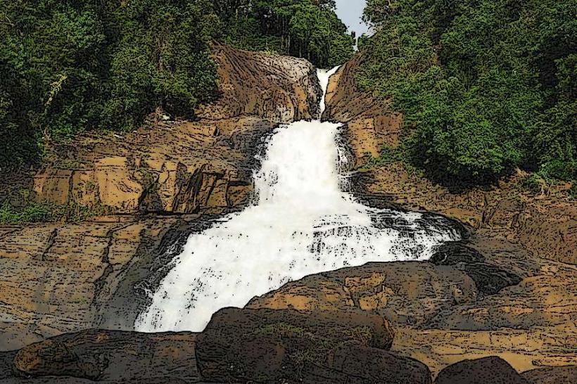
Bopath Ella Falls is a waterfall located in the Ratnapura District of Sri Lanka. It is characterized by its distinctive shape and the surrounding natural environment.
Visual Characteristics
The waterfall descends approximately 30 meters. Its primary feature is a narrow, curtain-like cascade that widens slightly at its base, resembling the shape of a lotus flower (Bopath in Sinhala). The water flows over dark, moss-covered rock formations. The surrounding vegetation is dense tropical rainforest, with a variety of trees and undergrowth.
Location & Access Logistics
Bopath Ella Falls is situated approximately 3 kilometers from the town of Kuruwita, which is about 15 kilometers north of Ratnapura city. Access is via the A4 highway. Turn off at Kuruwita onto the road signposted for Bopath Ella. Parking is available at a designated area near the waterfall's base. Public transport options include local buses traveling between Ratnapura and Kuruwita; from Kuruwita town, tuk-tuks or a short walk are feasible.
Historical & Ecological Origin
The waterfall is a natural geological formation, carved over millennia by the Kuru Ganga river. Its ecological classification is within a tropical rainforest biome, supporting diverse flora and fauna.
Key Highlights & Activities
Visitors can observe the waterfall from viewing platforms. Swimming is permitted in designated areas at the base of the falls, subject to water levels and safety conditions. Short walking trails are present around the immediate vicinity of the falls, offering different vantage points.
Infrastructure & Amenities
Restrooms are available near the entrance. Limited shaded areas are provided by natural tree cover. Cell phone signal (4G) is generally available. Small food stalls and vendors operate near the parking area, offering local snacks and beverages.
Best Time to Visit
The best time of day for photography is generally mid-morning or late afternoon when direct sunlight is less intense. The months of May to September typically offer the most consistent water flow due to monsoon rains. Water levels can be high and potentially hazardous during peak rainy seasons (May-June and October-November).
Facts & Legends
Local folklore suggests that the waterfall is a sacred site, with some believing it possesses healing properties. A specific tip for visitors is to wear footwear with good grip, as the rocks near the water can be slippery.
Nearby Landmarks
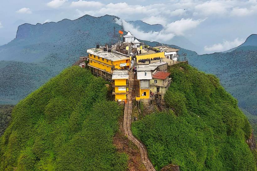
- Adam's Peak (Sri Pada) - 15km Northwest
- Kiriella Waterfall - 8km Southwest
- Ratnapura Gem Museum - 12km South
- Udawalawe National Park - 60km South