Landmark: Belle Fourche Reservoir
City: Belle Fourche
Country: USA South Dakota
Continent: North America
Belle Fourche Reservoir, Belle Fourche, USA South Dakota, North America
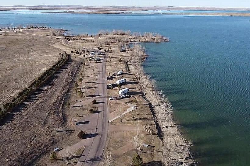
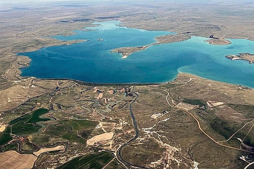
Belle Fourche Reservoir is a large man-made lake located in western South Dakota, USA. It serves as a primary water storage facility for the Belle Fourche Irrigation Project.
Visual Characteristics
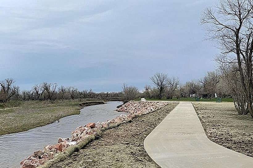
The reservoir's surface area varies with water levels, typically covering several thousand acres. The surrounding terrain consists of rolling prairie grasslands and exposed clay banks, particularly noticeable during low water periods. Water color ranges from a muddy brown to a greenish hue depending on sediment load and algal blooms.
Location & Access Logistics
Belle Fourche Reservoir is situated approximately 10 miles west of the city of Belle Fourche, South Dakota. Access is primarily via State Highway 79, turning west onto County Road 18 (also known as Reservoir Road). Several unimproved access points and boat ramps are located along the reservoir's perimeter. Parking is available at designated areas near the boat ramps; capacity varies. No public transport services reach the reservoir directly.
Historical & Ecological Origin
Construction of the Belle Fourche Dam, which impounds the reservoir, was completed in 1911. The dam was built by the U.S. Bureau of Reclamation as part of the Belle Fourche Irrigation Project, designed to provide water for agricultural lands in the region. The reservoir occupies a natural basin that was enlarged and controlled by the dam.
Key Highlights & Activities
Activities include boating, fishing for species such as walleye, northern pike, and perch, and shoreline camping. Designated areas allow for swimming. Birdwatching is also a common activity due to the presence of waterfowl and shorebirds.
Infrastructure & Amenities
Basic amenities are present at some access points, including boat ramps and primitive camping sites. Restrooms are limited and may not be available at all locations. Shade is minimal, primarily found in the form of natural vegetation along some shorelines. Cell phone signal is intermittent and generally weak across the reservoir area.
Best Time to Visit
The best months for visiting are typically May through September, offering warmer weather suitable for water activities. Mid-morning to late afternoon provides adequate daylight for most activities. Fishing is often productive during early morning and late evening hours.
Facts & Legends
The reservoir's water levels are directly managed by the Bureau of Reclamation for irrigation purposes, meaning its size can fluctuate significantly throughout the year based on agricultural demand and precipitation. A local anecdote suggests that during exceptionally dry years, the exposed clay banks reveal remnants of older geological formations.
Nearby Landmarks
- Belle Fourche City Park (10km East)
- Bear Butte State Park (35km Southeast)
- Redwater River Recreation Area (15km Southwest)
- Devils Tower National Monument (Wyoming) (50km West)