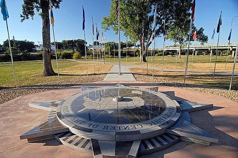
Landmark: Center of the Nation Monument
City: Belle Fourche
Country: USA South Dakota
Continent: North America
Center of the Nation Monument, Belle Fourche, USA South Dakota, North America
The Center of the Nation Monument is a granite obelisk located in Belle Fourche, South Dakota, USA. It marks the geographic center of the United States.
Visual Characteristics
The monument is a 21-foot tall granite obelisk. It stands on a circular concrete base. The obelisk is grey granite. The base is white concrete.
Location & Access Logistics
The monument is situated 3 miles northwest of Belle Fourche, South Dakota. Access is via US Highway 85 North. Turn west onto a gravel road marked with a sign for the "Geographic Center of the U.S." The gravel road is approximately 0.5 miles long. Parking is available on a gravel lot adjacent to the monument. No public transport services this location.
Historical & Ecological Origin
The monument was dedicated on June 4, 1973. It was erected by the Belle Fourche Chamber of Commerce. The site was determined to be the geographic center of the United States based on calculations that included Alaska and Hawaii.
Key Highlights & Activities
Visitors can stand at the base of the monument. Photographs can be taken at the site. A small plaque details the monument's purpose.
Infrastructure & Amenities
There are no restrooms or shade structures at the monument site. Cell phone signal is intermittent. No food vendors are present at the monument. The nearest amenities are in Belle Fourche.
Best Time to Visit
For optimal lighting conditions for photography, early morning or late afternoon is recommended. The months of May through October offer the most favorable weather conditions, with less chance of snow or extreme cold.
Facts & Legends
The monument's location is based on a calculation that includes the 50 states. If only the contiguous 48 states were considered, the geographic center would be located in Lebanon, Kansas.
Nearby Landmarks
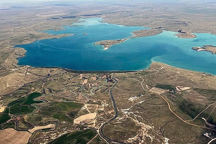
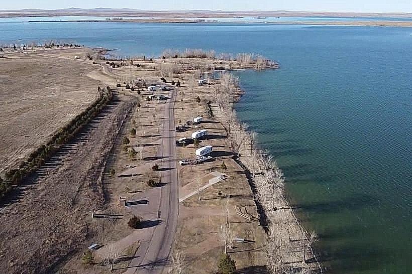
- Belle Fourche Reservoir (3.5km Southwest)
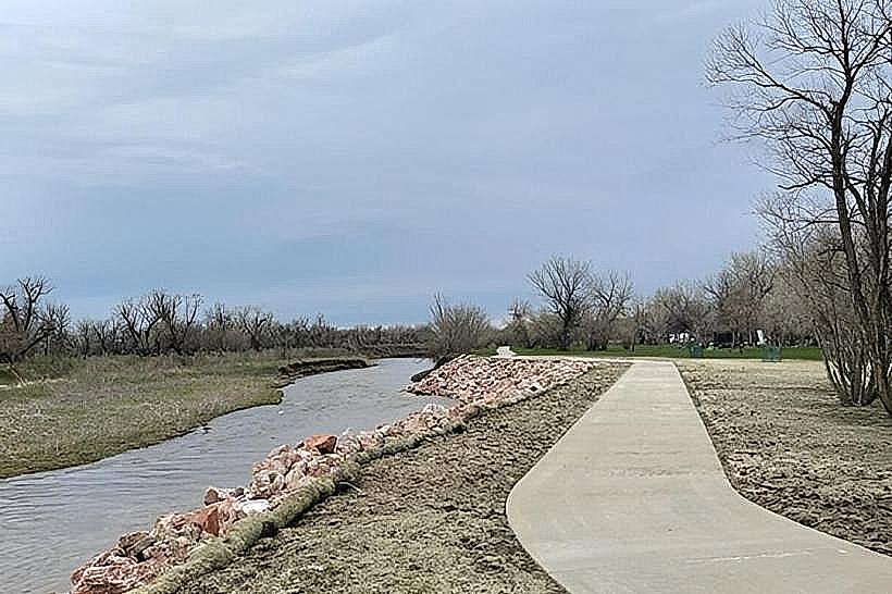
- Redwater River (2.1km East)
- Bear Butte State Park (35km Southeast)
- Devils Tower National Monument (55km West)