Landmark: Big Butte Open Space Recreation Area
City: Butte
Country: USA Montana
Continent: North America
Big Butte Open Space Recreation Area, Butte, USA Montana, North America
Big Butte Open Space Recreation Area is a geological formation located within the city limits of Butte, Montana, USA.
Visual Characteristics
The area is characterized by a prominent, conical hill composed primarily of andesite rock. The surface exhibits exposed rock faces and scree slopes, with sparse vegetation consisting of grasses, sagebrush, and scattered ponderosa pines. The summit offers a 360-degree view of the surrounding Butte landscape and the distant Rocky Mountains.
Location & Access Logistics
Big Butte is situated approximately 3.2 kilometers (2 miles) east of Butte's central business district. Access is via Continental Drive, which leads to a gravel parking area at the base of the butte. No public transportation services directly reach the recreation area. The primary access trail to the summit is a well-defined, unpaved path approximately 1.6 kilometers (1 mile) in length.
Historical & Ecological Origin
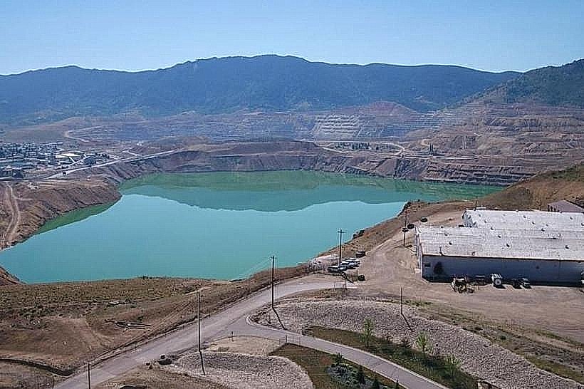
Big Butte is a volcanic plug, a remnant of ancient volcanic activity that occurred millions of years ago. Its formation involved the intrusion of magma into pre-existing rock layers, which then cooled and solidified. The surrounding landscape has been shaped by subsequent erosion and glaciation.
Key Highlights & Activities
Hiking to the summit is the primary activity. The trail is rated as moderate difficulty. Observation of local flora and fauna, including various bird species and small mammals, is possible. Photography of the Butte cityscape and surrounding topography is a common pursuit.
Infrastructure & Amenities
The recreation area provides a designated gravel parking lot. No restrooms, potable water, or designated shade structures are available. Cell phone reception (4G/5G) is generally consistent at the summit and along the access road.
Best Time to Visit
For optimal lighting conditions for photography, early morning or late afternoon is recommended. The best months for hiking are typically May through October, avoiding winter snow and ice. Midday can be exposed to direct sunlight.
Facts & Legends
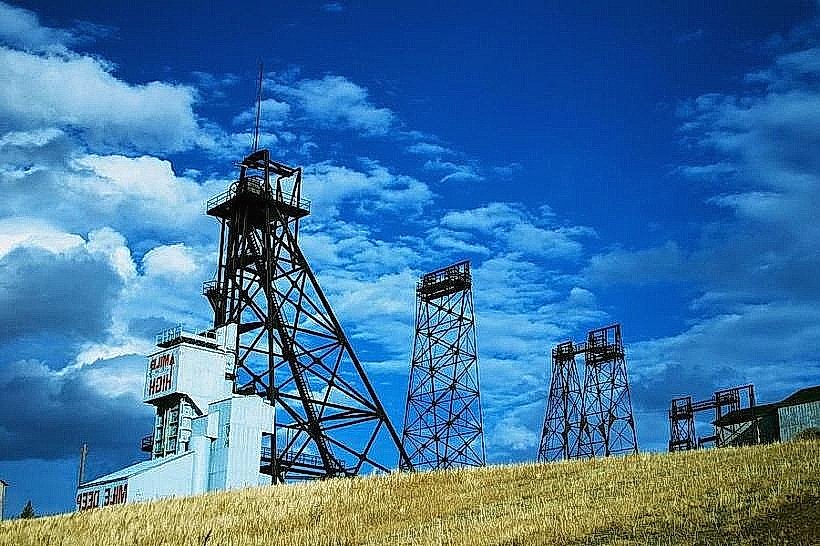
Local lore suggests that Big Butte was used as a lookout point by Native American tribes for centuries. A specific historical oddity is the presence of remnants of old mining survey markers near the summit, indicating past geological exploration efforts.
Nearby Landmarks
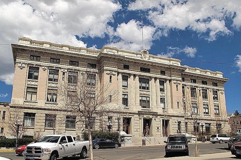
- Montana Tech of the University of Montana (1.5km West)
- Our Lady of the Rockies Statue (2.0km Southwest)
- Butte-Silver Bow Public Library (2.8km West)
- World Museum of Mining (3.5km Northwest)